Blank Map of Bulgaria – Outline Map of Bulgaria [PDF]
Download from this page your blank map of Bulgaria or outline map of Bulgaria for free as an image or PDF file. Print as many copies as you need from your downloaded maps for your educational or other purposes. Blank Bulgaria maps are particularly useful for different kinds of geography worksheets.
On this page, you will find several blank Bulgaria maps in PDF. Simply browse through our maps and pick the best blank map of Bulgaria for your needs. You can download any map by clicking on the link below its image.
Blank Map of Bulgaria with Provinces
The country of Bulgaria is a republic in Europe with a unicameral parliament. The head of government is the prime minister, and the head of state is the president. The country is a member of the European Union, NATO, the Council of Europe, and the United Nations.
The provinces of Bulgaria are the largest administrative regions of the country. Today, Bulgaria is divided into 28 provinces (области, oblasti) corresponding approximately to the 28 districts which were used before 1987. The capital city of Sofia – which is a separate province – is not included in any district and forms a special district-level entity.
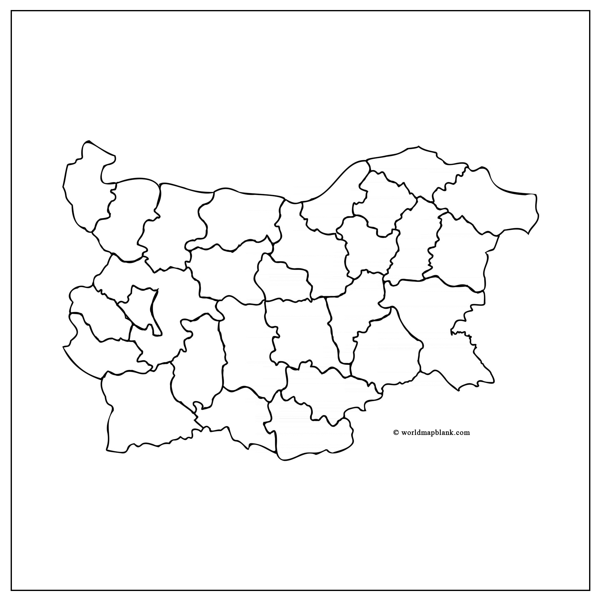
The provinces are further subdivided into 265 municipalities (община, obshtina). These municipalities typically consist of several towns and villages. The head of government of each municipality is the mayor.
The Bulgarian provinces are numbered from 1 to 28, alphabetically matching their respective capital cities.
Burgas Province (Бургас) is the largest province by area, while Smolyan Province (Смолян) is the smallest. The other Bulgarian provinces are:
- Vidin (Видин)
- Vratsa (Враца)
- Yambol (Ямбол)
- Pazardzhik (Пазарджик)
- Dobrich (Добрич)
- Gabrovo (Габрово)
- Haskovo (Хасково)
- Pernik (Перник)
- Shumen (Шумен)
- Sofia (София)
- Sofia City (София-град)
- Blagoevgrad (Благоевград)
- Khaskovo (Хасково)
- Kurdzhali (Кърджали)
- Kyustendil (Кюстендил)
- Lovech (Ловеч)
- Montana (Монтана)
- Pazardzhik (Пазарджик)
- Pleven (Плевен)
- Plovdiv (Пловдив)
- Razgrad (Разград)
- Ruse (Русе)
- Silistra (Силистра)
- Sliven (Сливен)
- Stara Zagora (Стара Загора)
- Targovishte (Търговище)
- Varna (Варна)
- Veliko Tarnovo (Велико Търново)
Bulgaria Map Outline
Bulgaria has a total population of approximately 6.8 million people. About 85% of them are ethnic Bulgarians, while the largest minorities are Turks (8.4%) and Roma (4.4%). There are large groups of Bulgarians in other countries as well. For instance, over 400,000 Bulgarians live in Germany, roughly 350,000 in Turkey and more than 300,000 in the United States.
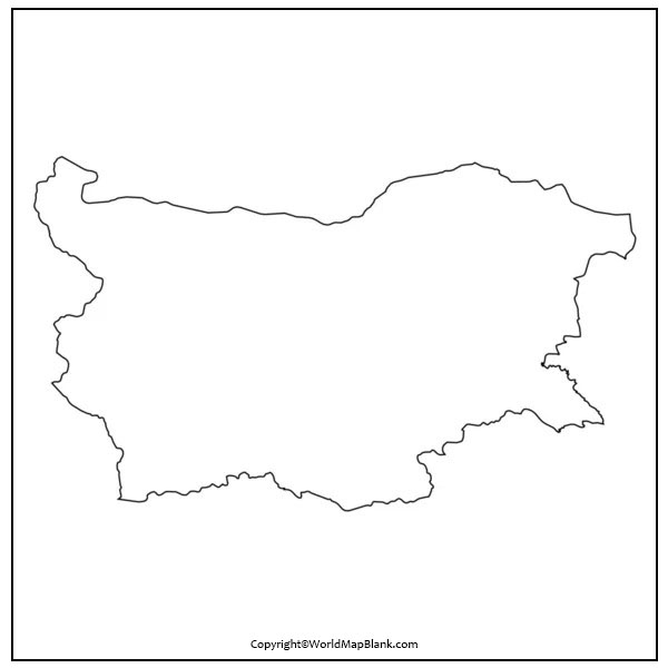
Please find below a simple outline map of Bulgaria which only shows the country’s outer borders.
Where is Bulgaria on a Map?
Bulgaria is a country located in the southeastern part of Europe. It is bordered by Macedonia and Serbia to the west, Romania to the north, Turkey and Greece to the south as well as the Black Sea to the east. Check out one of our political maps of Europe to figure out exactly where Bulgaria is located!
How Big is Bulgaria?
Bulgaria is a relatively small country with a total land area of 42,855 square miles (110,994 square kilometers). This makes Bulgaria the 16th largest country in Europe and the 104th largest country in the world. It is slightly bigger than Iceland and has about a third of the size of Finland. Bulgaria is approximately the same size as Tennessee and also has a similar number of inhabitants.
Blank Map of Bulgaria with Cities and Capital
The capital of Bulgaria is Sofia. With a population of 1.3 million, it is also the country’s largest city. Other major cities include Plovdiv, Varna, and Burgas. Sofia is the political, economic, and cultural center of Bulgaria. It is also home to many of the country’s universities and museums.
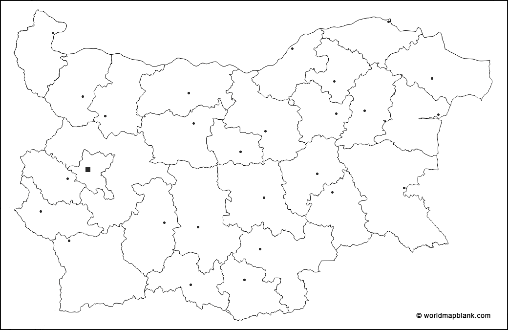
Above blank map of Bulgaria shows all the province and international country borders. Markers for major cities are included also, but not the city or province names. Consequently, this map is very helpful for memorizing both the location of the largest cities in Bulgaria and the province names.
Blank Bulgaria Map with City Names
Plovdiv is the second-largest city in Bulgaria with a population of about 500,000. It is an important economic center and a major transportation hub. The city is also home to many historical and cultural landmarks.
Varna is the third-largest city in Bulgaria with a population of about 320,000. It is a major seaport and tourist destination on the Black Sea coast. The city is also home to several universities and museums.
Burgas is the fourth-largest city in Bulgaria with a population of about 200,000. It is also a major seaport and tourist destination on the Black Sea coast. The city is home to several universities and museums.
The following blank map of Bulgaria shows all the province borders as well as the capital and major cities with names.
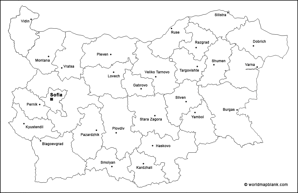
Blank Map of Bulgaria Transparent PNG
Our last blank map of Bulgaria is a transparent map in PNG format.
More Free Printable Maps to Download
Please find below a selection of other maps you can download and print for free from our website. All maps are also available as PDF files. If you don’t find the desired map in this list, please use the search feature at the top of this page.
Blank Maps
Printable Blank Map of Ireland
Printable Blank Map of the Czech Republic
Labeled Maps
Labeled Map of the World with Oceans and Seas
Texas Labeled Map with Counties

