Blank Map of Germany – Germany Map Outline [PDF]
On this page, we offer different versions of a printable blank map of Germany and an outline map of Germany. You can download and use any map free of charge as an image or PDF file.
A blank map can be used for practicing and testing geographical knowledge. Students or your kids can mark locations on the map, draw border lines, color specific regions, or sketch prominent landmarks. It also can be used for planning trips, tracking your travels, or marking any type of location on the map.
To enhance your learning experience, combine any Germany outline map from this page with a political map of Germany with cities. We have several maps that fully complement the ones you can find here.
And finally, to make lesson planning and homeschooling a bit easier for you, we also offer ready-made Germany map worksheets for states, capitals, and cities. Check them out!
Blank Map of Germany
Germany is a country located in Central Europe (or Western Europe) and is officially called the Federal Republic of Germany. It has international borders with Denmark, Poland, the Czech Republic, Austria, Switzerland, France, Luxembourg, Belgium, and the Netherlands. Germany also has a coastline along the North Sea and the Baltic Sea. The national capital of Germany is Berlin, and the total land area covered is 137,847 square miles (357,022 square kilometers).
With a population of over 83 million, Germany is the most populous country in the European Union. It has been part of the process for European unity from its early beginnings after the Second World War. Learn more about the evolution of the European Union on our map of the EU page.
Download as PDF (A4)
Download as PDF (A5)
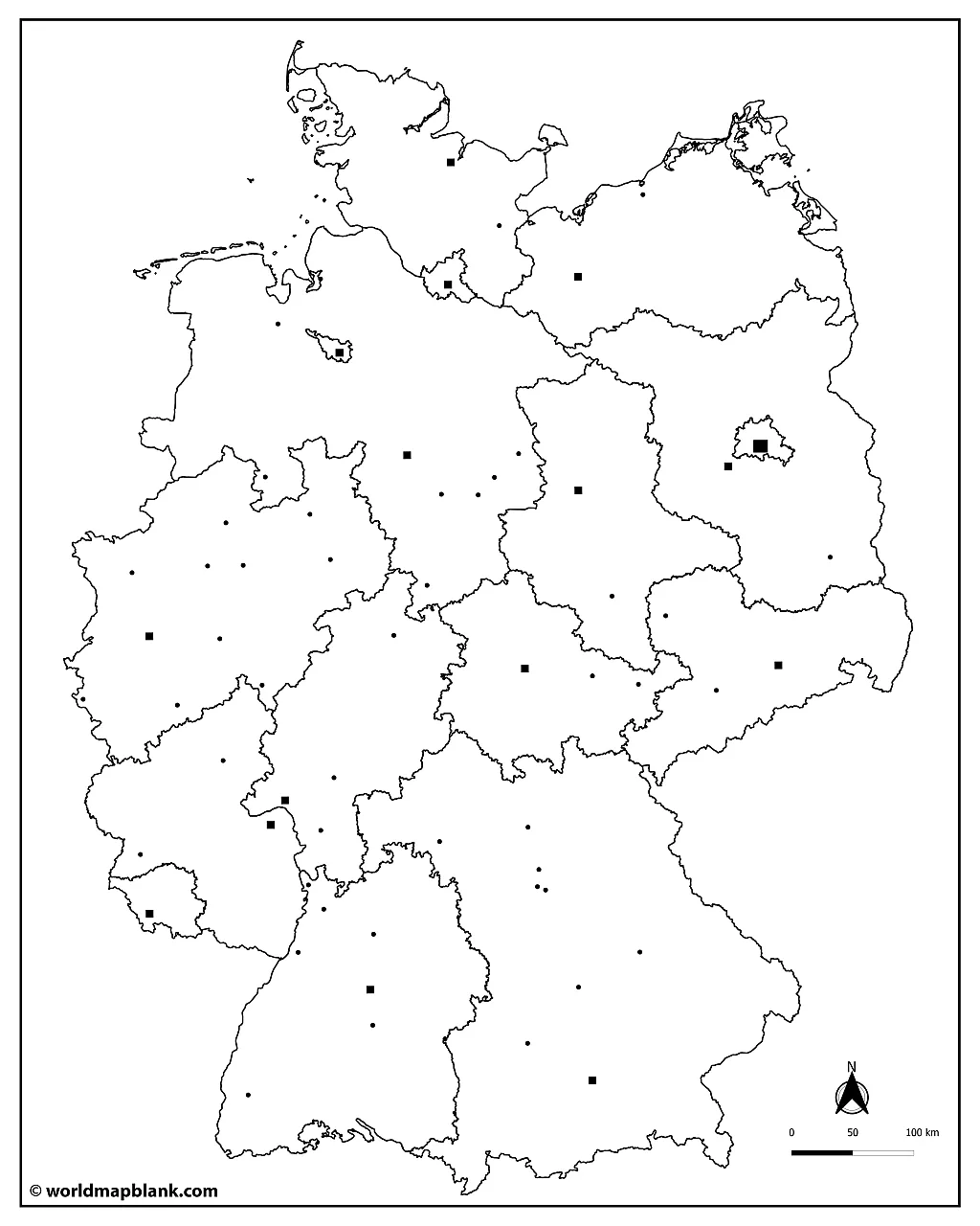
The above blank map of Germany already has markers for the largest German cities. This makes it easier to label them in an exercise, because students already see their location. On our political map of Germany page, we offer several labeled maps that include exactly the same cities. Combine a labeled and a blank map of Germany to ensure the best possible learning success.
Germany Map Outline
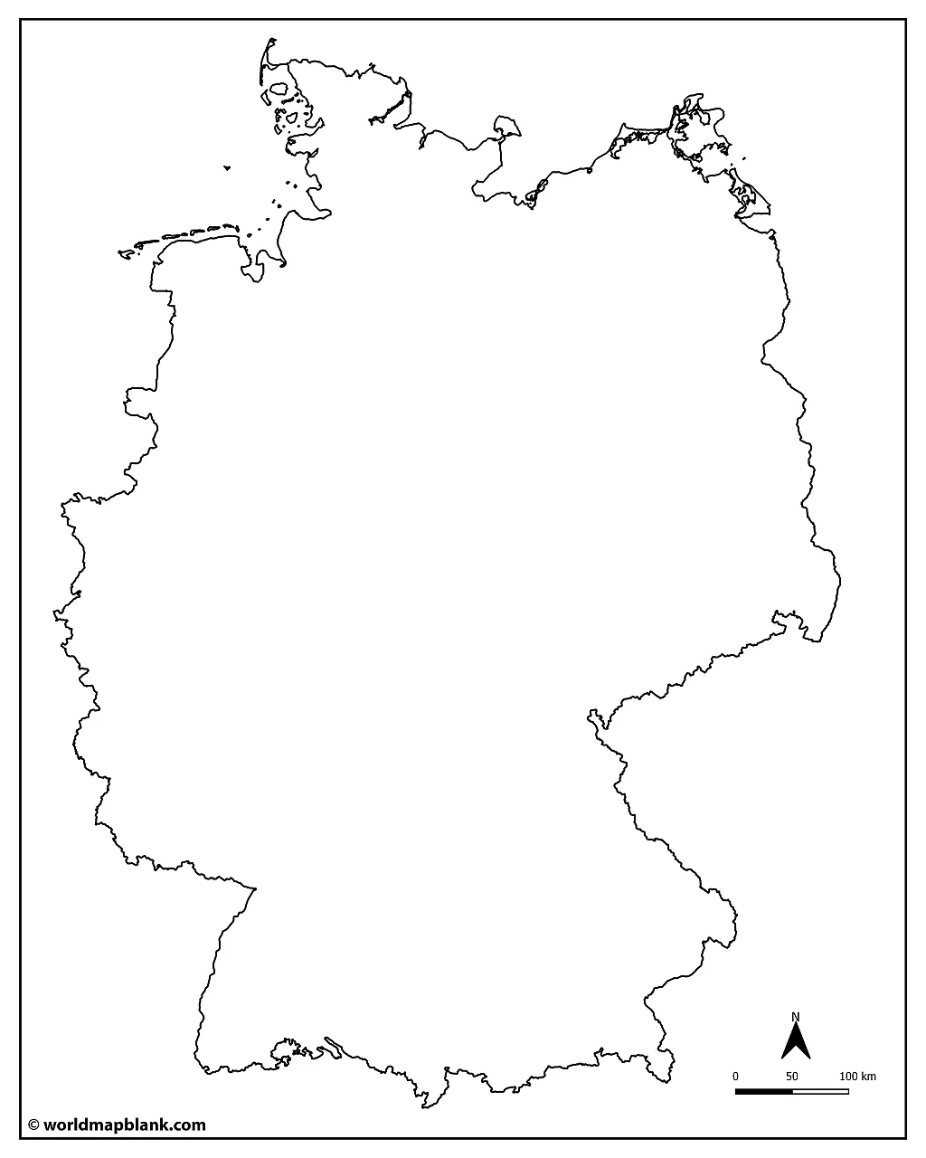
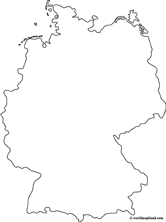
Our following two maps only show the outline of Germany, meaning the outer borders of the country.
Download as PDF (A4)
Download as PDF (A5)
An outline map of Germany is a very simple blank map that only shows the outer boundaries of the country. Teachers or parents can print unlimited copies of any map and use them to test their students or children. Tasks like labeling, coloring, and drawing various geographical features or symbols into the map are valuable options.
You could also organize the learning activities in a step-by-step process. Start with states and state borders, continue with state capitals, and finish with rivers or mountain ranges. Another task could be to mark the major highways and railways. You can use a labeled map of Germany to accompany and facilitate the process.
Blank Germany Map
The mountain range of the German Alps is located in the south of the country and contains some of the highest mountains in Europe, including the Zugspitze (2,962 m), the Watzmann (2,713 m) and the Nebelhorn (2,224 m).
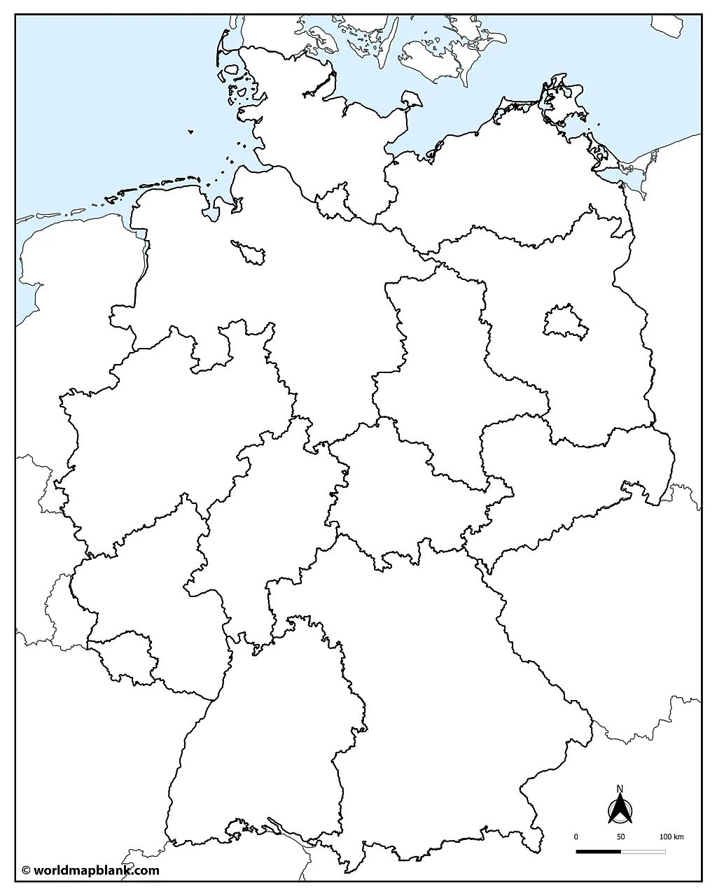
Our following map is a blank Germany map that includes all the inner and outer borders of Germany, the North Sea, and the Baltic Sea. The international borders of the neighboring countries of Germany are also drawn into the map.
Download as PDF (A4)
Download as PDF (A5)
In the north of Germany is a lowland region known as the North German Plain. This flat area stretches from Holland through northern Germany all the way to Poland. Lastly, Germany’s central region is known for its hilly countryside and forests.
The following Germany map outline only shows the German states without any other countries.
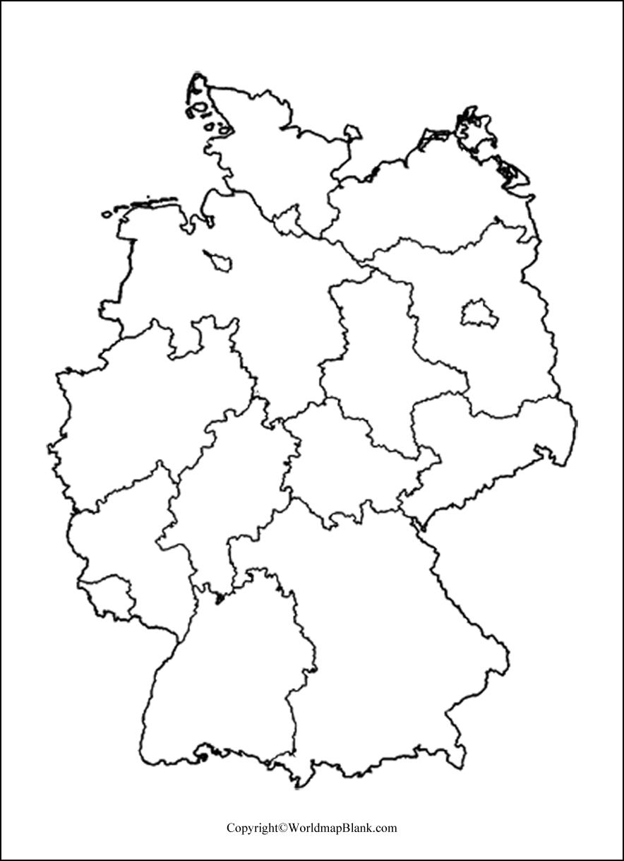
This blank map of Germany depicts the country’s states and the internal borders. Here is a list of the 16 German states (Länder) and their capitals:
- Baden-Württemberg (Stuttgart)
- Bavaria (Munich)
- Berlin (Berlin)
- Brandenburg (Potsdam)
- Bremen (Bremen)
- Hamburg (Hamburg)
- Hesse (Wiesbaden)
- Mecklenburg-Western Pomerania (Schwerin)
- Lower Saxony (Hanover)
- North Rhine-Westphalia (Dusseldorf)
- Rhineland-Palatinate (Mainz)
- Saarland (Saarbrücken)
- Saxony (Dresden)
- Saxony-Anhalt (Magdeburg)
- Schleswig-Holstein (Kiel)
- Thuringia (Erfurt)
What Are the Longest Rivers in Germany?
Some of Germany’s major rivers include the Rhine River (1,236 km total length), the Danube River (2,857 km), and the Elbe River (1,091 km). The longest river only running through Germany is the Weser River (744 km).
The Rhine is one of the busiest waterways in the world and provides a vital shipping route through Europe. It originates in the Swiss canton of Graubünden before running through Switzerland, Liechtenstein, Austria, Germany, France, and the Netherlands. It empties out into the North Sea close to Rotterdam.
The Danube flows through ten countries and is the second longest river in Europe after the Volga. The headstreams of the Danube River (Brigach and Bred) originate in the Black Forest, the river’s delta is at the Black Sea.
Another major river is the Elbe River which begins in the Czech Republic and flows north through the German cities of Dresden and Hamburg to the North Sea.
Blank Germany Map with Neighboring Countries
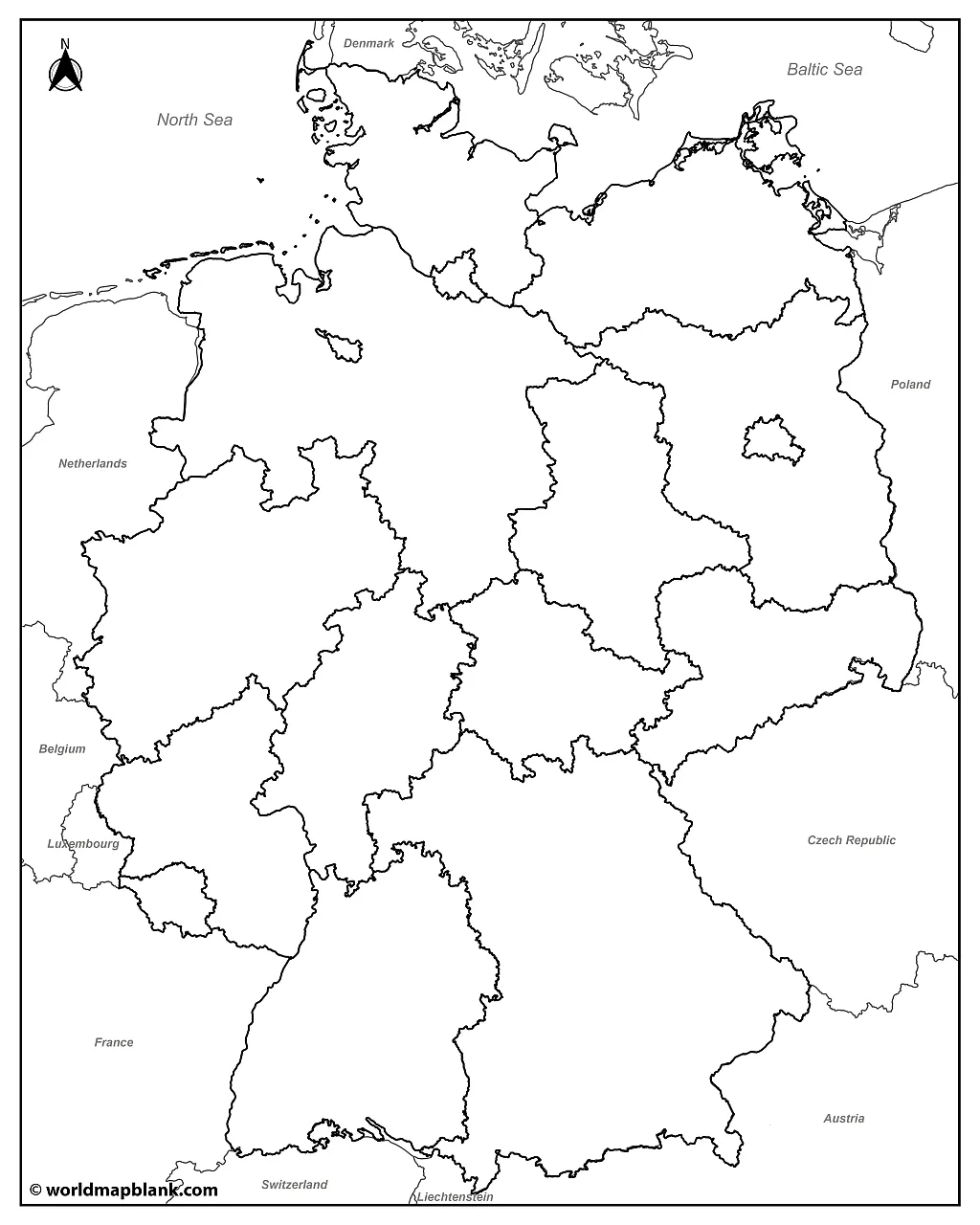
Here is an alternative outline of Germany map, which also includes the names of the surrounding countries.
Download as PDF (A4)
Download as PDF (A5)
Download your printable map of Germany for teaching, learning, and other purposes. You can print as many copies as you like free of charge. Additionally, we also offer labeled maps of Germany with states and major cities.
Empty Germany Outline Map
Our following map is similar to the one before but does not show the country names. Use it, for example, when you want your students to mark the neighboring countries on the map as well. Also, check out our editable Germany worksheets with all the states and capitals.
Download as PDF (A4)
Download as PDF (A5)
Transparent PNG Germany Map
A transparent PNG Germany can be used for web design, PowerPoint presentations, and graphic artwork. Simply download the image of the transparent map of Germany in PNG format. Alternatively, you can also get this printable map as a PDF file.
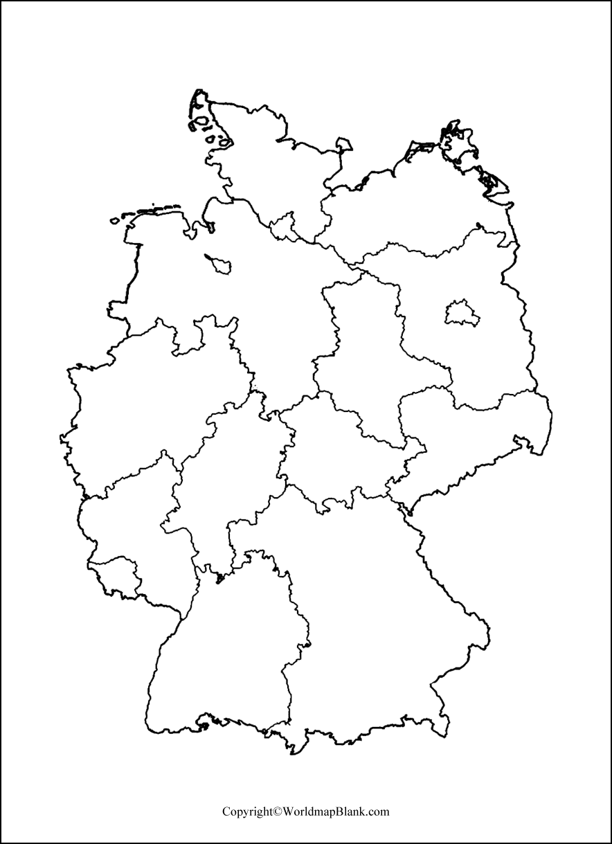
Worksheets with blank maps are great for homework or practice assignments. They can also be used to test your students’ knowledge in exams.
Germany Blank Map for Practice Worksheet
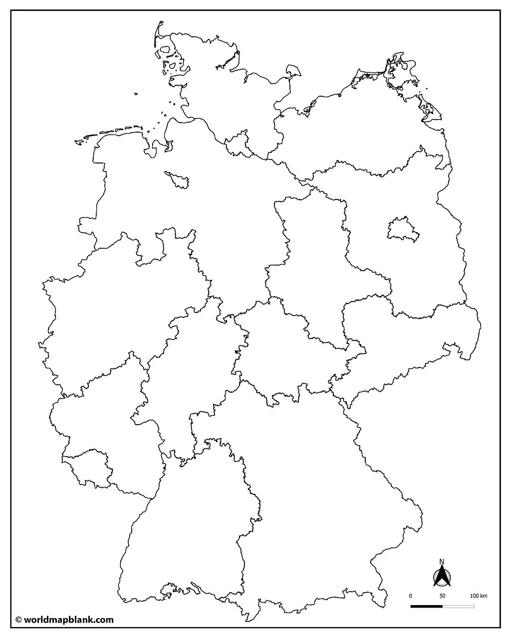
If you want to make your own worksheets for your students or kids, use the following blank map of Germany. We offer two different versions to choose from in other formats.
Download as PDF (A4)
Download as PDF (A5)
A practice worksheet is helpful for classroom activities and homework assignments. You could also utilize a worksheet to test geographical knowledge in an exam.
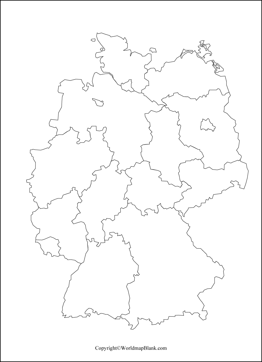
Germany Map Black and White
More Blank Maps and Labeled Maps
Check out the links below to more geography sources, such as maps of European countries, continent maps, or world maps. If your desired map is unavailable, don’t hesitate to contact us, and we will do our best to create it for you. Also, remember to use the search function in the header menu to find more valuable maps!
Country Maps
- Regions Map of France
- Blank Map of France
- UK Map Outline
- Germany Map with States
- Labeled Map of China
- Blank Map of China
- Australia Map with States
- Blank Map of the United States
- USA Map with all 50 States
- Labeled Map of Italy
- Outline Map of Italy
- Blank Map of Canada
- Provinces of Canada Map
Continent Maps
- Political Map of Europe
- Blank Map of Europe
- Blank Map of Africa
- Africa Map with Countries
- Blank Map of Africa
- Map of South America with Countries
- Blank Map of South America
- Physical Map of Europe
- Blank Map of Asia
World Maps
- Blank World Map
- World Map for Kids
- Oceans Map of the World
- Political World Map
- World Map with Latitude and Longitude
- Physical World Map
- World Map with Continents
With maps created by:
Edelweise Shane Angeles is a skilled GIS Analyst and Cartographer from Davao City, Philippines. Holding a Bachelor's in Geology and Earth Science, he specializes in creating practical, clear maps using tools like Global Mapper, ArcGIS, ArcMap, and Google Earth Pro. Edelweise creates both blank and labelled maps for World Map Blank.


