Printable Blank Map of Ghana – Outline, Transparent, PNG map
By referring to a Blank Map of Ghana, scholars of Geography can use this blank map as a guide to draw the most accurate picture of the country. This map can be utilized as the basis of studying the complete geographical structure of the country. Ghana is a West African country, and the blank outline map can be downloaded, printed, and used for educational purpose.
- Blank Map of Armenia
- World map with longitude and latitude
- World map with continents
- Blank map of World
- labeled map of Asia
- Physical map of World
- Labeled map of Africa
- Blank Map of Egypt
- Blank Map of Armenia
- Political world map
- Blank Map of Finland
- Blank Map of Fiji
- Labeled map of Europe
- World map poster
- World map with oceans
- World time zone map
- Labeled map of Antarctica
- Blank Map of Ethiopia
- Blank Map of Azerbaijan
- Labeled map of World
- Labeled map of South America
- Blank Map of Sudan
- Labeled map of North America
- Blank map of Asia
- Blank Map of France
Blank Map of Ghana – Outline
From the Ghana map outline, the user can see that this outline map represents this country situated along the southern coastline on the Gulf of Guinea, in West Africa. Further, it can be said that it is located in the Northern Hemisphere with the Prime Meridian passing through the country. Ghana has borders with three countries, like Ivory Coast, Burkina Faso, and Togo to the west, north, and east, respectively. It has borders with Atlantic Ocean, in the south as well.
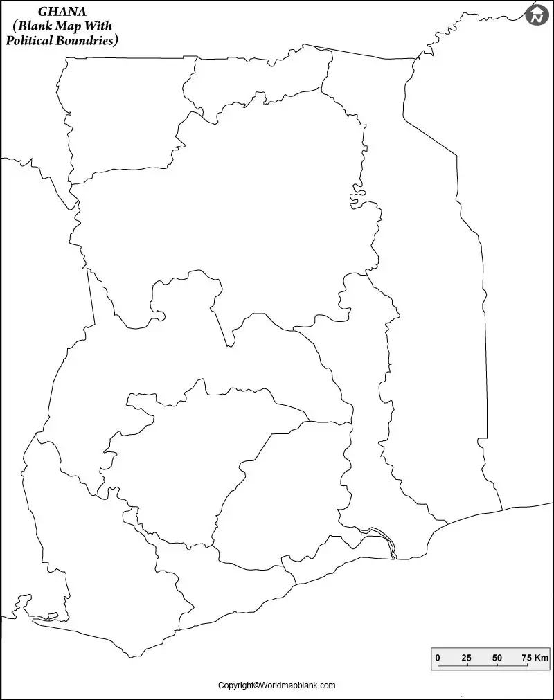
The country occupies a total land area of 239,567 square kilometers. One of the best methods used to draw the map of Ghana for any beginner is that he or she has to draw it with the assistance of a blank Ghana map. Such a blank map provides the details of boundaries of the country. It acts as guidelines from which he or she can easily draw a complete map. Prints of Ghana map outline can be offered to schoolchildren to teach them to map the shape of Ghana without making errors.
Printable Map of Ghana
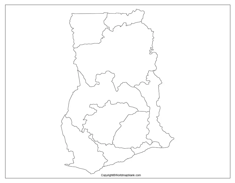
If the user does not intend to make efforts to draw the map of Ghana but is looking for a decent map of Ghana, then he or she should go for the printable map of Ghana available on the web. This printable map is readily usable without any such additional work, and through this map, the user can have a quick overview of Ghana. The user can print this map from the web with a single click. It can be used for completing the school assignment or helps the user to explore the political boundaries of Ghana.
Transparent PNG Ghana Map
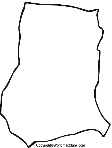
The transparent PNG Ghana map is a special map meant for all those users who intend to enjoy an in-depth and realistic view of the objects of the country. It can be seen that Ghana is filled with a variety of interesting geographical features, which can be visualized in the transparent mode, using this transparent map. In this mode, the user will be able to visualize the details of geographical objects with maximum clarity existing on the surface of the country.
Map of Ghana for Practice Worksheet
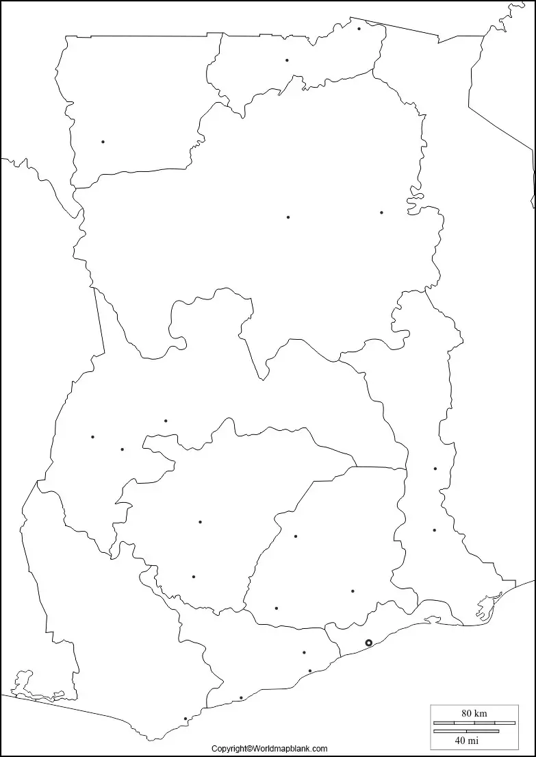
If the user has to take up any exam about the geography of Ghana and wishes to prepare for the exam well, then he or she should get access to a well-designed worksheet of Ghana map. Through this worksheet, the user can practice in learning and acquiring the desired knowledge of the geography of Ghana. The worksheet can be used as a test paper in schools for conducting examinations.
Related Posts


