Printable Blank Map of Guatemala – Outline, Transparent, PNG Map
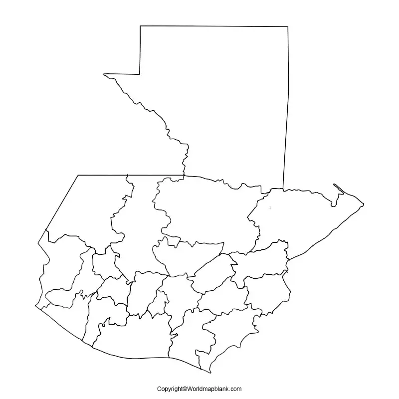
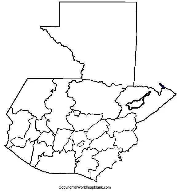
Blank Map of Guatemala allows the user to include whatever information that he or she needs. In general, it may be said that a blank map of a country is often used for conducting tests in geography in the classroom or for the purpose of imparting knowledgeable education. With regard to a blank map of Guatemala, it can be seen that the map reveals international and state boundaries, capitals of the country, and other cities of importance. Both unlabeled as well as a labeled blank map of Guatemala with no text labels are available to meet the requirements of the user.
- Blank Map of Armenia
- World map with longitude and latitude
- World map with continents
- Blank map of world labeled map of Asia
- Physical world map
- Labeled map of Africa
- Blank Map of Egypt
- Blank Map of Armenia
- Political world map
- Blank Map of Finland
- Blank Map of Fiji
- Labeled map of Europe
- World map poster
- World map with oceans
- World time zone map
- Labeled map of Antarctica
- Blank Map of Ethiopia
- Blank Map of Azerbaijan
- Labeled map of World
- Labeled map of South America
- Blank Map of Sudan
- Labeled map of North America
- Blank map of Asia
- Blank Map of France
Blank Map of Guatemala – Outline
The country of Guatemala is mountainous, except for the vast northern lowlands of Petén department and the southern coastal area. From west to east, two mountain chains enter Guatemala, dividing the country into three major regions of importance. The regions include the highlands where the mountains are situated, the Pacific coast, and the southern region of the mountains. A blank map shows the Republic of Guatemala, which is recognized as the Central American nation. The country is home to thirty volcanoes out of which many of which are active still.
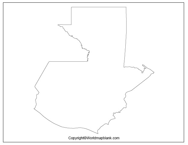
The land area covered by this country is about 42,085 square miles or 109,000 square kilometers. Such a map can be downloaded, printed and utilized for learning geography. An outline map of Guatemala shows that it is a mountainous country situated in the region of Central America.
Printable Map of Guatemala
It is possible to gain access to various types of fully printable map of Guatemala in several sizes. Besides, the map depicting various options of color can be made available to the user from the web, which can be used for personal and classroom use. Users can print the printable map of Guatemala in just one single click using a home printer or can be printed from the outside market.
Transparent PNG Guatemala Map
Through the use of a transparent PNG Guatemala map, it is possible for the user to have knowledge about the geographical objects of the country. All that the user has to do is to click on the map to view such a geographic region of the country in a transparent manner.

Map of Guatemala for Practice Worksheet
The map of Guatemala for practice worksheet is specially designed for students who intend to learn the geography of Guatemala. The practice sheet is readily available on the web and can be printed, which can be downloaded by assigning the print option from a home-based printer, free of charge. If not, the user can get it printed from outside.
The practice worksheet consists of a set of questions, which enables the user to mark appropriate answers in regular practice. The worksheet can also be used as a test paper by the user by answering the given questions within a specific time frame. The user can practice this several times so that he or she can gain the desired proficiency in the geography of Guatemala.
Related Posts


