Welcome to WMB – We Make Better Maps
Explore the world through maps and dive into our extensive collection of map resources. Download your free map as a PDF or image file, get high-resolution vector maps [coming soon], teach or learn with map worksheets, and track your travels with our scratch-off wall maps [coming soon].
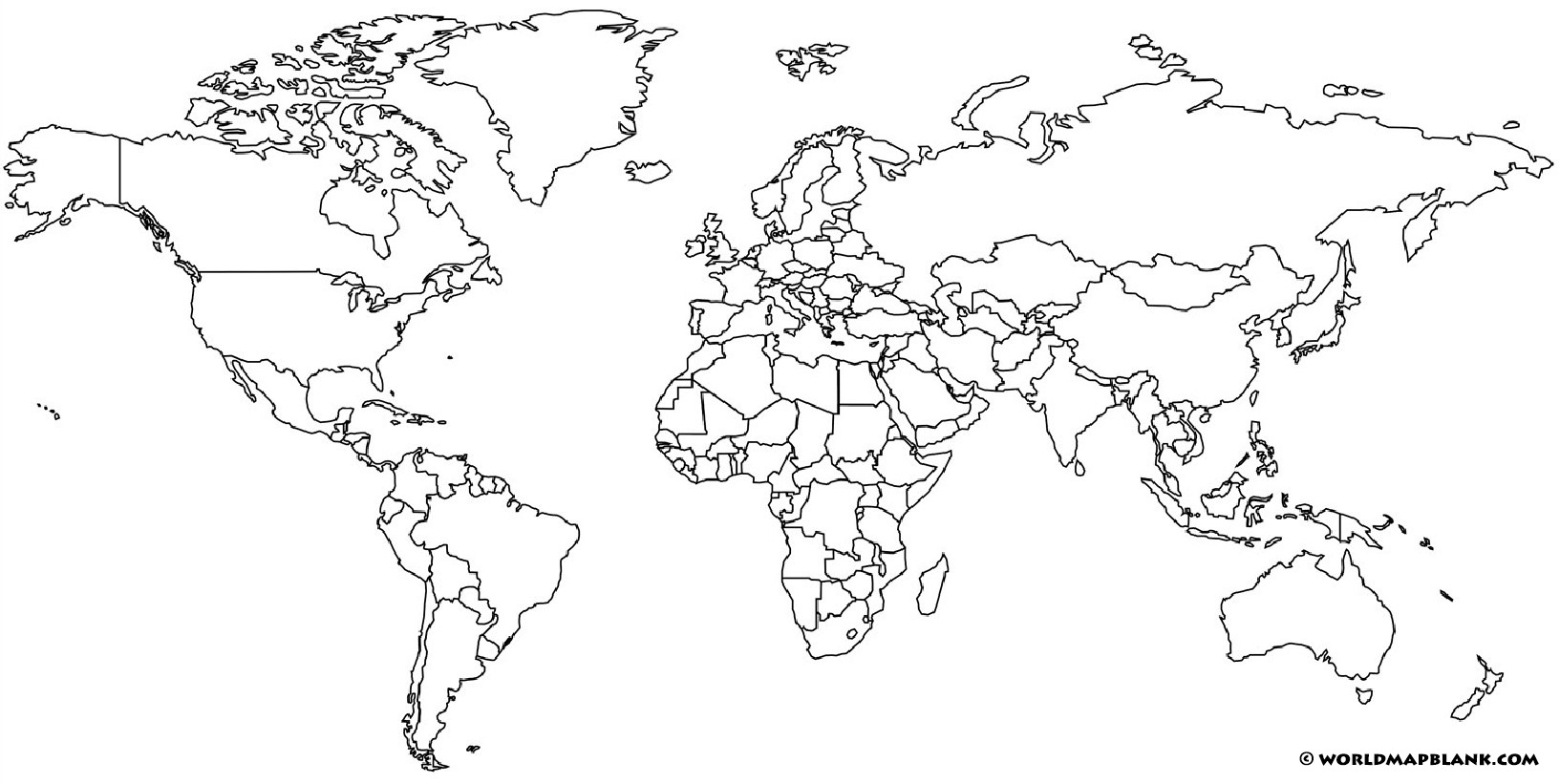
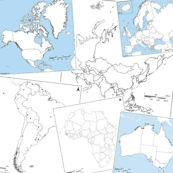
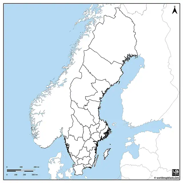
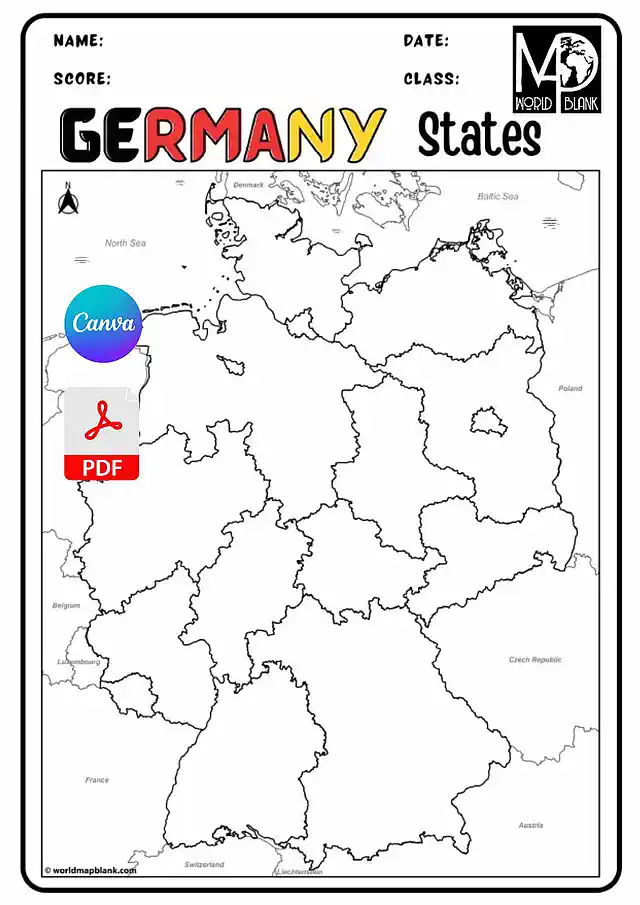
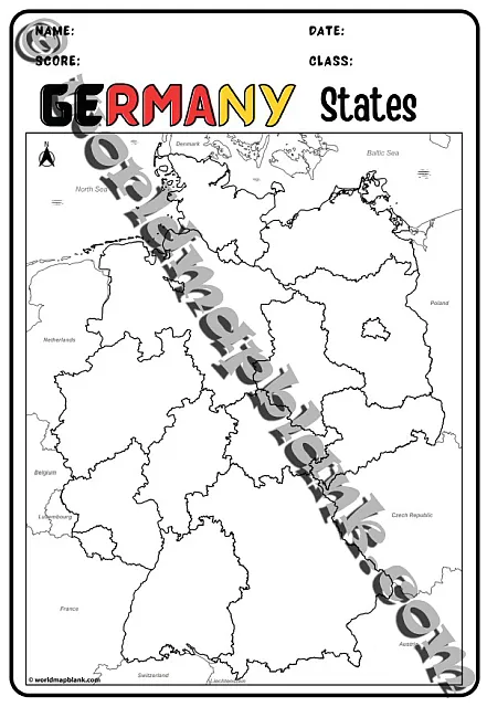
Free Blank Maps
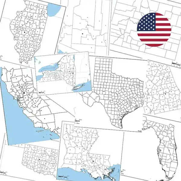
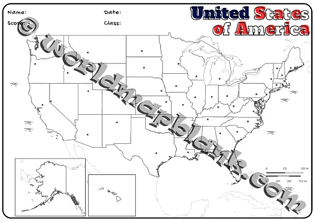
We offer free and printable blank world maps and outline maps of the continents and many countries worldwide. Additionally, you can download blank USA state maps as printable PDF files.
Free Labeled Maps
In addition to our blank maps, we provide free and printable labeled maps of the world, continents, and countries. For many of our outline maps, you can download a corresponding labeled map that is the same size and has similar features.

Sign up for Our Newsletter
Stay up-to-date about our new maps, worksheets, and blog articles, and receive special offers and discount codes directly in your inbox.
Our newsletter is sent once per month to inform you about updates to our site content and products. No spam, we promise!
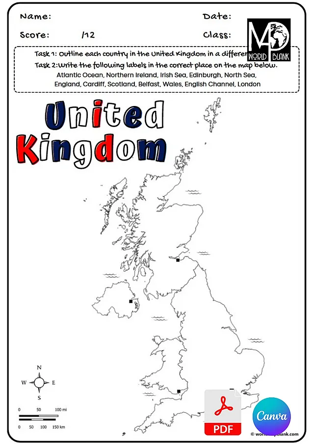
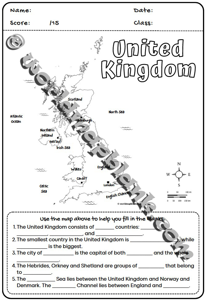
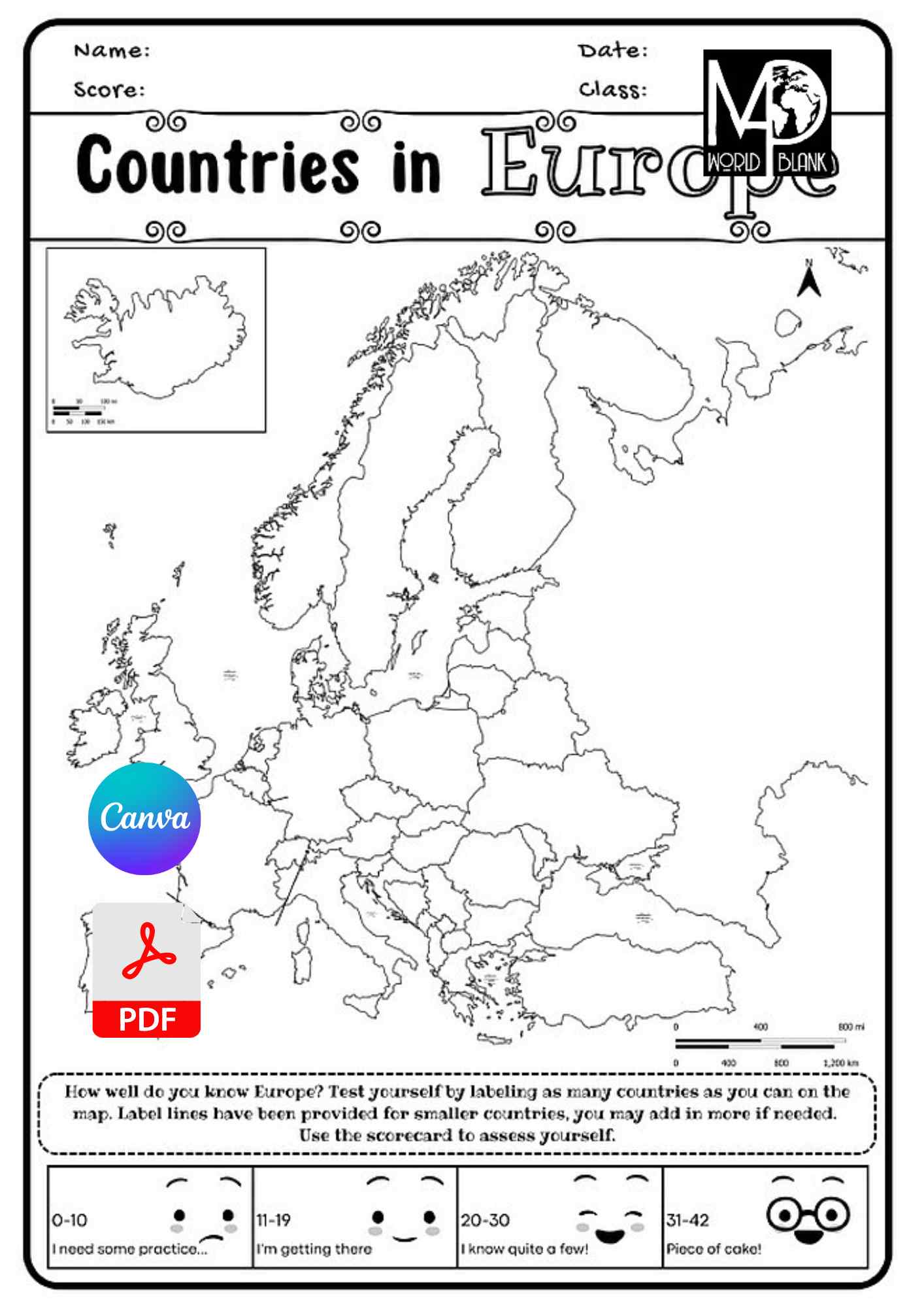
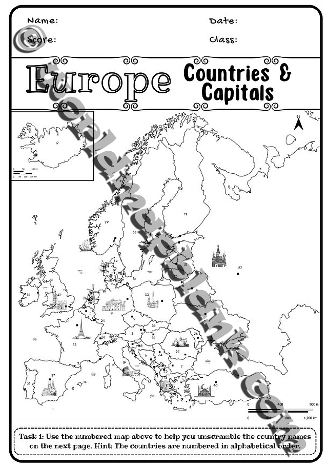
Geography Worksheets with Maps
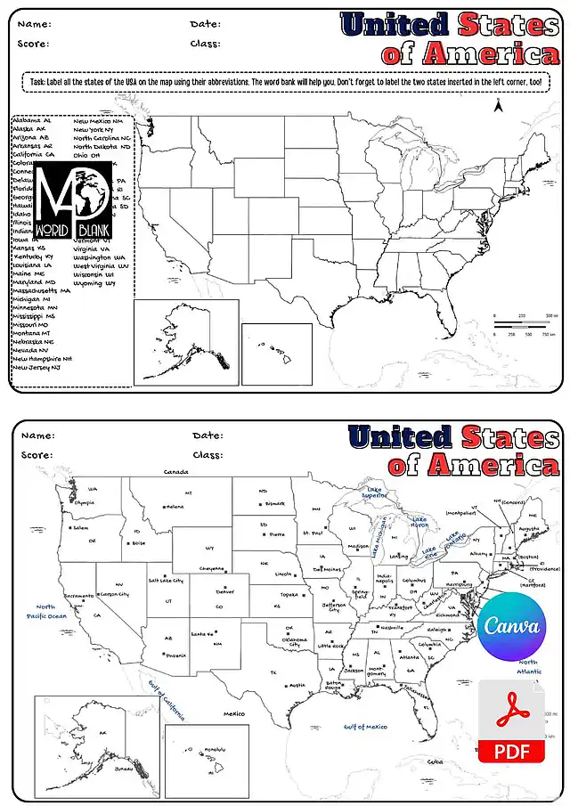
Blank maps are great for creating worksheets for geography, history, and general social science teaching. However, creating fun and interactive learning resources can take time and effort. Check out our collection of ready-made and customizable map worksheets to make your lesson preparation easier! We regularly add new affordable worksheet packs for more countries and regions. Here are just a few of our most popular ones:
-
Sale
UK Map Worksheets: Countries, Capitals & Cities
Original price was: 3,99 €.2,99 €Current price is: 2,99 €.
Articles From Our Blog
Our blog covers exciting topics from the world of geography and mapmaking. Check out our latest articles below!
Most Popular Maps
Here is a small collection of our most popular maps with links for direct access. If you are looking for a particular map, you can also use the search feature in the top menu.


