Printable Blank Map of Uganda – Outline, Transparent, PNG Map
Get the blank Uganda Map and make yourself aware of the geographical characteristics of this country along with the printable blank map templates to draw the accurate map of Uganda.
- Printable Map of France
- Blank Map of Armenia
- World map with longitude
- World map with continents
- Blank map of World
- Labeled map of North America
- Labeled map of Asia
- Physical map of World
- Labeled map of South America
- Labeled map of Africa
- Printable Map of Egypt
- Printable Map of Ethiopia
- Labeled map of Europe
- World map poster
- Labeled map of Antarctica
- World map with oceans
- World time zone map
- Printable Map of Azerbaijan
- Labeled Map of World
- Printable Map of Sudan
- Blank map of Asia
- Political Map of World
- Printable Map of Finland
- Printable Map of Fiji
Uganda is basically an African country which is located in the central region of Africa. The border of Uganda is shared with Keyna, Sudan, Tanzania, Rwanda etc and it has the significant composition of Victoria lake in the Southern part. The capital city of Uganda is Kampala which is the major city of the country. English and Swahili are the two major spoken languages in Uganda which are spoken both by the native and migrants Africans.
Uganda is although the Landlocked country but the Southern part of the country is composed of one huge Victoria lake, in which there are further many small islands. This southern region of Uganda is also the place where the majority of major cities of the country are located.
The economy of Uganda is agriculturally centered as the country exports several kinds of agricultural products to the international market. It includes the product such as Coffee, Sugar, Flowers, and Beans, etc. If you want to know about more such geographical insight of Uganda then check out our various types of printable blank maps template of this country.
Uganda Blank Map Outline
Well, any user who is drawing the map of Uganda for the very first time would surely find it hard to draw the accurate map, since it’s never an easy task. We understand this dilemma of our users and to help them out we have drafted this blank outline map template of Uganda.
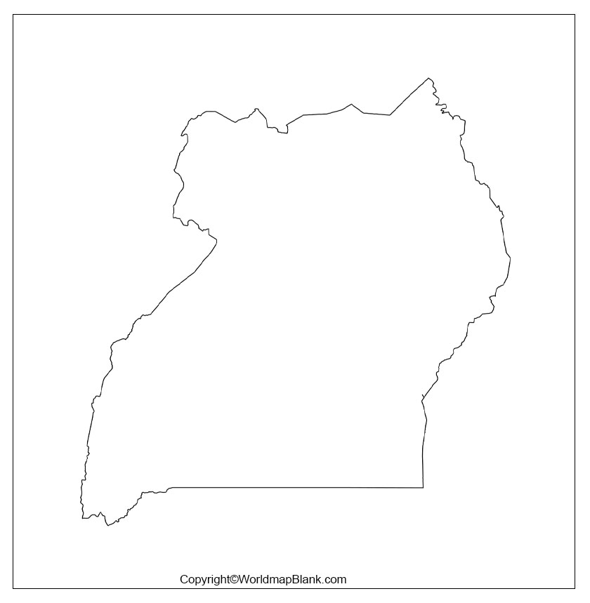
In this template, users can find out the outer structure of Uganda’s boundaries, which would guide the users in drawing the overall shape of this country.
Printable Map of Uganda
Well, if you are seeking the quick geographical view of Uganda without drawing the map of the country or buying it from the market, then we have the printable map of Uganda for you.
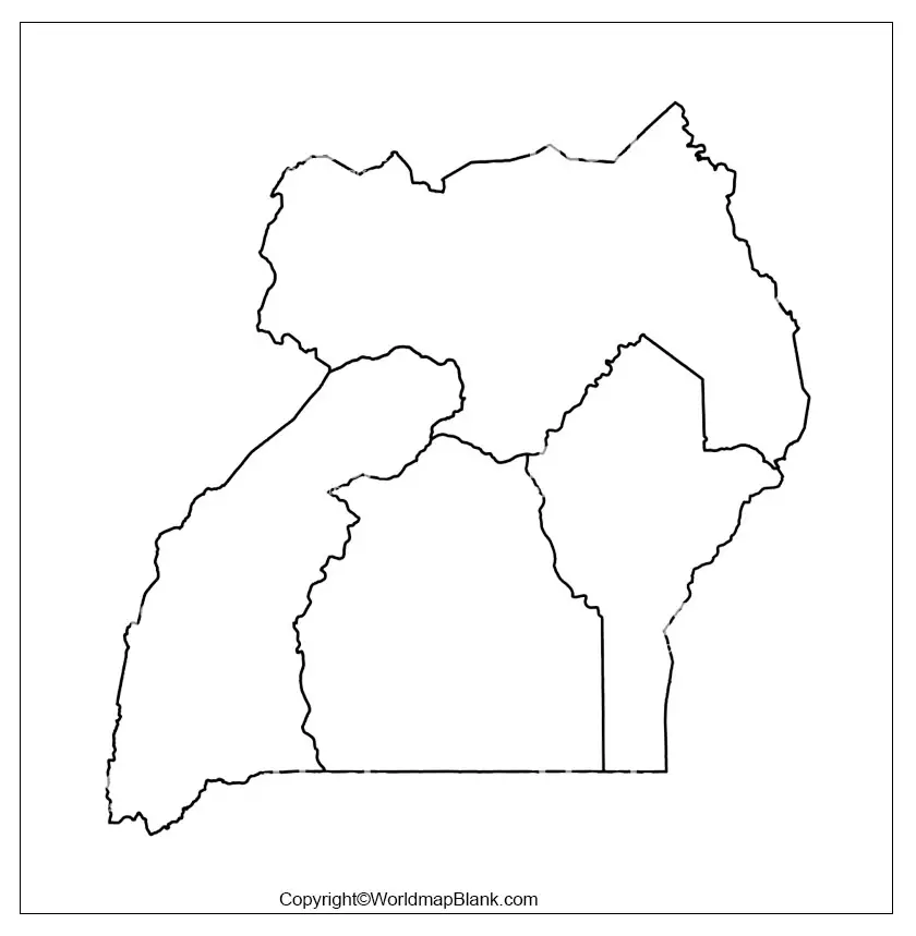
This map being the printable map is an effortless map, since the users don’t have to make any efforts on its preparation rather it’s readily usable. This high definition map of the country can be used across the classroom or in exploring Uganda.
Transparent Uganda PNG Map
If you basically want to get deep into the geography of Uganda and have a detailed view of the objects from the country, then you can surely give a try to our transparent map of Uganda.
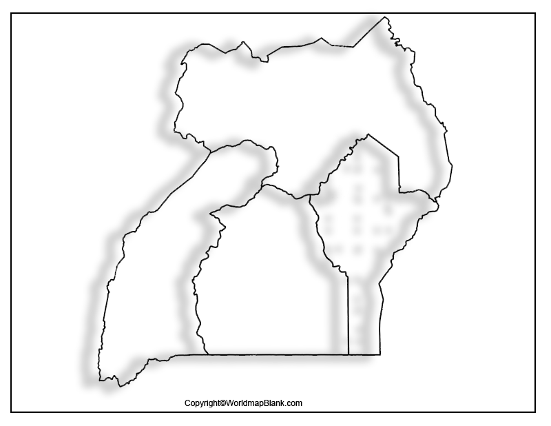
This map is fully transparent which means you can have inside out view of any objects such as the small islands of the country or the plain land surface etc.
Map of Uganda Practice Worksheet
If you are confident enough of your geographical knowledge about Uganda, then we advise you to test or enhance your knowledge even a way further with our Uganda map worksheet.
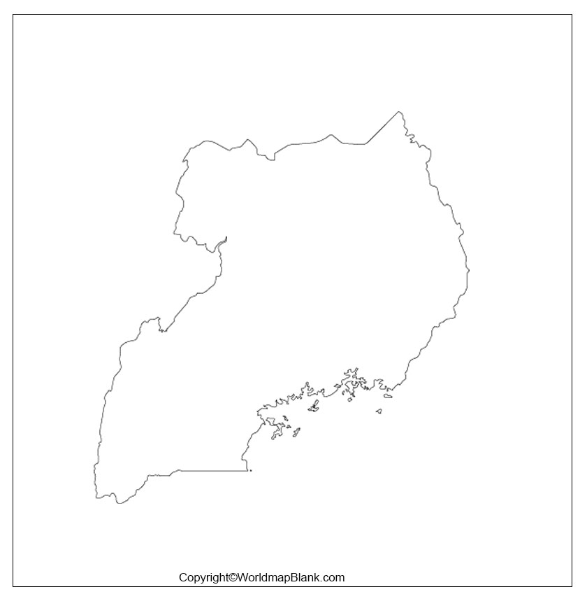
This worksheet is comprised of some questions regarding the geographical characteristics of the country, which you can answer with you knowledge. This worksheet is available for all of our readers on a single click.
Related Posts


