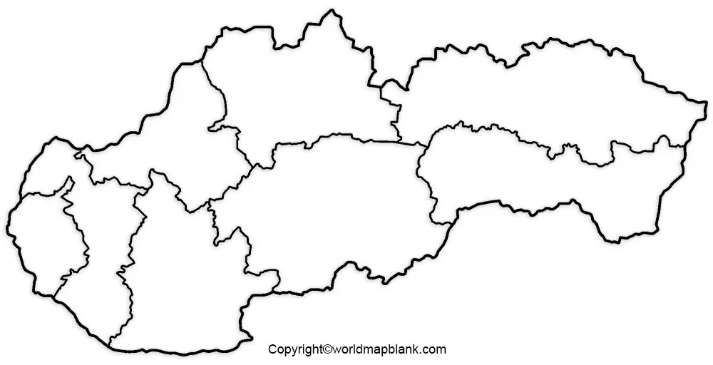
Printable Blank Map of Slovakia – Outline, Transparent, PNG map
Blank Map of Slovakia is used by students and learners to study the geography of the country, Slovakia. This is a landlocked country situated in Central Europe and officially designated as the Slovak Republic. It has borders with the Czech Republic in the northwest, Austria in the west, Hungary in the south, Ukraine in the east, and Poland in the north.
- Blank Map of Cuba
- Blank Map of Comoros
- Blank Map of France
- Blank Map of Armenia
- World map with longitude and latitude
- Blank Map of Armenia
- World map with continents
- Blank map of World
- Labeled map of North America
- labeled map of Asia
- Physical map of World
- Labeled map of South America
- Labeled map of Africa
- Blank Map of Egypt
- Blank Map of Ethiopia
- Labeled map of Europe
- World map poster
- Labeled map of Antarctica
- World map with oceans
- World time zone map
- Blank Map of Azerbaijan
- Labeled Map of World
- Blank Map of Sudan
- Blank map of Asia
- Political Map of World
- Blank Map of Finland
- Blank Map of Fiji
- Blank Map of Chad
- Blank Map of Cameroon
- Blank Map of Croatia
- Blank Map of Chile
- Blank Map of Cabo Verde
- Blank Map of Cambodia
- Blank Map of China
- Blank Map of Uzbekistan
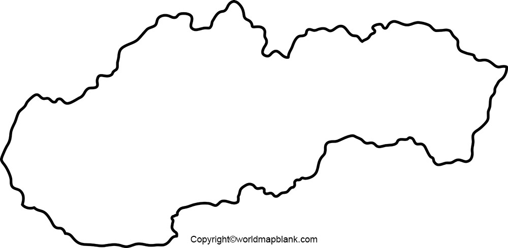
Blank Map of Slovakia – Outline
The land area occupied by Slovakia is approximately 49,000 square kilometers, and its terrain is mostly mountainous. The beautiful nature of the country reveals that it has lowlands, undulated mountain ranges, mountain pastures; the height of the smallest mountain shooting up to 8.710 feet or 2.655 meters, in Europe. This is considered as the highest point in Slovakia and known as Gerlachovsky Stit.
The population of the country is more than 5.4 million and comprise mostly of ethnic Slovaks. Slovak is the official language spoken in this country and the capital city is Bratislava. Blank map of Slovakia is used by students to understand and learn the geographical topography of Slovakia. An outline blank map of Slovakia provides a good aid in learning about Slovakia. Learners will be able to draw a map of Slovakia by using the blank map’s outline.
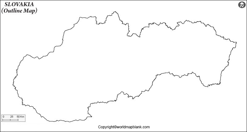
Printable Map of Slovakia
It is a fact that drawing a map of any country or region is very difficult without the assistance of a map outline. However, a printable map of Slovakia is used by the students of geography to draw an outline of the borders of the country, easily. A printable map of Slovakia reveals the demarcated boundary of the country with the smallest mountains and other plain regions.
Transparent PNG Slovakia Map

Transparent PNG map of Slovakia is used to study and locate various entities of the country, like hills, mountains, cities, including its capital city. If anyone want to study about the mountains only, it is possible to download a transparent PNG map of Slovakia with mountains, likewise, he or she can do for other entities also. From this transparent PNG map of Slovakia, it is possible to acquire detailed information about the country. Besides, it also provides the distance of neighboring countries with Slovakia. Further, it is also possible to verify the distance between states located within the country.
Map of Slovakia for Practice Worksheet
In order to acquire a complete knowledge about Slovakia, it is essential to practice continuously and study the worksheet map of Slovakia. This will assist the students to sharpen their skills and knowledge about Slovakia. Practice worksheet has been specially designed in such a way that students with complete knowledge about the country will be able to answer the questions provided in the Slovakia map practice worksheet. Under such a situation, the student has to practice working on the worksheet again and again. This process will help to have complete control over the geographical features of Slovakia country. It should be understood that no one can learn each and everything just by seeing or practicing once or twice.
Related Posts


