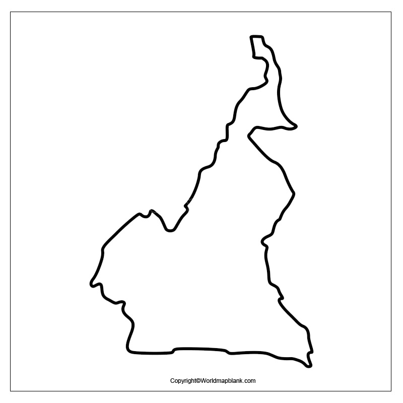
Printable Blank Map of Cameroon – Outline, Transparent map
The Blank Map of Cameroon is available for free download and can be printed out for classroom use, school or educational purpose. It can be used for coloring as well. Through the Cameroon map outline, it is possible to learn about this country located in Central Africa. Users of Cameroon Map Outline can learn about the country precisely from scratch.
- Blank Map of Tunisia
- Blank Map of Slovakia
- Blank Map of Singapore
- Blank Map of South Africa
- Blank Map of Armenia
- World map with longitude and latitude
- World map with continents
- Blank map of World
- labeled map of Asia
- Physical map of World
- Labeled map of Africa
- Blank Map of Egypt
- Labeled map of Europe
- World map poster
- World map with oceans
- World time zone map
- Labeled map of Antarctica
- Blank Map of Ethiopia
- Blank Map of Azerbaijan
- Labeled map of World
- Labeled map of South America
- Blank Map of Sudan
- Labeled map of North America
- Blank map of Asia
- Blank Map of France
- Blank Map of Armenia
- Political world map
- Blank Map of Finland
- Blank Map of Fiji
- Blank Map of Rwanda
- Blank Map of Russia
- Blank Map of Romania
- Blank Map of Guinea
- Blank Map of Guatemala
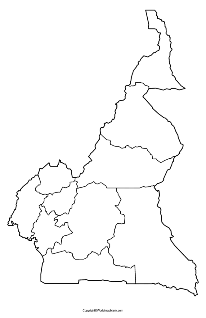
This template of Cameroon Map Outline offers all guidance to beginners so that the user does not make any error in the course of drawing the geography of Cameroon. This country is occasionally called by the name, ‘Africa in miniature,’ as it depicts features, like coastal plains, rainforest, savanna, desert, and mountains. All these features can be marked using various color configurations.
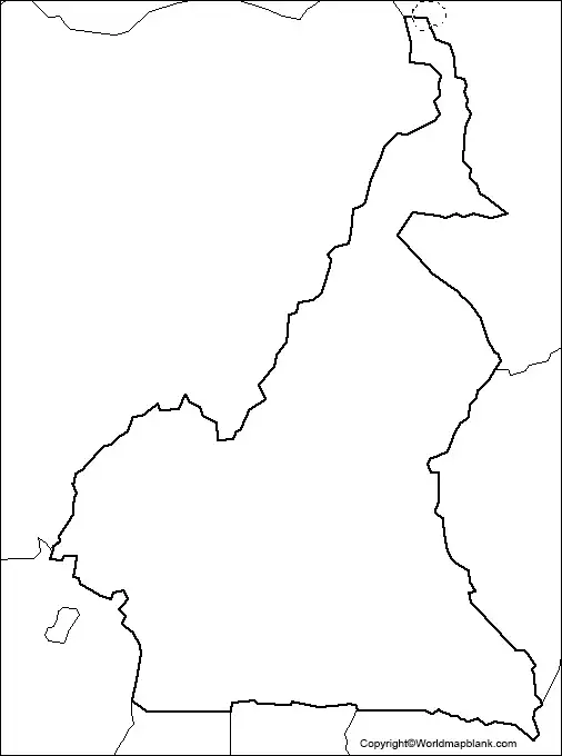
Blank Map of Cameroon – Outline
It is also possible to illustrate the country of Cameroon indicating low, coastal and marshy coastal areas, in the south. It is even possible to mark shores of Lake Chad in the extreme north. Major rivers of importance, like Dja, Nyong and Sanaga can be marked within the outline map of Cameroon.
Any user who intends to learn to draw the map of Cameroon for the first time should start it with a blank map of the country. This blank map of Cameroon outline offers him or her all the guidance to draw the outer boundaries structure of the country. Hence, by using this technique, any beginner can easily produce an accurate map outline of the country. From the Cameroon map outline, it is possible to ascertain the overall shape of the country. Hence, the user can portray or highlight the importance of the border by using an outlined map of Cameroon. In this regard, the user can check the availability of a decent blank template of Cameroon map outline from the web.
Printable Map of Cameroon
As a part of the printable map of Cameroon, it is possible for the users to access various types of Cameroon’s printable maps in several sizes. They will be able to choose from a variety of color options of these maps that are readily accessible for both personal as well as classroom study purposes. Template of the printable map of Cameroon is available on the web and can be printed out in a single click.
Transparent PNG Cameroon Map
Through the transport PNG Cameroon map, the users can gain complete knowledge about the country’s geographical objects. This is reflected in the form of a transparent view from the transparent map of Cameroon. All the user needs to do is to click on the map to view the particular region of geographical interest of Cameroon country in a transparent way.
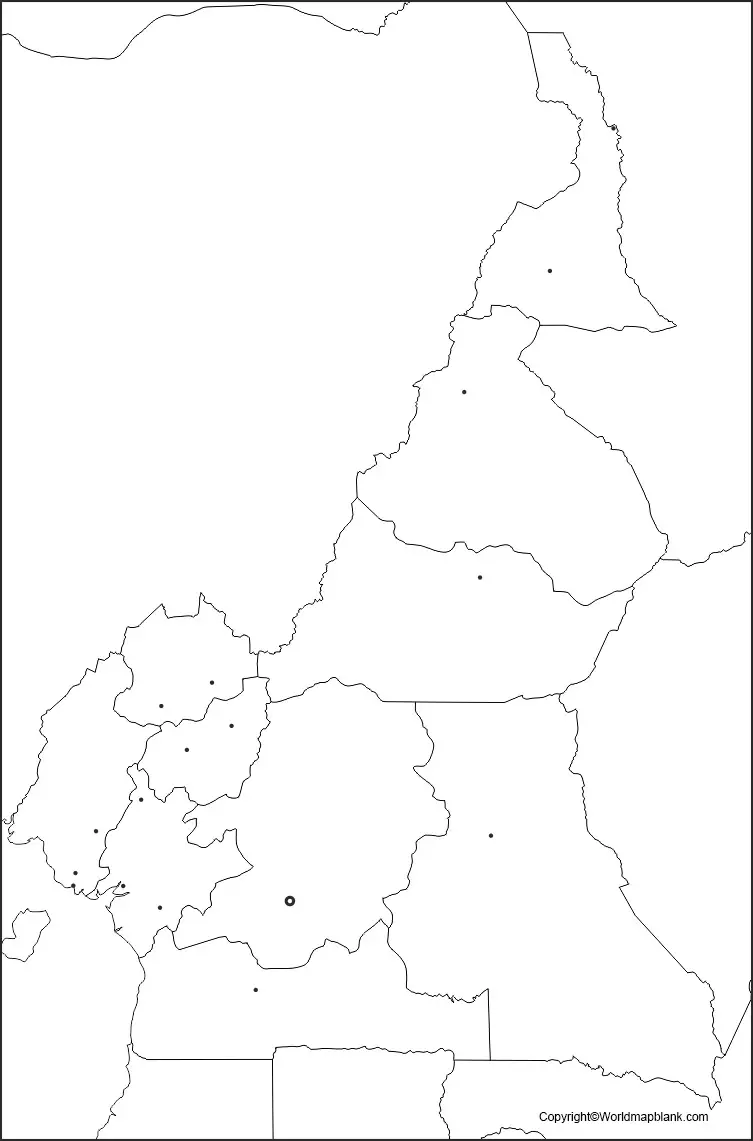
Map of Cameroon for Practice Worksheet
By using the map of Cameroon for the practice worksheet, it is possible for all the users to understand and learn about the geography of Cameroon. The well-designed worksheet can facilitate the users to adopt it in their regular practice of learning sessions. By doing this kind of exercise, they can readily augment their knowledge of geography through the practice worksheet.
Related Posts


