Printable Blank Map of Cabo Verde – Outline, Transparent map
The Blank Map of Cabo Verde will guide the user to draw the map of the country by using a simple approach. This map can be drawn accurately. Basically, a blank map of Cabo Verde shows the outer boundaries of the country including the overall shape of the Island. It helps the user to gain thorough knowledge about the configuration of the island. In this regard, it is essential for the user to check out a printable outline map of Cabo Verde on the web also.
- Blank Map of Tunisia
- Blank Map of Slovakia
- Blank Map of Singapore
- Blank Map of France
- Blank Map of Armenia
- World map with longitude and latitude
- Blank Map of Armenia
- World map with continents
- Blank map of World
- Labeled map of North America
- labeled map of Asia
- Physical map of World
- Labeled map of South America
- Labeled map of Africa
- Blank Map of Egypt
- Blank Map of Ethiopia
- Labeled map of Europe
- World map poster
- Labeled map of Antarctica
- World map with oceans
- World time zone map
- Blank Map of Azerbaijan
- Labeled Map of World
- Blank Map of Sudan
- Blank map of Asia
- Political Map of World
- Blank Map of Finland
- Blank Map of Fiji
- Blank Map of South Africa
- Blank Map of Rwanda
- Blank Map of Russia
- Blank Map of Romania
- Blank Map of Guinea
- Blank Map of Guatemala
Blank Map of Cabo Verde – Outline
This outline map of Cabo Verde is recognized as an African island nation. The islands remain scattered across an area of 4,033 square kilometers located in the Atlantic Ocean. Such an outline map of Cabo Verde islands is found useful for completing assignments in school, and homework assignments. The outline map of the country can be effectively used for travel planning. It also helps the user to perform many educational tasks. It can be used for coloring as well.
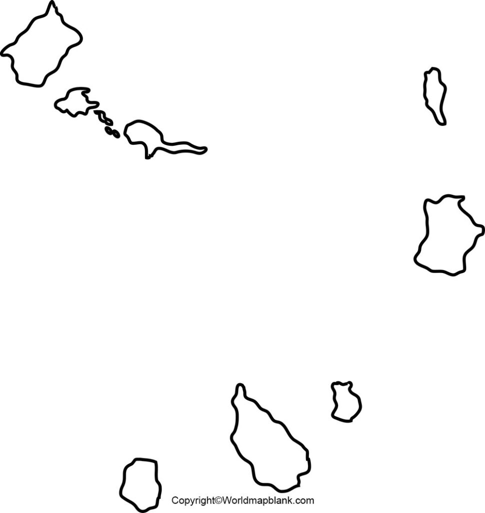
The Carbo Verde map outline reveals the user all the administrative boundaries of the territories of the country. Blank outline map of Cabo Verde islands is available in both online as well as offline versions. The offline map version of Cabo Verde is nothing but a printable outline map that can be used for solving and completing a variety of educational and research problems.
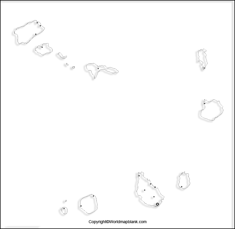
Printable Map of Cabo Verde

If the user is looking for a super quick view of Cabo Verde’s geography, then a printable map of the country is the best source of document available today on the web. A printable map of Cabo Verde can be easily accessible and usable. It can be printed in a hassle-free manner. Such a map is readily utilized effectively for any purpose. Irrespective of the type of school assignment that he or she is given, it can be used for exploration purpose.
Transparent PNG Cabo Verde Map
One of the best sources of understanding the diverse nature of Carbo Verde is to examine the transparent PNG map of the country. This transparent PNG Carbo Verde map will enable the user to view all the geographical features of the country in a realistic manner. Since, Carbo Verde is a cluster of islands, it is possible to visualize the natural landscape of the country, precisely. This type of transparent PNG Cabo Verde Map is recommended for the user who intends to perform detailed research tasks about the geography of the country.
Cabo Verde Map for Practice Worksheet
The usefulness of geographical knowledge of any region is important if it is properly tested. Hence, if the user wishes to verify or test his or her knowledge about the geography of the Carbo Verde islands, finding a practice work sheet is possible on the web. They are especially designed enabling the user to assess his or her knowledge about the geography of the country by answering all the questions from the practice worksheet prepared for that country.
Related Posts


