Printable Blank Map of Bangladesh – Outline, Transparent map
Users like students and researchers, can access a Blank Map of Bangladesh through which they can not only read the map, but customize it according to their requirements. This blank map of Bangladesh will provide an outer extract or layout of the country. On this map the user can draw or mark the internal geographical characteristic of the country. They can customize the map in accordance to their exact preferences, which enables them to learn the geography of the country.
- Blank Map of Sri Lanka
- Blank Map of Suriname
- Blank Map of Switzerland
- Blank Map of Syria
- Blank Map of Sweden
- Blank Map of Uganda
- Blank Map of Ukraine
- Blank Map of Tajikistan
- Blank Map of Venezuela
- Blank Map of Vanuatu
- Labeled Map of Asia
- Labeled Map of Europe
- Labeled Map of Africa
- Labeled Map of Antarctica
- Labeled Map of South America
- Labeled Map of North America
- Australia Labeled Map
- World Map With Continents
- Physical World Map
- Political World Map
- World Map with Oceans
- World Map Poster
- World Time Zone Map
- Labeled Map of World
- World Map with Longitude
- Blank Map of World
Blank Map of Bangladesh – Outline,
The country is a South Asian country mainly known as one of the important populated nations on the globe owing to its population density. The largest capital city of Bangladesh is Dhaka, in terms of economic growth and other aspects. Primarily, the country is dominated by Brahmaputra and Ganges delta, and Madhupur plateaus that reveals important geographical features of Bangladesh.
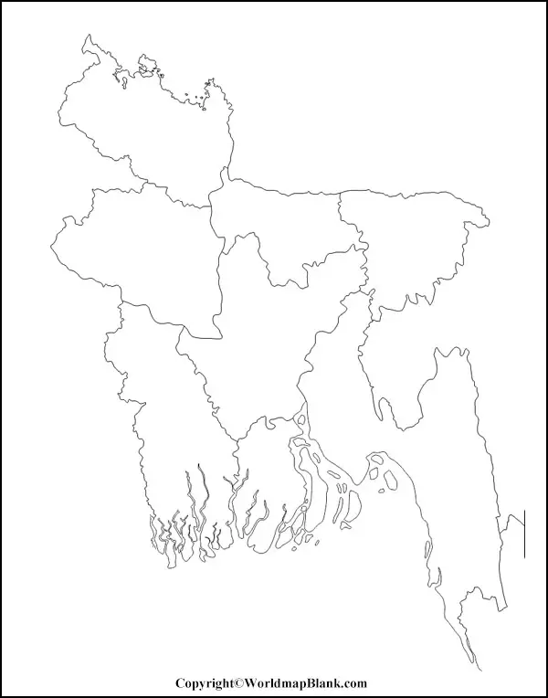
The major portion of the land area is fertile and plain, which makes the country to be recognized as agricultural domain nation. Beginners and kids who have started to learn the geography of Bangladesh, should try to refer to the outline map of Bangladesh. From the blank Bangladesh blank map outline, it is possible for the beginners and learners to find the basic outline of the country’s geography. By following the outline, it is possible to draw a complete map of Bangladesh with one hundred percent accuracy.
Printable Map of Bangladesh
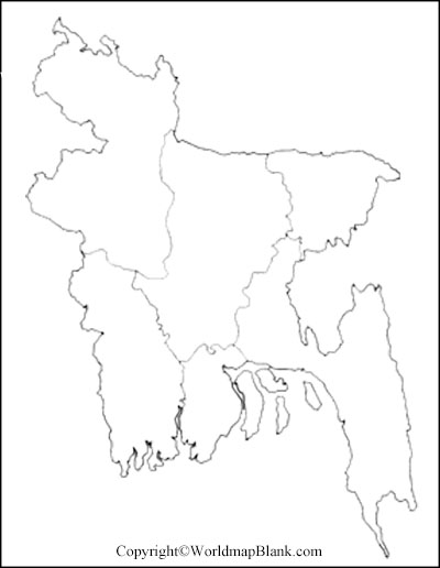
If the user intends to gain the geographical features of Bangladesh country, then he or she should check the availability of various categories of printable map of Bangladesh. The user should understand that a map is considered as the most significant source of getting to know about the geography of the country or even any local region. Similarly, if the user intends to gain the desired knowledge about the political or geographical boundaries of Bangladesh, he or she should access a full-fledged printable map of Bangladesh.
Transparent PNG Bangladesh Map
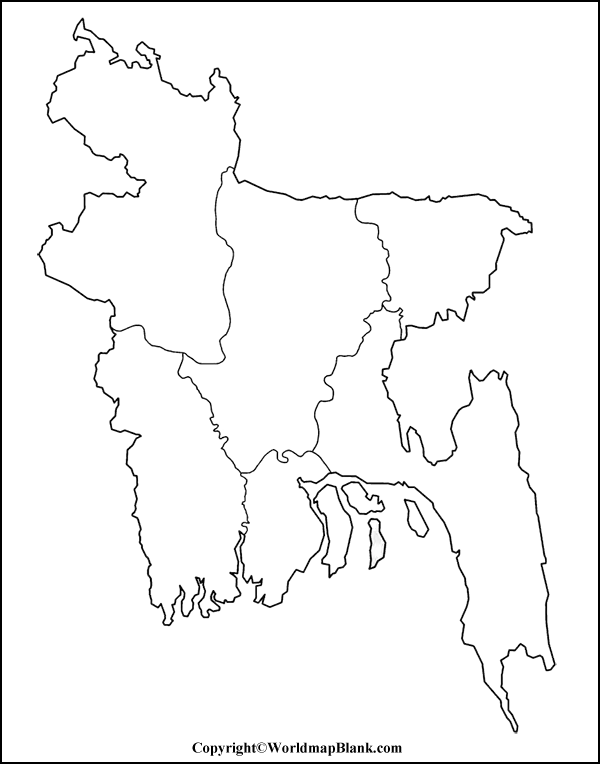
If the user is a student or researcher of Bangladesh’s geography and plans to study details of geographical features of the country, then he or she should arrange to check the transparent Bangladesh map in PNG format. Such maps are designed specially to meet the requirements of scholars or explorers who want to witness the transparent view of Bangladesh so that they can have a better exposure to its geographical structure. In the transparent PNG Bangladesh map, it is possible for the user to visualize even minute details of the country for their study and research purpose.
Blank Map of Bangladesh for Practice Worksheet
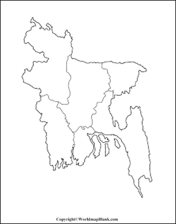
If the user has completed learning the detailed geography of Bangladesh, then he or she might intend to verify the accuracy of his or her geographical knowledge of Bangladesh. Hence, it is essential to possess a practice worksheet of the map of this country. This practice worksheet can be used by any scholar to verify his or her knowledge about Bangladesh’s geography by answering all the in-depth questions related to the physical structure of the country.
Related Posts


