South Africa Blank Map – Outline Map of South Africa [PDF]
Are you learning or teaching about South Africa? Or are you planning a trip? Then you will find five versions of a South Africa blank map on this page, each a little different in its detail and focus. An outline map of South Africa can be used to draw in landforms, rivers, ethnicities, spoken languages, and more. Or you can mark the places you have visited or will travel to. Also, a blank map of South Africa can be helpful for professional purposes.
All our maps are free to download or print directly from your browser. They are available as PDF files in A4 and A5 format.
If you want to teach or learn more about the African continent and its countries, try our Africa map worksheets!
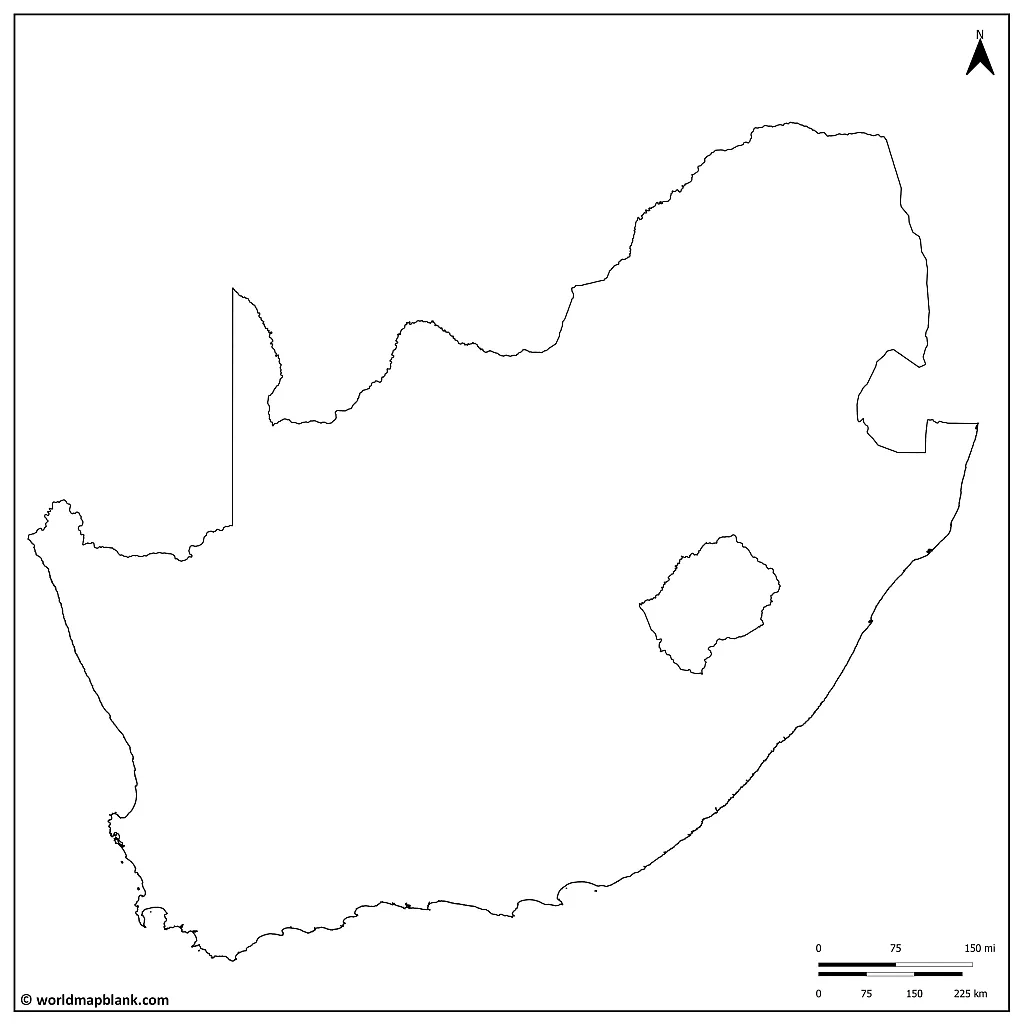
South Africa Outline Map
The Republic of South Africa covers a land area of 471,445 square miles (1,221,037 km²), which makes it the 9th biggest country on the African continent. It has a population of 61,4 million, the 6th largest in Africa (as of 2022).
The South Africans are a very diverse population. The country is home to many tribal ethnicities, each with its own cultural identity and language. There are 11 official languages spoken by the diversity of South Africa’s citizens.
Here is a list of the official languages in order of the percentage of speakers:
- Zulu – 22.7%
- Xhosa – 16%
- Afrikaans – 13.5%
- English – 9.6%
- Sepedi – 9.1%
- Setswana – 8%
- Sesotho – 7.6%
- Tsonga – 4.5%
- Swati – 2.5%
- Tshivenda – 2.4%
- Ndebele – 2.1%
In May 2023, South Africa adopted South African Sign Language as the country’s 12th official language.
Download as PDF (A4)
Download as PDF (A5)
The geography of South Africa is equally diverse. The country has 8 biomes, geographical regions, and many world-renowned landforms.
The Cradle of Humankind is a site where fossils have been found that have provided the world insight into the evolution of humanity.
Table Mountain is one of the oldest mountains in the world. It overlooks Cape Town and is considered one of the 7 wonders of the world.
The Vredefort crater is our planet’s most significant impact structure. Over 2 billion years ago, a meteor fell from the sky, creating this landform.
The Kalahari desert covers much of the western and central part of South Africa. This region’s wildlife comprises lions, leopards, cheetahs, hyenas, giraffes, zebras, and antelopes.
Activity idea: Use the above outline of the South Africa map to draw in the geographical features mentioned!
Where is South Africa on the World Map?
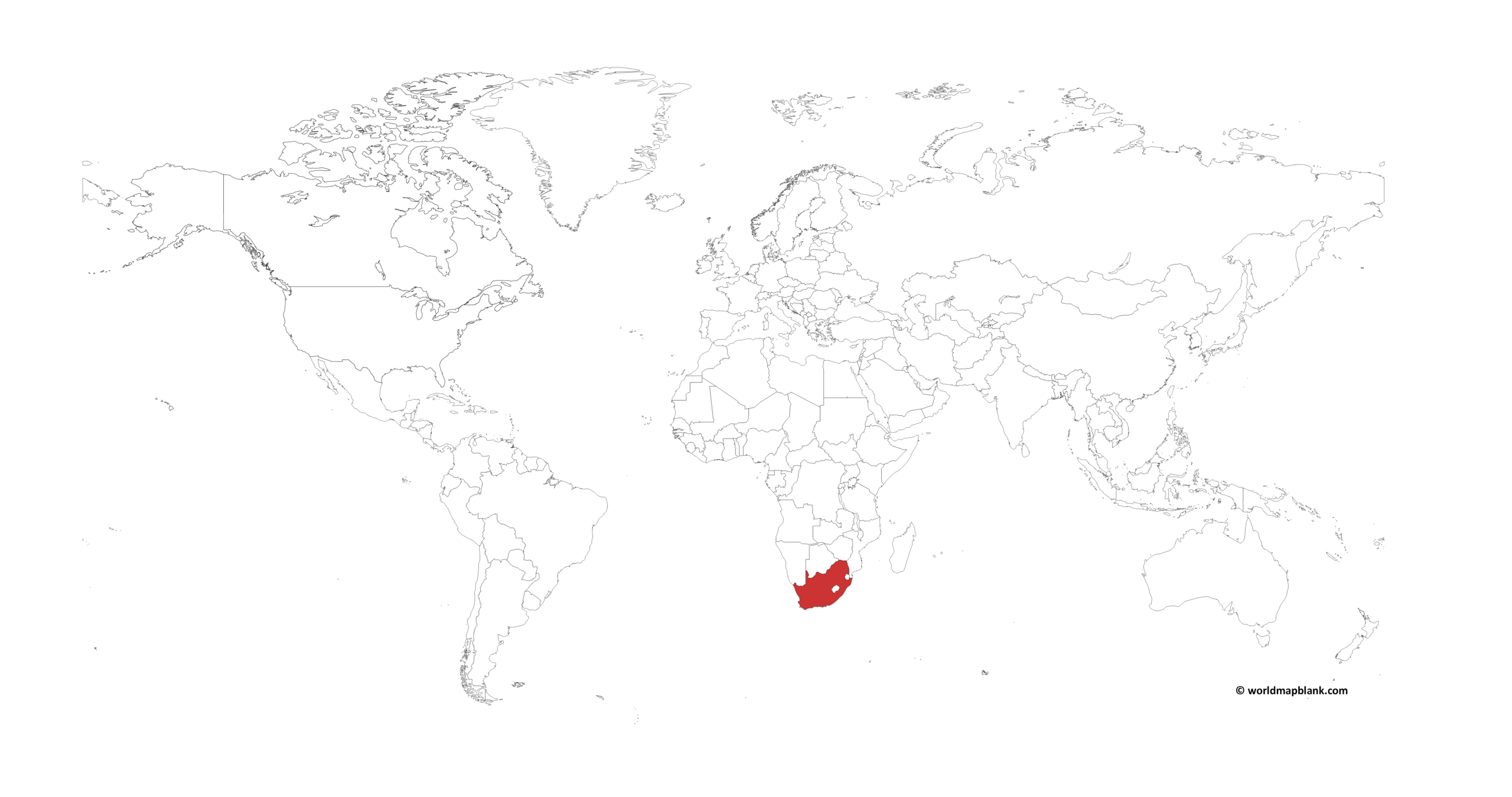
Our following map shows the location of South Africa on the world map. As the name suggests, the country is located at the southern tip of the African continent.
Download as PDF (A4)
Download as PDF (A5)
We created the above map with a tool called MapChart. If you need more resources for South Africa in this context, take a look at our blank map of Africa page. Additionally, we offer various versions of a labeled map of Africa.
Blank South Africa Map with 9 Provinces
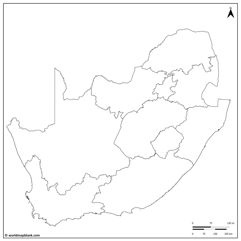
The administrative division of South Africa includes nine provinces. Gauteng is the smallest province, yet it comprises the largest share of the South African population (approx. 28%).
The South Africa we know today has had its internal lines drawn and redrawn several times before taking on the forms we see today. Before 1994, South Africa had only 4 provinces. In 1996, when South Africa established its new democratic constitution, the previous administrative divisions were dismantled, and the 9 provinces were made official.
Download as PDF (A4)
Download as PDF (A5)
Here is a list of South African provinces list, with the provinces ordered from biggest to smallest in terms of land area:
- Northern Cape
- Eastern Cape
- Free State
- KwaZulu-Natal
- Limpopo
- Mpumalanga
- North West
- Western Cape
- Gauteng
Activity idea: Use the above map of South Africa to learn about the provinces! Identify and label each province and shade each in a different color.
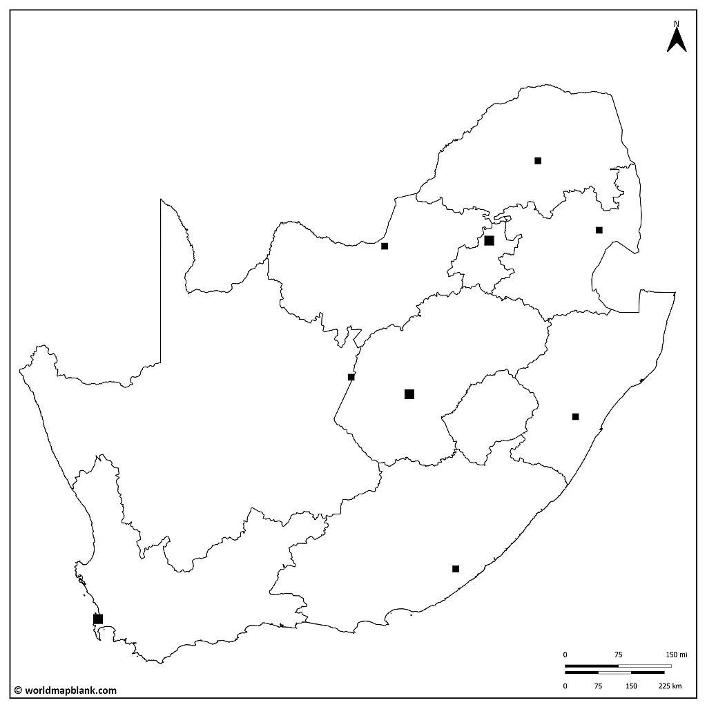
Blank Map of South Africa with Capitals
South Africa has three capital cities: Pretoria, Cape Town, and Bloemfontein.
Pretoria is the administrative capital of the country. With the executive branch of government, including the President’s office, Cabinet offices, and various government departments.
Cape Town is the legislative capital of the country. Here are the National Assembly and the Senate (the National Council of Provinces).
Bloemfontein is the country’s judicial capital, where the Supreme Court of Appeal is located.
Download as PDF (A4)
Download as PDF (A5)
The reason for having three capitals is rooted in South Africa’s history.
When the Union of South Africa was established in 1910, the country had two British colonies (Cape Colony and Natal) and two Boer republics (Orange Free State and Transvaal). To satisfy the various political interests of the time, it was decided to have three capital cities, each representing one of the former colonies and one of the former republics. This arrangement has continued to this day.
Activity idea: Use the above blank map of South African provinces with capitals further to explore the geography and history of the country. Identify and label the provinces and the means. Are you able to memorize the location of all the important cities?
Extra challenge: Can you shade in the map to represent the historical divisions?
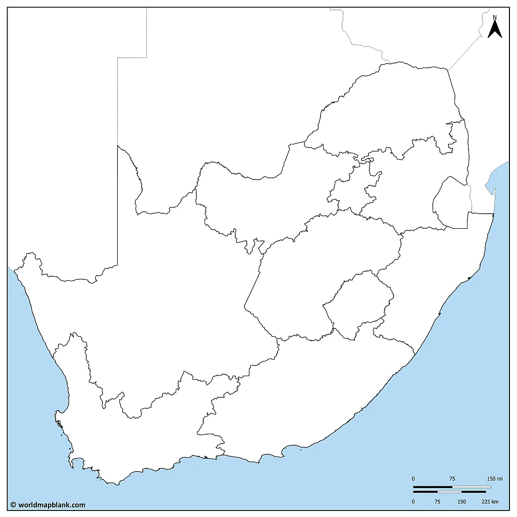
Map Outline of South Africa with Neighboring Countries
The countries bordering South Africa are the following:
- Namibia – to the northwest
- Botswana – to the north
- Zimbabwe – to the northeast
- Mozambique – to the northeast
- Eswatini (Swaziland) – to the east
The Kingdom of Lesotho is an independent country surrounded by South Africa. It shares borders with the Free State and KwaZulu-Natal provinces. Much of South Africa’s drinking water comes from the snowmelt of this tiny mountain kingdom.
South Africa is bordered by two oceans: the Atlantic Ocean to the west and the Indian Ocean to the east. The two oceans meet at Cape Agulhas, the continent’s southernmost point.
Download as PDF (A4)
Download as PDF (A5)
South Africa is part of the Southern African Development Community (SADC). As an intergovernmental organization, the SADC promotes regional integration and development in the countries near South Africa. South Africa has worked closely with its neighbors through the SADC on issues such as trade, infrastructure development, peace, and security.
Activity idea: Use the above empty map of South Africa to learn and teach about the region surrounding the country. Identify and label the neighboring countries and bodies of water. Shade each in a different color.
For more visuals about the oceans around South Africa, see our world map with seas.
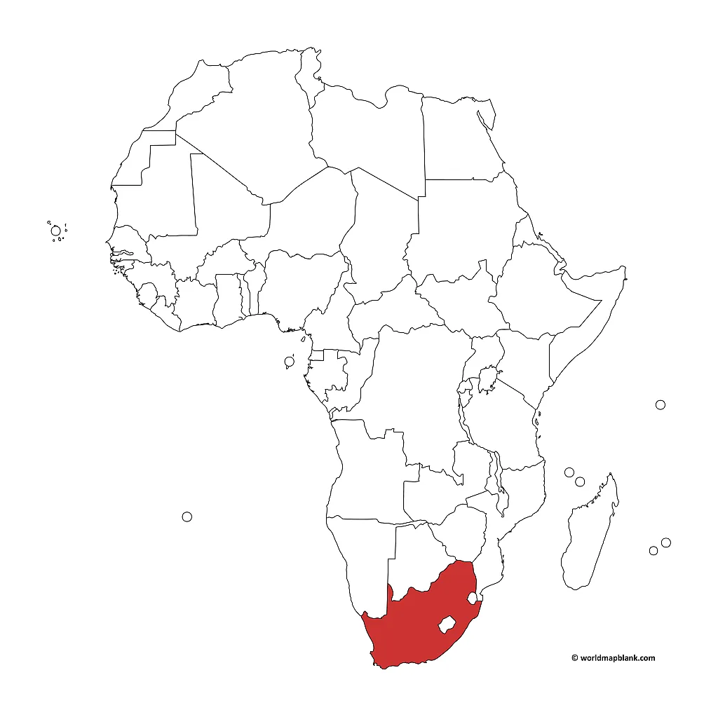
Where is South Africa on the Map of Africa?
Here is another map that shows where South Africa is located on a map. It can be used as an alternative map to learn about the neighboring countries of South Africa.
Download as PDF (A4)
Download as PDF (A5)
This map was created with MapChart as well. The names of the neighboring countries of South Africa can be found on our political map of Africa.
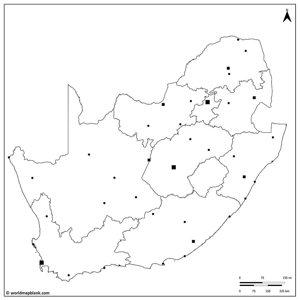
Blank Map of South Africa with Cities
Johannesburg is the largest city in the country and is located in the Gauteng province, the smallest province of South Africa. The city is known for its history of gold mining. It was founded in the 1800s as a gold mining town and has become one of the world’s biggest producers.
Johannesburg played a significant role in the apartheid system in South Africa. Under apartheid, the government designated certain areas as “white” and others as “non-white,” and Johannesburg was one of the cities where this segregation was enforced.
Non-white residents were forced to live in separate townships outside the city and were subjected to numerous restrictions on their movements and daily lives. The city also became a center of resistance to apartheid, with many activists and political organizations based there. It was the site of numerous protests and acts of civil disobedience against the government’s policies.
Download as PDF (A4)
Download as PDF (A5)
The following are names of towns in South Africa. They are divided into language groups, yet it is important to consider that many cities and towns of South Africa are multilingual.
Group 1: English and Afrikaans dominant cities
- Johannesburg
- Pretoria/Tshwane
- Cape Town
- Durban
- Port Elizabeth
Group 2: Zulu and Xhosa dominant cities
- Pietermaritzburg
- Richards Bay
- East London
- Port Shepstone
- Queenstown
- Umtata/Mthatha
Group 3: Sotho and Tswana dominant cities
- Bloemfontein
- Kimberley
- Mafikeng
- Rustenburg
Activity idea: Use the above map of South Africa without names to learn about the main cities of the Republic. Identify and label the cities marked on the map. Shade in the map according to the language groups spoken in specific regions, using the information given above.
More Free Maps for Download
Did you find what you were looking for? If you need more maps of Africa or the world, take a few minutes and explore our site further. All of the maps on our website are in PDF and are free to download or print.
If there is a specific map you would like but cannot find, do write to us! We are continuously updating our library and site content. We can even create a particular map for you for free.
Africa Maps
Europe Maps
- Blank Map of Europe
- Political Map of Europe
- Labeled Map of Europe
- Physical Map of Europe
- EU Map Labeled
Asia Maps
North America Maps
- Blank Map of Canada
- United States Highways Map
- USA Map with States and Capitals
- Blank Map of Mexico
- Blank USA Map

