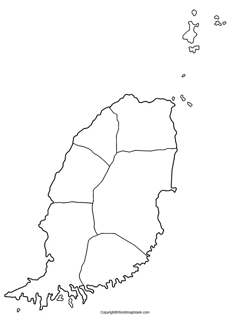
Printable Blank Map of Grenada – Outline Transparent PNG map
Grenada is an island nation which is shown in a Blank Map of Grenada. This nation is situated in the Caribbean Sea. The blank map of Grenada can be downloaded, printed and used for educational purposes, like map drawing activities and coloring. From the outline map of Grenada, it can be seen that the islands are considered to be of volcanic origin.
- Blank Map of Nicaragua
- Blank Map of Grenada
- Blank Map of Greece
- Blank Map of Ghana
- Blank Map of Canada
- Blank Map of Armenia
- World map with longitude and latitude
- World map with continents
- Blank map of World
- labeled map of Asia
- Physical map of World
- Labeled map of Africa
- Blank Map of Egypt
- Blank Map of Armenia
- Political world map
- Blank Map of Finland
- Blank Map of Fiji
- Labeled map of Europe
- World map poster
- World map with oceans
- World time zone map
- Labeled map of Antarctica
- Blank Map of Ethiopia
- Blank Map of Azerbaijan
- Labeled map of World
- Labeled map of South America
- Blank Map of Sudan
- Labeled map of North America
- Blank map of Asia
- Blank Map of France
- Blank Map of Georgia
- Blank Map of Czechia
- Blank Map of Germany
- Blank Map of Colombia
- Blank Map of Cyprus
Blank Map of Grenada – Outline
The shape of Grenada is oval comprising mainly of mountainous terrain. Grenada is recognized as a sovereign country consisting of the island of Grenada itself, including two smaller islands. They are Petite Martinique and Carriacou and several small islands, which lie to the north of the main island. The size of Grenada is approximately 348.5 square kilometers, and the estimated population is 112,523 as recorded in July 2020. The capital city of Grenada is St. George, which is also known as, the Island of Spice, owing to its production of nutmeg and mace crops.
The outline map of Grenada is found to be very useful for the user to test his or her knowledge in Geography. Unlimited individual copies of such an outline map of Grenada can be printed by teachers to test students on the location labeling, to draw symbols or terrain elements. Besides, students can also perform research so that they can find the names of the correct places and add them to the map. This will help them to gain familiarity with new locations. Using such an outline map of Grenada can be considered as an effective in-class activity or homework assignment.
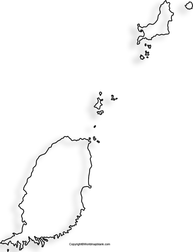
Printable Map of Grenada
If the user has no time to draw the map of Grenada, he or she should go for a printable map of Grenada. Getting a printable map of Grenada from the web is a good method, wherein the user can access to a readily available printable map of the country. The user can print the map from the web through a single click to use for school assignment. From this map, it is possible for the user to explore the political boundaries of Grenada islands.
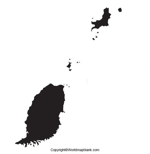
Transparent PNG Grenada Map
Many users can have this specially designed transparent PNG Grenada map. From the map, it is possible for the user to gain in-depth knowledge and understand realistic view of the country’s terrain. Grenada is filled with several islands and mountains. These objects can be visualized from the transparent PNG Grenada map, perfectly. Hence, maximum clarity of all the objects lying on the surface of Grenada can be viewed through this transparent PNG Grenada map.
Map of Grenada for Practice Worksheet
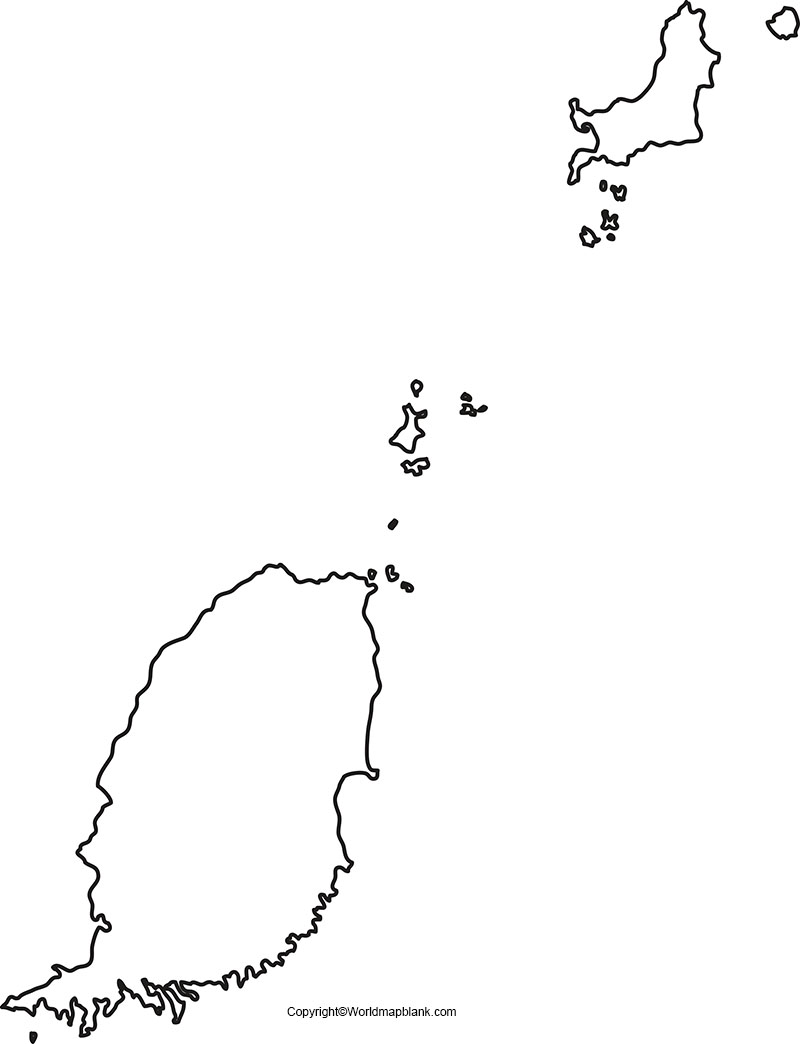
If the user has to face any examination regarding the geography of Grenada and intend to prepare for the exam in the best possible way, he or she should gain access to a set of the practical worksheet of Grenada island map. By using this worksheet that consists of questions on Grenada’s geography, he or she can practice and use it as a test paper at home or in school.
Related Posts


