Blank UK Map – UK Map Outline [PDF]
On this blank UK map page, we offer six different blank maps of the UK. Each map has unique features that complement a particular learning outcome. For example, the empty UK map outline is ideal for drawing in geographic features like the main rivers, mountain ranges, and lakes.
The maps are available in A4 and A5 PDF formats and can be downloaded or printed directly from your browser. With so many maps to choose from, you will definitely find the best UK blank map for your geography activity!
Also, please take a look at our ready-made UK map worksheets that will make lesson planning much easier! We offer a ready-made PDF file for immediate printing and a customizable Canva version.
UK Map Outline
Officially known as the United Kingdom of Great Britain and Northern Ireland, the UK comprises four countries: England, Scotland, Wales, and Northern Ireland. It covers an area of 93,630 square miles (242,500 km2) and has a population of over 68 million (as of 2023).
The UK makes up much of the over 6,000 British Isles, approx. 140 of which are populated. Great Britain is the largest of these islands. English is the official language of the United Kingdom. Apart from English, Gaelic is also a recognized official language in Scotland and Welsh in Wales.
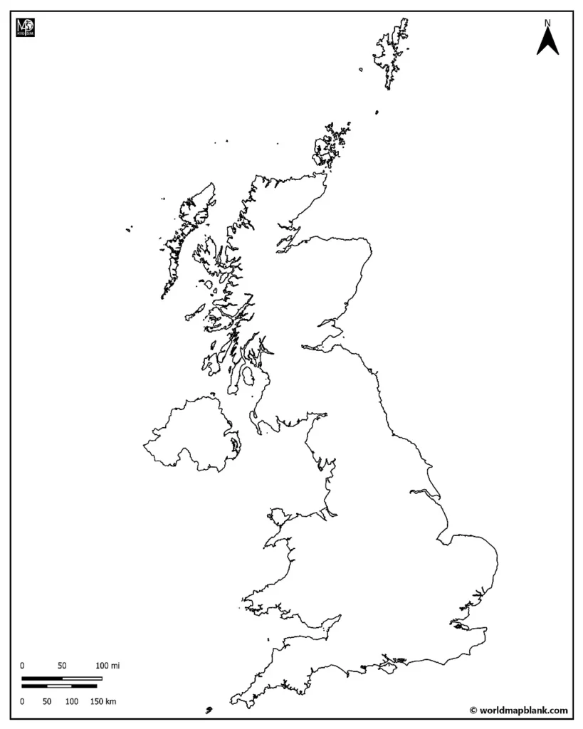
Our first United Kingdom blank map only shows the outer boundaries of the countries belonging to the UK. Use it for drawing in the borders between the UK countries, rivers, languages, mountain ranges, or other features. Other maps further down also include borders, capital, and cities so that they can be used for more specific learning activities.
Click on the links below each image for a free download of the relevant A4 or A5 size maps.
Download as PDF (A4)
Download as PDF (A5)
The United Kingdom is composed of the main island of Britain, which comprises England, Scotland, and Wales. Additionally, the UK includes Northern Ireland to the west.
Interesting facts: The UK has four different maritime boundaries; that is to say, four different bodies of water border it:
- in the south by the English Channel, which separates it from continental Europe
- in the east by the North Sea
- in the west by the Irish Sea
- further to the west and south-west by the Atlantic Ocean
Activity Idea: Can you identify the bodies mentioned above of water? Label the seas and oceans that border the UK on this blank map of the British Isles.
Extra Challenge: Research the scope of the British Isles. Can you draw it into the map as well?
Blank UK Map
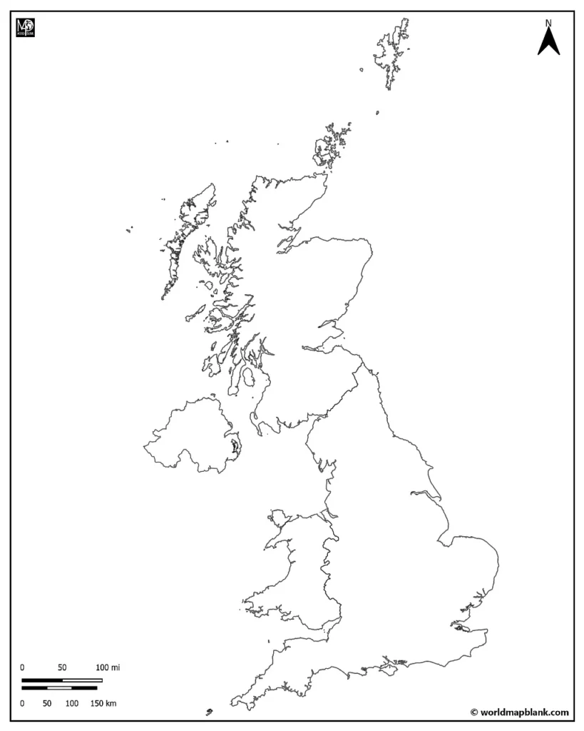
The geography of the United Kingdom developed some 20,000 years ago during the Ice Age. Scotland and Wales are mountainous, with sharp ridges and deep valleys. Glaciers were covering the land mass, and when they melted, they left behind thousands of lakes. The largest of these freshwater lakes is found in Northern Ireland, Lough Neagh (pronounced “lock nee”).
Britain used to be covered in thick forests, but the woods were cleared away for agricultural and residential use over time. Today, only 13% of the land is forested. The UK’s land is very populated, with little wildlife and wilderness left. The Scottish Highlands are the region of the United Kingdom that is the least impacted by human development.
Even though there is a low percentage of virgin land in the UK, it is doing its part to care for the environment. According to the Environmental Performance Index, the UK rates fourth out of 180 countries regarding sustainability goals and achievements.
Download as PDF (A4)
Download as PDF (A5)
Most of the UK has a temperate climate, with cool temperatures and consistent yearly rainfall. The northernmost inland region of the UK is affected by a subpolar oceanic climate. The highest elevations of Scotland can experience a continental subarctic climate.
Between these climate zones, you will find four different ecoregions: the Celtic broadleaf forests, English Lowlands beech forests, North Atlantic moist mixed forests, and Caledon conifer forests.
Activity Idea: Can you identify the climate and ecoregions on this blank map of the United Kingdom? Create a legend explaining your shading system, and color the map accordingly!
United Kingdom on the Map
Where is the United Kingdom on a world map? It is located on the western coast off of the mainland of continental Europe, in the northern hemisphere. Greenwich, England, is 0 degrees longitude between the Eastern and Western Hemispheres. It is the dividing point between the two hemispheres.
The UK straddles the Prime Meridian of the world! Every place on earth is measured in relation to its angle east or west from this line. In 1884, the Prime Meridian was established and has since served as the reference point for Greenwich Mean Time (GMT).
The UK follows one standard time zone and has two times in the year: Coordinated Universal Time (UTC) and British Summer Time (UTC+1). The UTC is the successor to the Greenwich Mean Time (GMT), which was first used by the British railway system. It was known back then as Railway Time, and it was instilled to organize the scheduling of trains. The timing was essential to synchronize to avoid collisions and ensure passengers departed on schedule. This Railway time was adopted in 1840 as the standard time of the UK.
Download as PDF (A4)
Download as PDF (A5)
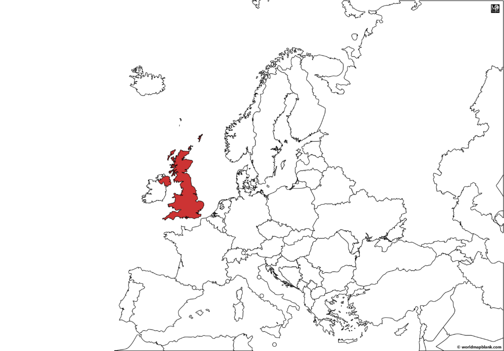
This above blank outline map of the UK was created with MapChart. It features the United Kingdom and its neighboring countries on a map of Europe. Further below, you will find a map of the UK on a world map.
Historically, the UK was a colonizing force, leaving its mark all over the globe. Its influence is seen in its former colonies, such as the modern-day countries of India, Australia, Canada, and South Africa.
The UK was the first industrialized country in the world. Today, it is still a powerhouse, having the 6th largest GDP. The United Kingdom’s main exports are oil, iron, and steel products. The British also manufacture automotive and airplane parts and export crops like barley, wheat, and potatoes.
Interesting Fact: The Greenwich Meridian passes through eight countries. From north to south, these are England, France, Spain, Algeria, Mali, Burkina Faso, Togo, and Ghana.
Activity Idea: Use this blank map of the United Kingdom to teach about the longitudinal and latitudinal lines in mapping. Referring to the above information about the Prime Meridian, color in the countries that fall precisely on 0 degrees longitude.
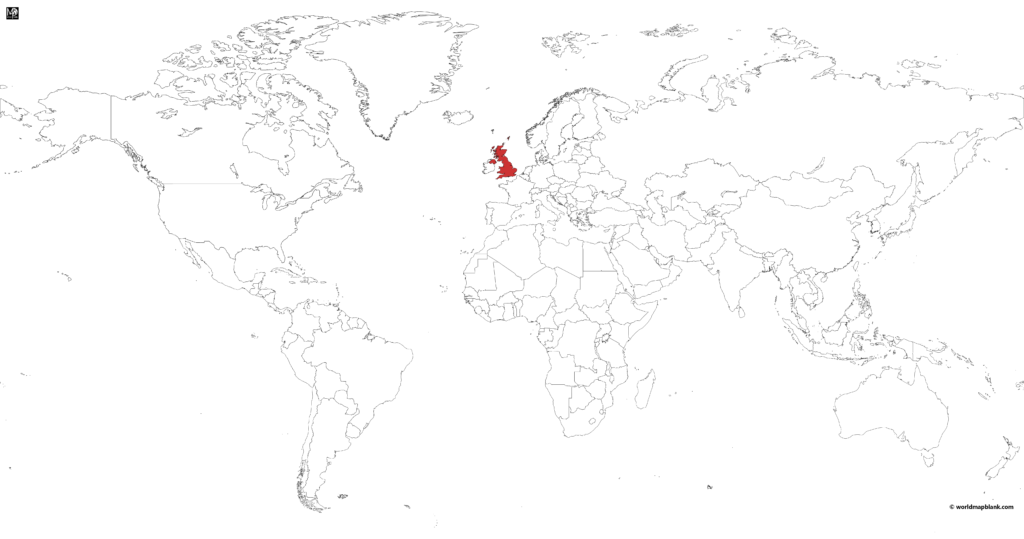
UK on World Map
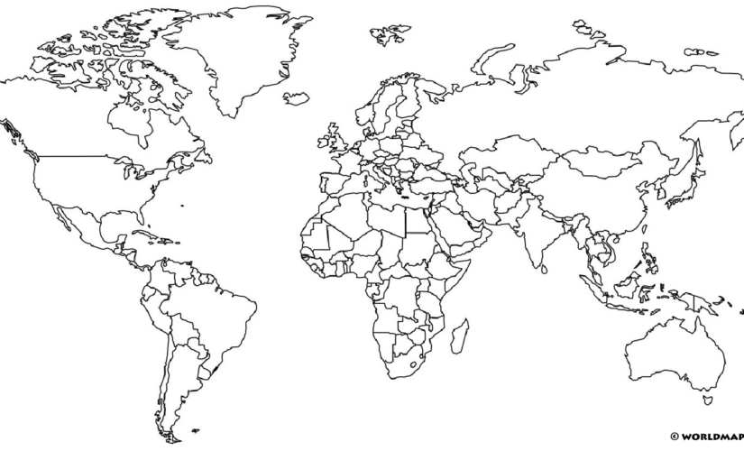
Here is another MapChart map showing the UK on the world map. Did you know that it was so small in comparison to other countries?
Download as PDF (A4)
Download as PDF (A5)
Further below, several other blank UK maps await you.
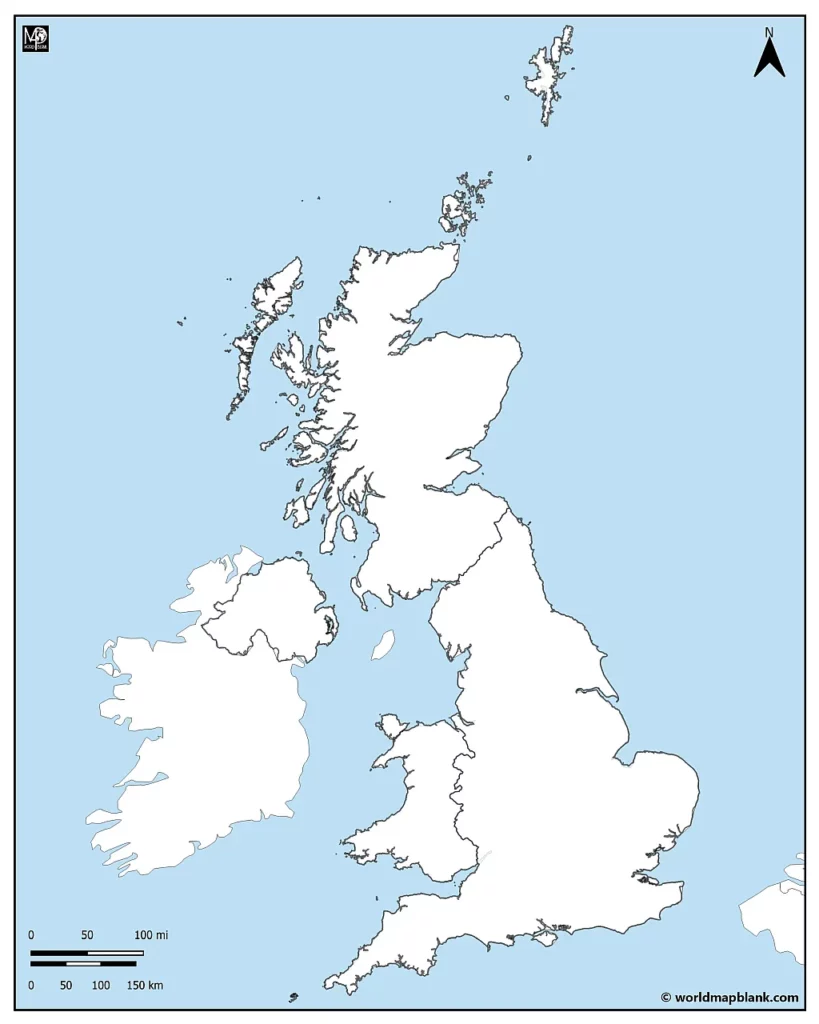
Blank Map of the UK and Ireland
In 1801, the title “United Kingdom” was born to reflect the union of the kingdoms of Great Britain and Ireland. Today, the UK is a constitutional monarchy. This means that the king or queen is the head of state. However, they do not have any significant political power. The UK is considered a parliamentary democracy. The prime minister is the appointed head of the government, and it is through the parliament that the country’s laws are passed.
Download as PDF (A4)
Download as PDF (A5)
There are 14 overseas territories and 3 Crown Dependencies that join with the UK to form the “one undivided realm” of the British Empire.
The difference between the territories and the dependencies is that the dependencies are considered properties of the UK, and it is the responsibility of the United Kingdom to administer the affairs of these territories.
In 1999, a government document was written stating: “The overseas territories are British for as long as they wish to remain British.”
The UK, its overseas territories, and crown dependencies belong to the Commonwealth. As of 2023, there are 15 realms that belong to this international organization of 52 countries, of which 56 were formerly part of the British Empire.
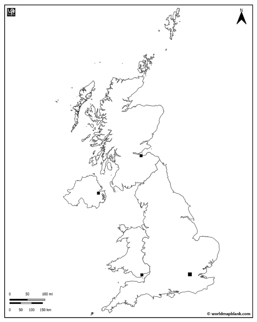
Blank Map of the UK with Capitals
The administrative divisions of the United Kingdom predate the establishment of the UK itself. There have been developments over time in these systems, yet what remains consistent is that each country has its own system of government on regional and local levels.
- Scotland – 32 Council Areas
- Wales – 22 Unitary Authorities
- Ireland – 26 District Councils
- England – 27 Administrative Counties
Scotland, Wales, and Ireland each have their own government led by a first minister and a devolved unicameral legislature. England does not have a first minister or a devolved unicameral legislature; it is administered directly by the parliament on all issues.
Below is a list of the capitals of the four countries and their populations (as of 2023):
- Edinburgh (Scotland): 554,000
- Cardiff (Wales): 488,000
- Belfast (Northern Ireland): 643,000
- London (England): 9,648,000
Download as PDF (A4)
Download as PDF (A5)
Activity Idea: Use this outline map of the UK and Ireland to learn about the distribution and density of the population. Have you ever made a population density map? Shade in the map from darkest to lightest according to the most populated areas.
Extra Challenge: Mark the largest cities with a special symbol.
Remember to make a legend that corresponds with your shading!
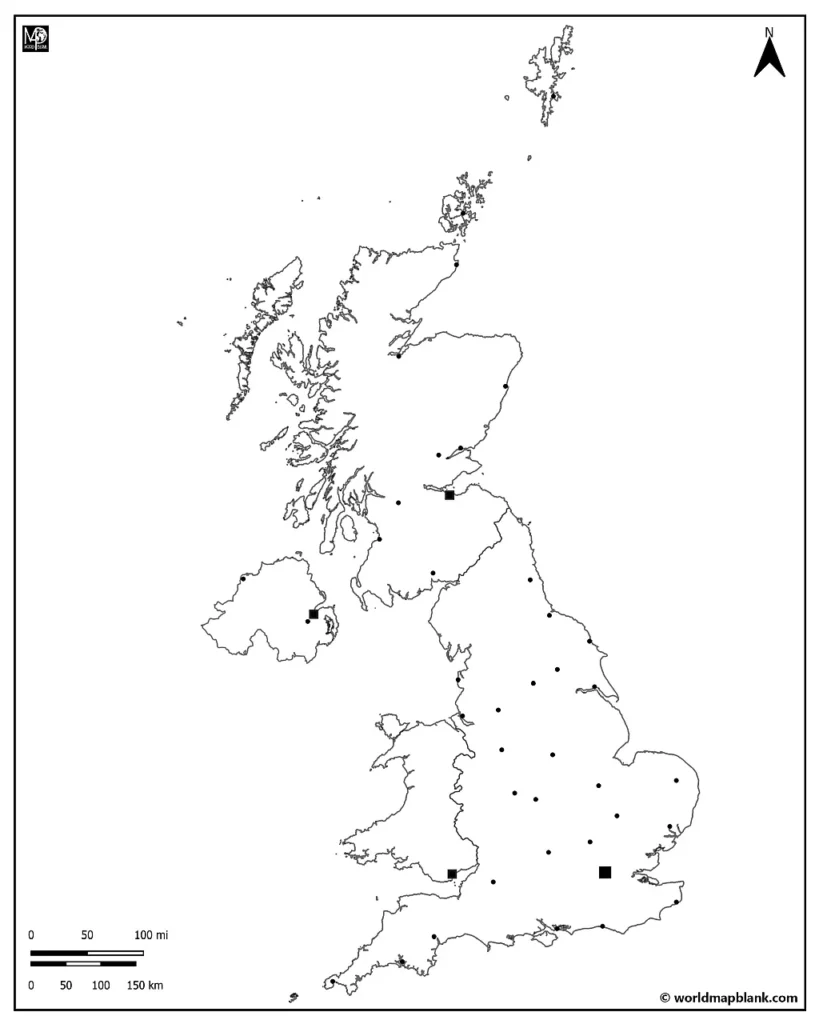
UK Outline Map with Cities
On the 31st of January 2020, the United Kingdom left the European Union. Freedom to work and live between the UK and the EU ended under its previous terms. Nowadays, UK nationals need a visa if they wish to stay beyond 90 days in any EU country.
By the way, we also offer several versions of a map of the EU, including timeline maps of the different stages in its history!
The UK decided to leave the European Union for several reasons. It was a combination of a rise in nationalism, questions about immigration, political autonomy, and the economy. In particular, the UK wanted complete sovereignty in their trade policy: deciding who, how, and what they would trade with other countries. Nicknamed “Brexit”, the exit of Britain from the EU was a pivotal decision not only for the United Kingdom but also for the entire European continent.
Download as PDF (A4)
Download as PDF (A5)
Here’s a list of some of the most important cities in the UK, sorted in alphabetical order with their respective countries:
- Belfast – Northern Ireland
- Birmingham – England
- Bristol – England
- Cardiff – Wales
- Edinburgh – Scotland
- Glasgow – Scotland
- Leeds – England
- Liverpool – England
- London – England
- Manchester – England
- Newcastle – England
- Nottingham – England
- Oxford – England
- Sheffield – England
- Swansea – Wales
Other cities and towns marked on the map include:
- Northern Ireland: Londonderry (Derry), Lisburn
- Scotland: Aberdeen, Dundee, Perth, Dumfries, Ayr, Inverness, Kirkwall, Wick
- England: Middleborough, Scarborough, York, Leeds, Kingston upon Hull, Blackpool, Stoke, Coventry, Peterborough, Cambridge, Norwich, Ipswich, Luton, Bath, Brighton, Dover, Portsmouth, Plymouth, Exeter, Penzance, Brighton
- Wales: n/a
Activity Idea: First, locate each city on the blank map of the UK with major cities and label its location.
Extra Challenge: Next, can you find out one thing each of the cities mentioned above is famous for? Make a list of these exciting facts to accompany the cities, and see if you can make up a symbol to represent each. Draw the symbol on the map!
Printable Simple UK Map
The following simple UK map outline might be helpful when you do not need a lot of details or if accuracy is not very important.
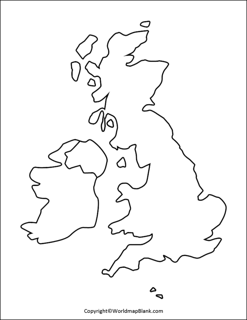
The UK outline maps above and below are some of our older maps and have been on the site for quite a while already. We will keep them online anyway, even if we now offer much more detailed blank maps of the UK.
Blank UK Map with Counties
Here is a blank UK counties map also showing parts of continental Europe on the other side of the English channel: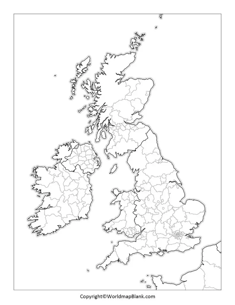
Please check in later to find more detailed UK blank maps and similar maps of the single countries belonging to the United Kingdom. We regularly update our site, providing an increasing number of free and printable PDF maps.
Other Free Maps to Download
Have you found what you were looking for? This UK map page featured our selection of blank maps. We also have labeled UK maps available and other maps that show the United Kingdom on a world map. Additionally, our site offers many other interesting and useful continent and country maps. Please take a few minutes and browse through them, and remember they are all free to download or print!
Additionally, we also offer ready-made map worksheets in our shop.
Country Maps
- Blank Map of Ireland
- Map of Ireland with Counties
- Blank Map of France
- France Regions Map
- Germany Outline Map
- Map of Germany with States
- USA Map
- Blank Map of the United States
- Canada Map
- Blank Map of Canada
Continent Maps
- Political Europe Map
- Blank Map of Europe
- Africa Map Political
- Blank Africa Map
- Asia Map with Countries
- Blank Asia Map
- Australia Map with States
- Blank Australia Map
World Maps
- Blank World Map
- World Map with Oceans
- Kids World Map
- Political World Map
- World Map with Latitudes and Longitudes
With maps created by:
Edelweise Shane Angeles is a skilled GIS Analyst and Cartographer from Davao City, Philippines. Holding a Bachelor's in Geology and Earth Science, he specializes in creating practical, clear maps using tools like Global Mapper, ArcGIS, ArcMap, and Google Earth Pro. Edelweise creates both blank and labelled maps for World Map Blank.


