Ireland Blank Map – Outline Map of Ireland [PDF]
Download here an Ireland blank map or an outline map of Ireland for free in PDF format. You can print out any Ireland map blank from this page in unlimited numbers for your educational, professional, or personal needs. All of the maps offered here are available in A4 and A5 formats.
A blank map of Ireland can be used to learn about the administrative divisions of the country, the location of cities and towns, as well as other geographical features.or an optimal learning experience and success, combine any of the maps from this page with a labeled map of Ireland with counties and towns.
Also, check out our customizable geography worksheets with ready-made and interactive learning activities.
Outline Map of Ireland
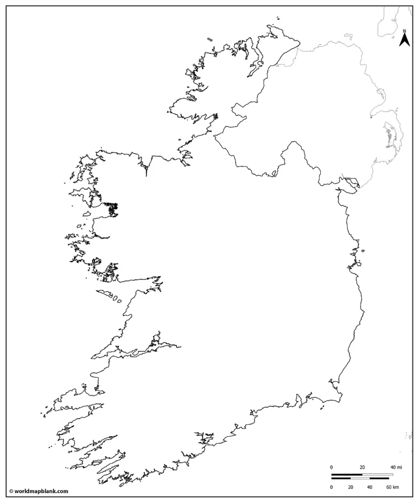
Our first map is an Ireland outline map showing the outer boundaries of the Republic of Ireland. Additionally, the shape of Northern Ireland is included to complete the island of Ireland.
Download as PDF (A4)
Download as PDF (A5)
You can use this map to familiarize yourself with the outline of Ireland and draw geographical features into the map. These could be cities, towns, rivers, lakes, county borders, etc.
Ireland Map Blank
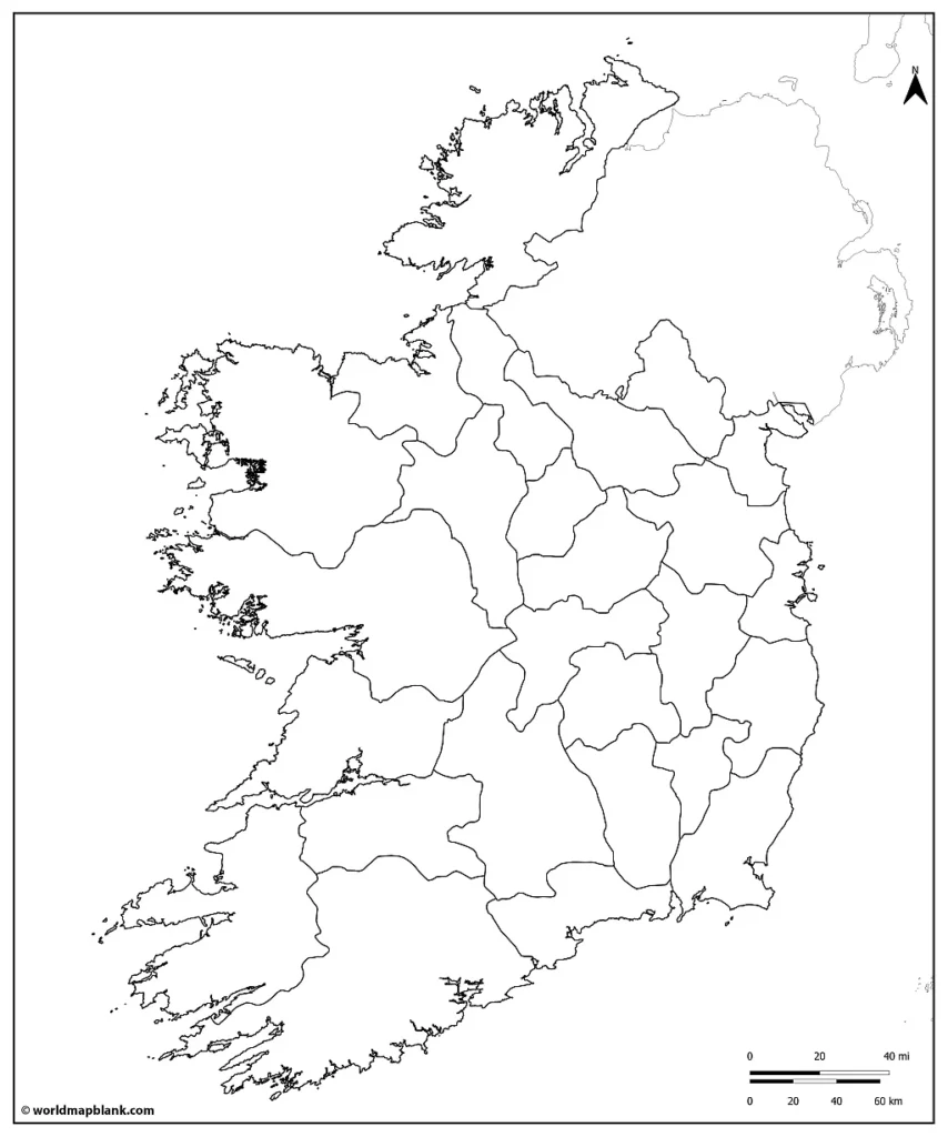
Our following map is a printable blank map of Ireland with all the internal county borders. It also includes the outline of Northern Ireland.
If you are interested in Ireland in the European context, check out our timeline map of the European Union (or any other EU map from our collection).
Download as PDF (A4)
Download as PDF (A5)
Use the above map to learn and memorize the county names of the Republic of Ireland. If you need a reference map, take a look at our Ireland map with counties labeled.
In alphabetical order, the Irish counties, cities and cities with counties are Carlow, Cavan, Clare, Cork, Cork City, Donegal, Dublin City, Dún Laoghaire-Rathdown, Fingal, Galway, Galway City, Kerry, Kildare, Kilkenny, Laois, Leitrim, Limerick, Longford, Louth, Mayo, Meath, Monaghan, Offaly, Roscommon, Sligo, South Dublin, Tipperary, Waterford, Westmeath, Wexford and Wicklow.
Blank Map of Ireland
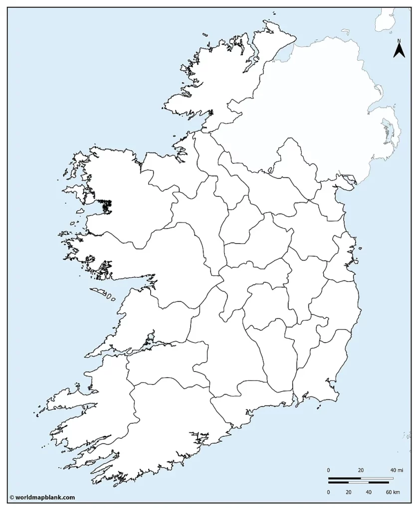
The following map is similar to the one above, but it also includes the water body of the Atlantic Ocean around the island of Ireland. If you need a related resource for the world’s oceans, try out our world map with seas.
Download as PDF (A4)
Download as PDF (A5)
In this map, you or your students can additionally label the Irish Sea, the North Channel, the Celtic Sea, and St. George’s Channel, which separate the “Emerald Isle” from Great Britain. By the way, we also offer a blank UK map.
Blank Map of Ireland with Counties
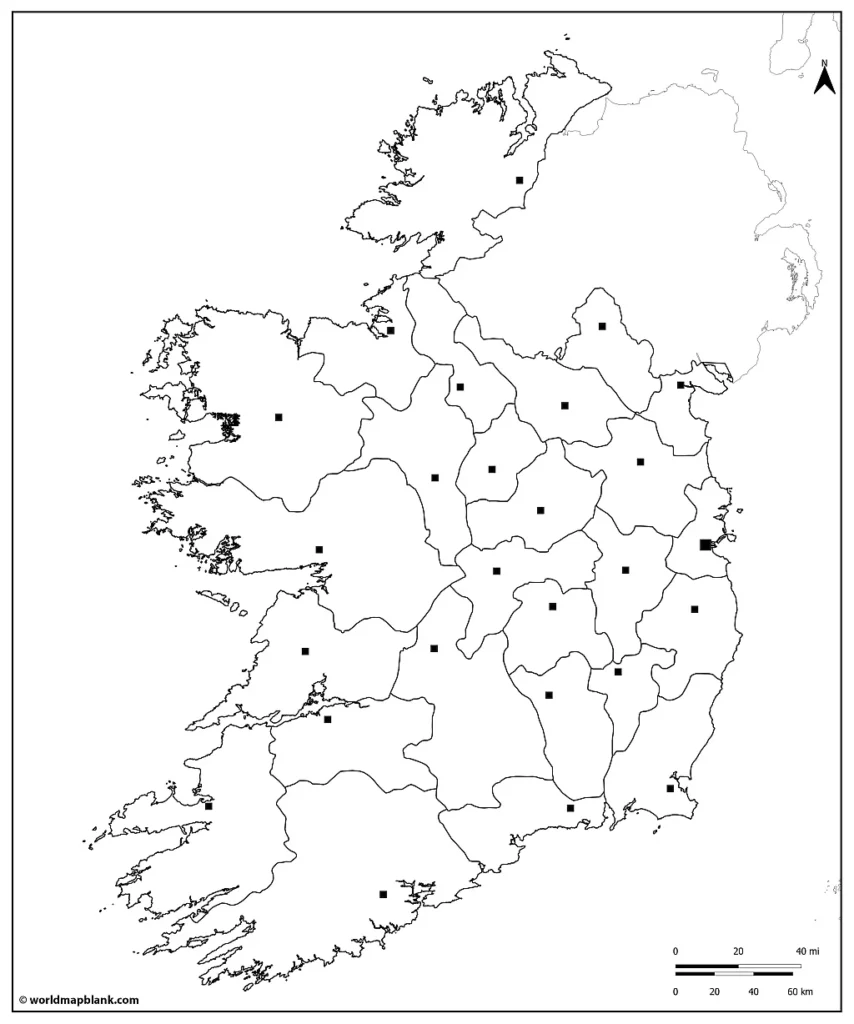
If you would also like to get familiar with and remember the county towns of Ireland, then our following map is the right one for you. This blank map of Ireland’s counties also includes the main towns of Ireland.
Download as PDF (A4)
Download as PDF (A5)
With this map, you or your students can memorize all the counties and country towns of the Republic of Ireland.
Here is a list of the Irish counties with their capitals:
- Carlow – Carlow
- Cavan – Cavan
- Clare – Ennis
- Cork – Cork
- Cork City – Cork
- Donegal – Lifford
- Dublin City – Dublin
- Dún Laoghaire-Rathdown – Dún Laoghaire
- Fingal – Swords
- Galway – Galway
- Galway City – Galway
- Kerry – Tralee
- Kildare – Naas
- Kilkenny – Kilkenny
- Laois – Portlaoise
- Leitrim – Carrick-on-Shannon
- Limerick – Limerick
- Longford – Longford
- Louth – Dundalk
- Mayo – Castlebar
- Meath – Navan
- Monaghan – Monaghan
- Offaly – Tullamore
- Roscommon – Roscommon
- Sligo – Sligo
- South Dublin – Tallaght
- Tipperary – Clonmel and Nenagh
- Waterford – Waterford
- Westmeath – Mullingar
- Wexford – Wexford
- Wicklow – Wicklow
Blank Ireland Map with Counties
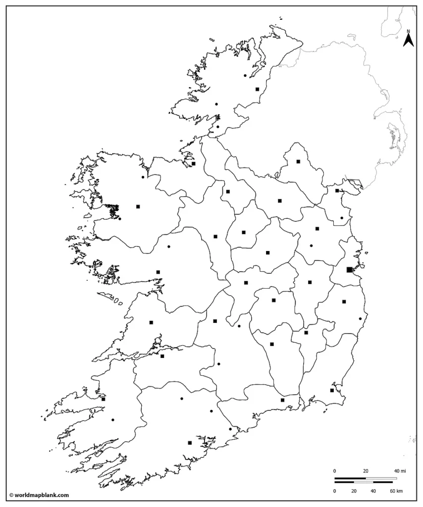
The following map of Ireland blank includes the counties and their capitals (county towns) and additional smaller towns.
Download as PDF (A4)
Download as PDF (A5)
This is our most detailed printable blank map of the counties of Ireland. Use it to create a large variety of learning exercises about the administrative divisions and geography of the Republic of Ireland.
Additional Free and Printable Maps
Below we have added a list of links to additional valuable maps. If your desired map is not included, you can use the search feature at the top of the page. If not, you can also get in touch with us via our contact form and tell us what kind of map you need. We will then try to create it for you and publish it on our site.
Our maps are free to use and can be downloaded as PDF files. Additionally, we offer geography worksheets for various topics and a selection of wall maps and other resources in our World Map Blank Shop.
Country Maps
- Map of Ireland with Counties
- UK Blank Map
- Map of Italy with Cities
- Blank Map of Italy
- Germany Map Outline
- Map of Germany with States
- France Map Outline
- Map of France with Regions
- Map of Australia with States
- Blank Map of Canada
- Provinces Map of Canada
Continent Maps
- Blank Map of Asia
- Asia Mountains Map
- Blank Map of Africa
- Printable Map of Europe
- Blank Map of Europe
- Map of Australia with Capital Cities
- Blank Map of Australia
- South America Map Labeled
- Blank Map of South America
World Maps
- Blank World Map
- World Map with Continents
- Map of the World with Countries
- Printable World Map for Kids

