Hawaii Outline Map – Blank Map of Hawaii [PDF]
A Hawaii outline map or different versions of a blank map of Hawaii can be excellent tools if you want to learn or teach about the geography of the Aloha State. Also, you can use any outline map of Hawaii from this page to track your traveling or for professional applications. You can download all our blank Hawaii maps as PDF files in A4 and A5 sizes.
Additionally, take a look at our other USA maps that we offer free of charge. We are constantly enhancing our collection of US state maps. Finally, we also offer USA map worksheets to learn about all the US states and their capitals.
Hawaii Outline Map
Enveloped by the vast, tranquil expanse of the Pacific Ocean, Hawaii sits over 2,000 miles off the coast of California, presenting a unique fusion of tropical beauty, indigenous heritage, and modern American influences.
The “Aloha State” is the only U.S. state composed entirely of islands, boasting 137 in total. It also has the distinction of being the southernmost state in the country. Of all the islands, eight main islands stand out: Hawaii (commonly known as the Big Island), Maui, Oahu, Kauai, Molokai, Lanai, Niihau, and Kahoolawe. These islands span 6,422 square miles, presenting a diverse canvas of breathtaking landscapes, from snow-capped mountains to lush rainforests, active volcanoes, and sun-kissed beaches.
Download as PDF (A4)
Download as PDF (A5)
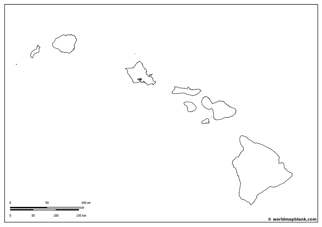
Our first Hawaii outline map only shows the boundaries of the main islands without any further details. Simply click on the links below the image to download the desired map or print it directly from your browser.
Blank Map of Hawaii
As of the last U.S. Census data (2022), Hawaii had a population of approximately 1.44 million residents. Oahu is the most populous island, home to nearly two-thirds of the state’s population. This diverse populace encompasses a rich cultural tapestry woven from Native Hawaiians, Polynesians, Asians, Caucasians, and numerous other ethnicities, contributing to Hawaii’s vibrant multicultural society.
Download as PDF (A4)
Download as PDF (A5)
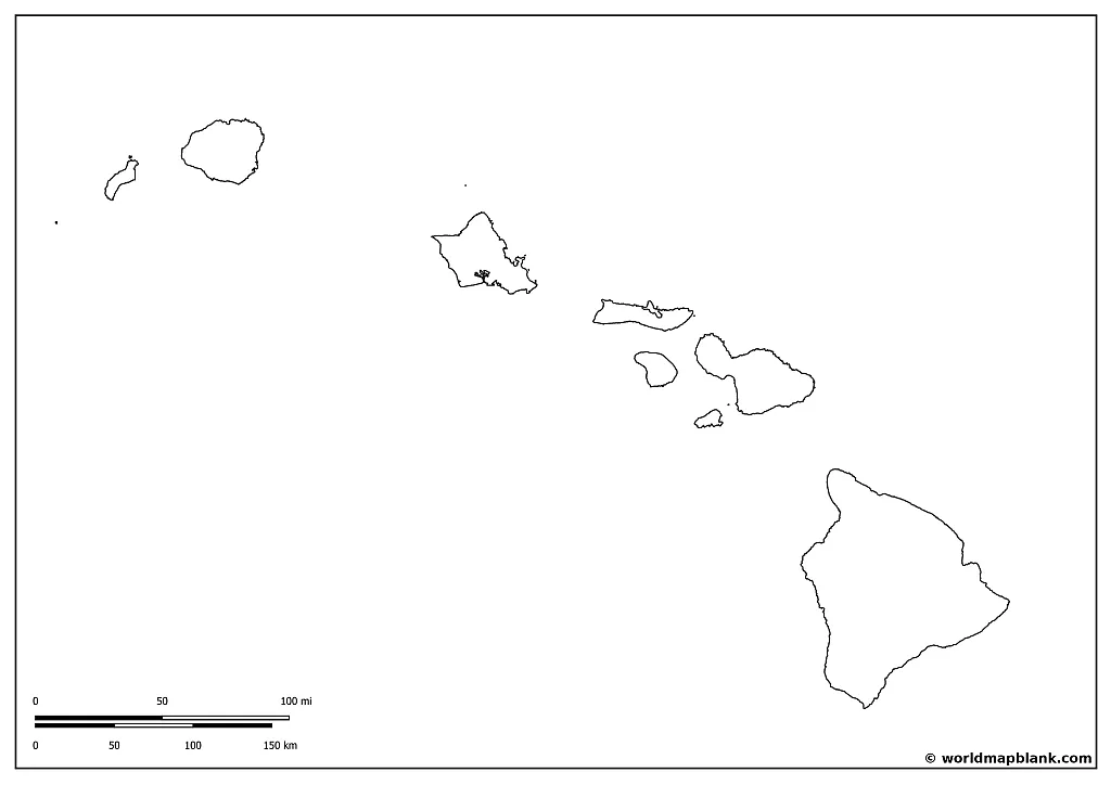
The blank map of Hawaii above is similar to the first one, but it now also shows the border of Kalawao County. It is the smallest county on the United States map by land area and boasts a unique history and a sense of tranquility that sets it apart from the rest of Hawaii.
Kalawao County is located on the island of Molokai’s northern peninsula, known as the Kalaupapa Peninsula. The county itself, which doesn’t have a traditional county seat or an elected government, is primarily managed by the Hawaii Department of Health and partially administered by Maui County. The county’s total land area is just 12 square miles, but a rich and poignant history unfolds within this small region.
In the late 19th and early 20th centuries, Kalawao County became a place of refuge and isolation for individuals affected by leprosy (now known as Hansen’s disease). In 1866, the Kingdom of Hawaii, under King Kamehameha V, established the Kalaupapa Leprosy Settlement to control the spread of the disease. Over time, more than 8,000 individuals with leprosy were forcibly relocated to the area to live out their lives in isolation. This practice continued until 1969 when effective treatments were developed and forced isolation ended.
Saint Damien of Molokai, a Roman Catholic priest from Belgium, and Saint Marianne Cope, a nun from New York, are two notable figures who dedicated their lives to serving those affected by leprosy in the settlement, providing medical and spiritual care.
In 1980, the Kalaupapa National Historical Park was established to preserve the county’s cultural and physical landscapes and provide education about its history. The park also continues to serve as a home for several remaining residents who once were patients at the settlement, allowing them to live out their lives in the place they’ve called home for so long.
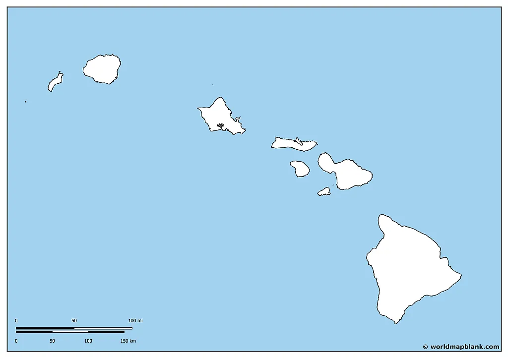
Hawaii Outline Map with the Pacific Ocean
Our following map is again similar to the earlier ones but now includes the Pacific Ocean surrounding the Hawaiian Islands. Check out our world map with seas to learn more about the world’s oceans.
Download as PDF (A4)
Download as PDF (A5)
Hawaii’s history is both deeply rooted and dynamically changing. The islands were initially settled by Polynesians around 1,500 years ago, who formed a complex society governed by kapu, a strict system of laws. The year 1778 marked the arrival of British explorer Captain James Cook, marking Hawaii’s first contact with Europeans. Hawaii underwent a significant transition during the 19th century, evolving from a native kingdom to a republic and then to a U.S. territory. The infamous attack on Pearl Harbor during World War II further shaped Hawaii’s path, accelerating its transition to statehood in 1959, making it the 50th state of the U.S. You can see all the US states on our United States Map with States.
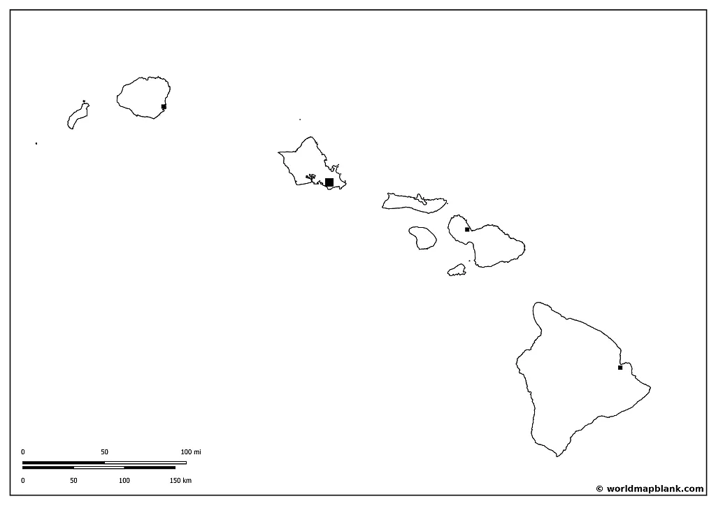
Blank Hawaii Map with Capital and Counties
Hawaii comprises five counties: Honolulu, Maui, Kauai, Hawaii, and Kalawao. Each county has its own unique charm and allure.
Honolulu County encompasses the entirety of Oahu, and the county seat is the city of Honolulu. The Maui County, comprising the islands of Maui, Lanai, Molokai (excluding Kalawao), and Kahoolawe, has Wailuku as its county seat. The county of Kauai includes the islands of Kauai and Niihau, with Lihue serving as the county seat. Hawaii County covers the Big Island, with Hilo as the county seat. Finally, Kalawao County, which does not have an elected government, consists of the Kalaupapa Peninsula on Molokai, which was historically a leper colony and now serves as a National Historical Park.
Download as PDF (A4)
Download as PDF (A5)
The Hawaii outline map with counties above is great for marking all the names of the eight main islands of Hawaii and their most important agglomerations. These are the Hawaiian counties and their county seats:
- Honolulu County – Honolulu
- Hawaii County – Hilo
- Maui County – Wailuku
- Kauai County – Lihue
- Kalawao County – n/a
Kalawao County does not have a county seat due to its historical background as a leprosy settlement, its small population, and its unique administrative structure. The county was established mainly to quarantine individuals with Hansen’s disease and is managed by the Hawaii State Department of Health instead of a typical county governance system. Its tiny population and geographical isolation also make a traditional county seat unnecessary.
Hawaii Blank Map with County Seats and Towns
The capital of Hawaii, Honolulu, is not just the political epicenter but also a pulsating hub of culture, history, and economic activities. Nestled on the island of Oahu, Honolulu is the state’s largest city and home to iconic landmarks like the Diamond Head, Pearl Harbor, and the world-renowned Waikiki Beach. From the bustling downtown, with its soaring skyscrapers and historic sites, to the serene beauty of Manoa Valley, Honolulu perfectly embodies Hawaii’s unique blend of tradition and modernity.

Download as PDF (A4)
Download as PDF (A5)
Our most detailed Hawaii blank map also includes markers for the most important settlements after the state capital and county seats.
Here is an alphabetical list of all the places marked on the map, ordered by island:
Hawaii (“The Big Island”)
- Hawaiian Beaches
- Hawi
- Hilo
- Honaunau-Napoopoo
- Honokaa
- Kahaluu-Keauhou
- Pahala
- Papaikou
- Waimea
Maui (“The Valley Isle”)
- Kahului
- Kapalua
- Kihei
- Lahaina
- Makawao
- Wailea-Makena
- Wailuku
Oahu (“The Gathering Place”)
- Barbers Point Housing
- Honolulu
- Kailua
- Kaneohe
- Kaneohe Station
- Mililani Town
- Waialua
- Waiawa
Kauai (“The Garden Isle”)
- Anahola
- Eleele
- Kekaha
- Kilauea
- Koloa
- Lihue
- Princeville
- Wailua
Molokai (“The Friendly Isle”)
- Kaunakakai
- Kualapuu
Lanai (“The Pineapple Isle”)
- Lanai City
Niihau (“The Forbidden Isle”)
- n/a
Kahoolawe (“The Target Isle”)
- n/a
More USA Maps for Download
World Map Blank provides an entire section with blank and labeled maps of the USA and US state maps. Some of our most popular ones include:
- Blank US Map
- Map of the USA with Cities
- Interstate Map of USA
- Map of California Blank
- Texas Map Blank
- Arizona Outline Map
Other Free PDF Maps
Apart from our USA maps, you can find many different world, continent, and country maps on our site. We also produce map worksheets and offer many maps and other geography resources in our shop. All of our free maps can be downloaded as PDF files.
If you are looking for a specific map that you cannot find on our site, please send us a message. We might be able to create the desired map for you free of charge.
World Maps
Continent Maps
- Africa Countries Map
- Blank Map of Africa
- Map of Europe Labeled
- Europe Outline Map
- Blank South America Map
- Map of Australia Outline
- Blank Map of North America
Country Maps
Related Posts


