Blank Map of Netherlands – Holland Outline Map [PDF]
This blank map of the Netherlands page has an array of useful maps for you! Six maps are available, each with a different type of division and categorized based on their features. The Netherlands, or Holland outline map, for example, is a map that outlines the outer shape of the country. Otherwise, it is entirely blank, so it can be used to draw in any details you want to focus on. But we also offer a blank Netherlands map with cities and other Netherlands outline maps.
The maps can be used for various purposes, e.g. educational, informative, and professional. Most of our maps are available in A4 and A5 sizes. And, of course, they are free to download as PDF files and printable directly from your browser!
So scroll down and check out the maps we have prepared for you!
Outline Map of Netherlands
The Netherlands has a population of approx. 17.5 million people is one of Europe’s most densely populated countries. The population lives on a total surface area of 16,160 sq miles (41,850 km²) – of which the land area is only 12,900 sq miles (33,500 km²).
The Kingdom of the Netherlands is informally and popularly known as the country of Holland. Why the Netherlands is called “Holland” is an exciting story. This habit stems back from Napoleonic times when Holland was the most economically powerful region of the country. It was considered “the only part worth mentioning” in crude terminology. Today, it is still a common misnomer, identifying and calling the entire Netherlands “Holland”. But this is wrong, as it truly refers to only 2 of the 12 provinces of the country (North Holland and South Holland). Yet, it is such a common mistake that it has been incorporated into the identity of the people as they are perceived from the outside.
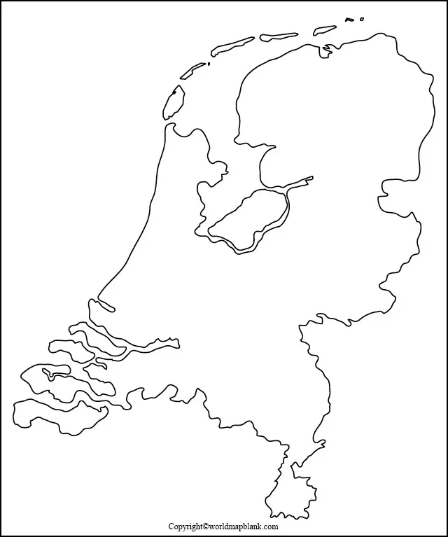
Above, the Netherlands map outline delineates the external borders of the country. This is a great map to draw in geographic details like maritime borders, rivers, lakes, canals, and even landmarks.
The Netherlands has many rivers, the three major ones being the Rhine, the Meuse, and the Scheldt. These rivers pass through many cities and towns and play an essential part in Dutch history, as much of the country was initially formed by the estuaries of these three large European rivers.
Activity idea: Can you locate the three rivers Rhine, Meuse, and Scheldt and draw them into the map?
Blank Netherlands Map
The Kingdom of the Netherlands in continental Europe comprises 12 provinces. It is also further divided into 21 water districts. These water districts are just as important as the provincial divisions because of the geographical reality of the country, which is quite literally reflected in its name. Almost a third of the Netherlands is below sea level.
The water districts are controlled by a water board, which is like a commission that has been democratically voted in place. Each water board has authority in matters concerning water management. The waterboards came before the country was even officially constituted, as 1196 is the first recorded date of a Dutch waterboard. The waterboards are considered one of the oldest examples of democratic entities in the world.
Download as PDF (A4)
Download as PDF (A5)
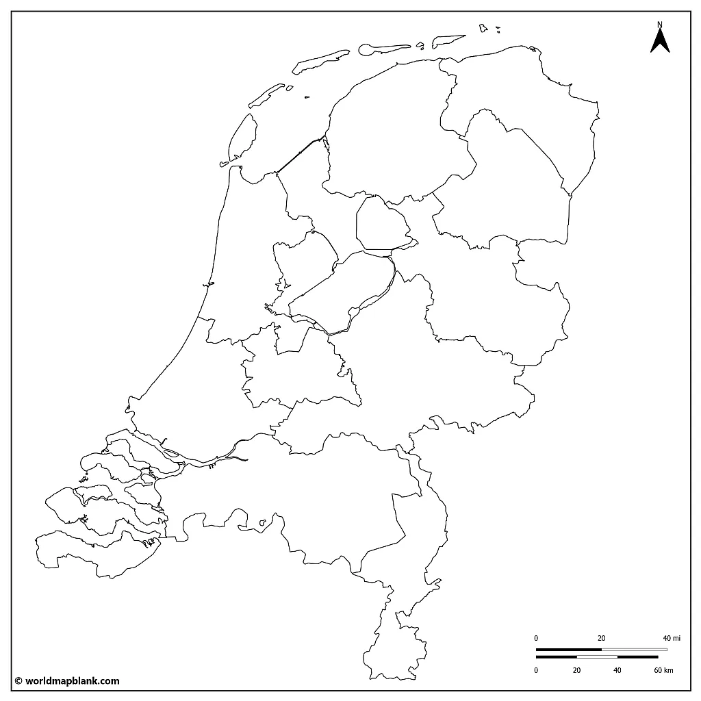
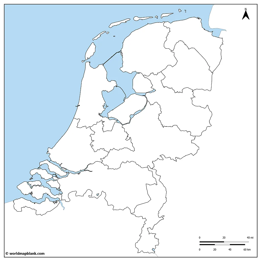
The above blank map of Holland (or the Netherlands) highlights the provincial divisions of the country. This map can be used to teach about each province and its regions.
Four important landmarks of the country are the following:
- the windmills of Kinderdijk, South Holland
- the tulip fields of Lisse, South Holland
- the fortified town of Naarden, North Holland
- the Delta Works, Zeeland
Activity idea: Identify where they are and draw in the landmarks with the symbols of a little windmill, a tulip, a tower, and a dam.
Challenge: Can you research and draw in any more special landmarks?
Blank Outline Map of the Netherlands
The official language of the Netherlands is Dutch, which is closely related to English and German. Barbantian, Limburgish, and West Frisian are the most known dialects spoken. Of these three, only West Frisian is officially considered a regional language. Frisian is also spoken in some parts of Germany, while Limburgish is spoken in some areas of Belgium.
The Netherlands has a long history as one of the countries initiating the process towards European unity. As you can see on our map of the EU page, the country was even part of the European Coal and Steel Community founded in 1951. The Maastricht Treaty, formally called the Treaty on European Union, was signed in 1992 in the capital city of the Dutch province of Limburg.
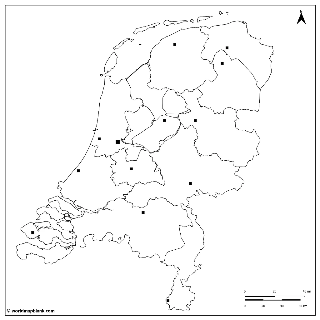
The following blank outline map of the Netherlands shows all the provinces of the country with markers for their capitals.
Download as PDF (A4)
Download as PDF (A5)
Below is a list of the provinces of the Netherlands with their capitals in alphabetical order. Also mentioned is the dialect spoken in each province apart from Dutch (if applicable):
- Arnhem (Gelderland)
- Assen (Drenthe)
- Groningen (Groningen)
- Haarlem (North Holland)
- Leeuwarden (Friesland) – Frisian
- Lelystad (Flevoland)
- Maastricht (Limburg) – Limburgish
- ‘s-Hertogenbosch (North Brabant) – Brabantian
- The Hague (South Holland)
- Utrecht (Utrecht)
- Middelburg (Zeeland)
- Zwolle (Overijssel)
There are 3 special municipalities or overseas territories belonging to the Netherlands. They are small Caribbean islands that are fully integrated into the administrative structure of the Kingdom of the Netherlands.
- Bonaire (Kralendijk)
- Saba (The Bottom)
- Sint Eustatius (Oranjestad)
Activity idea: Label this Netherlands outline map with the names of the provinces and their capitals.
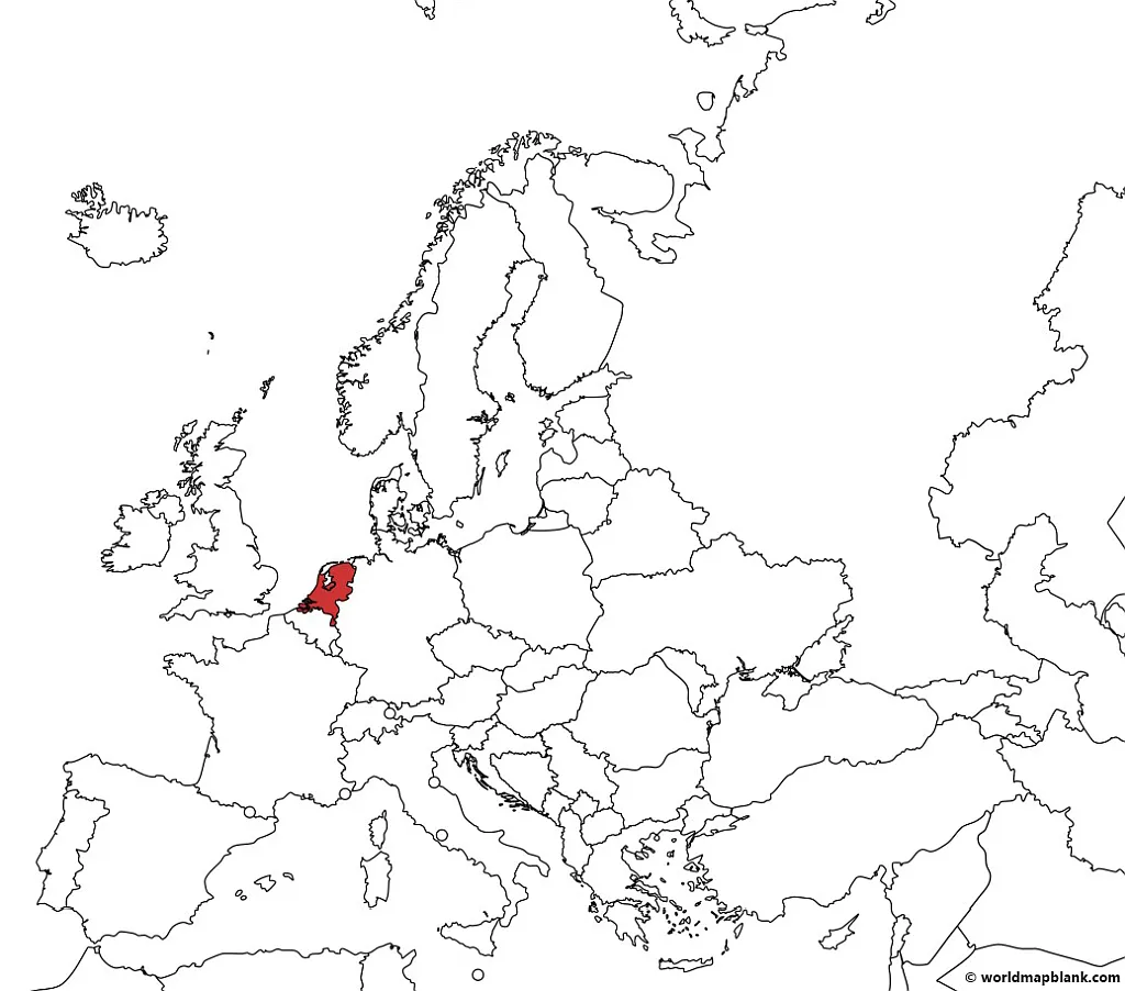
Holland on a Map
The Netherlands is part of the northern hemisphere of Western Europe. The country adheres to Central European Time and is in the CET/CEST time zone. The Netherlands is on the map with their coordinates: 52, 22° degrees north and 4, 53° degrees east.
The map below was created with a tool called MapChart.
Download as PDF (A4)
Download as PDF (A5)
Activity idea: Using this map showing where Holland is located, try to mark all the other European Union countries. Can you color them all in the same color?
During European colonialism in the 17th century, the Netherlands began establishing colonies in several parts of the world, such as the Americas, Africa, and Asia.
Today, three Caribbean islands still used to belong to the Netherlands as Dutch colonies. They are now considered separate countries within the kingdom and have a high level of autonomy and self-governance while keeping close ties to the Netherlands.
- Willemstad (Curaçao)
- Oranjestad (Aruba)
- Philipsburg (Sint Maarten)
Blank Map of the Netherlands
The Netherlands is situated on the western edge of the European continent and has a long coastline with the North Sea on its northwestern side. This is considered a maritime border with the United Kingdom, Belgium, and Germany. The coastline runs approx. 280 miles (450 km).
To the east, the Netherlands has a land border with Germany, and to the south, with Belgium.
Download as PDF (A4)
Download as PDF (A5)
The Netherlands belongs to several international organizations of countries, among which are the UN, the European Union, and NATO. These relationships with neighboring countries reflect the Netherlands’ foreign policy of cooperation and integration.
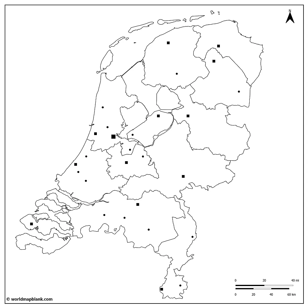
Blank Netherlands Map with Cities
Amsterdam is the capital city of the Netherlands. Its name comes from its location, at the mouth of the river Amstel. The city is approximately two meters below sea level. Since its beginnings, when the historic village of Amsterdam was literally dammed up, the city has been building more than 100 km of canals. The canal system is a valuable transport system and a strategy to reroute the water. That way, human habitation is possible in this unique geographic circumstance.
Download as PDF (A4)
Download as PDF (A5)
Here is a list of the top ten cities in the Netherlands in order of population size, with their province, and rounded to the nearest thousand:
- Amsterdam (North Holland) – 870,000
- Rotterdam (South Holland) – 655,000
- The Hague (South Holland) – 545,000
- Utrecht (Utrecht) – 357,000
- Eindhoven (North Brabant) – 233,000
- Tilburg (North Brabant) – 219,000
- Groningen (Groningen) – 202,000
- Almere (Flevoland) – 204,000
- Breda (North Brabant) – 184,000
- Nijmegen (Gelderland) – 176,000
The numbers are based on estimates from the Dutch Central Bureau of Statistics in 2022.
More Free Maps for Download
Have you found what you were looking for? In any case, we offer many more maps to explore! From blank and labeled to continent and country, as well as river and mountain maps – discover our maps via the links below or the menu at the top of this page!
Additionally, we now also offer map worksheets for learning activities.
European Countries Maps
- Blank Map of Germany
- Outline Map of Belgium
- Political Map of Germany
- France Map with Regions
- Blank Map of France
- Italy Map with Regions
- Blank Map of Italy
- Outline Map of Spain
Other Country Maps
- USA Map
- Blank Map of the United States
- Canada Map with Provinces
- Blank Canada Map
- Outline Map of Mexico
- Blank Map of Brazil
- Argentina Map with Provinces
Continent Maps
World Maps
With maps created by:
Edelweise Shane Angeles is a skilled GIS Analyst and Cartographer from Davao City, Philippines. Holding a Bachelor's in Geology and Earth Science, he specializes in creating practical, clear maps using tools like Global Mapper, ArcGIS, ArcMap, and Google Earth Pro. Edelweise creates both blank and labelled maps for World Map Blank.


