Blank Map of Belgium – Outline Map of Belgium [PDF]
Are you looking for a blank map of Belgium? On this page, you will find several Belgium outline maps free to download and print, each different and valuable! Whether you’re a student or a teacher of geography, or simply someone planning an upcoming trip – this outline map of Belgium page has something for you!
We’ve designed all our maps with convenient features so they can be easily printed out as well as customized to fit whatever project or task you have in mind. They are available in both A4 and A5 formats as PDF files. So scroll down and find your empty Belgium map now!
Outline Map of Belgium
Belgium (officially the Kingdom of Belgium) is a small country located in Western Europe. It is bordered by the Netherlands to the north, Germany to the east, Luxembourg to the southeast, and France to the southwest. Belgium has a population of around 11.5 million people and lies at the heart of the European Union (EU) and NATO.
Our first map is an outline map of Belgium showing only the outer boundaries of the country. This Belgium map outline is excellent for drawing in geographical features like rivers or climate zones. You could also use it to mark historical events that have affected the country.
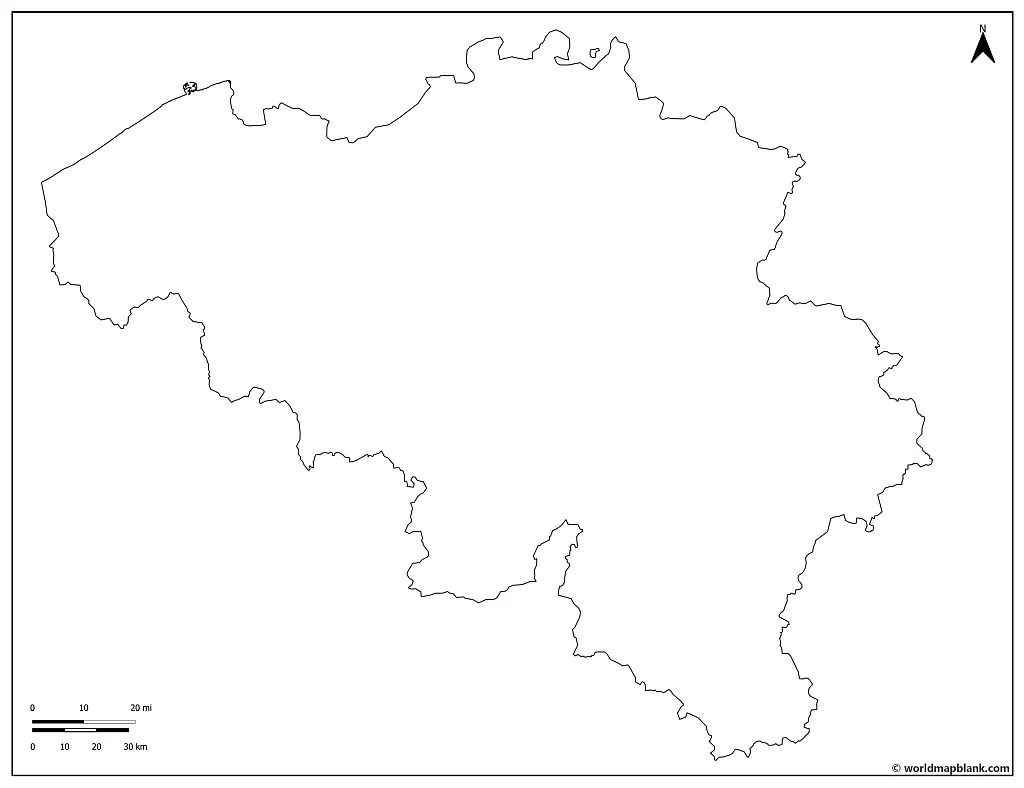
Download as PDF (A4)
Download as PDF (A5)
With an area of 11,786 square miles (30,528 km²), Belgium is approximately as large as the US state of Maryland or a third the size of Portugal. Its terrain consists mainly of plains, plateaus, and hills in the central region, with coastal areas to its northwest side. The highest point is Botrange Mountain, situated 694 meters above sea level, while the lowest point is the North Sea at 0 meters elevation. Belgium’s climate is temperate marine, characterized by mild winters, cool summers, and precipitation every season.
You can download any map of Belgium from this page by clicking on the download links below the images. Most of the maps are available in two sizes, A4 and A5.
Blank Map of Belgium
Belgium represents more than just a rich history; it stands at the crossroads between various languages and cultures, where each influence remains distinct.
Belgium has three official languages: French, Dutch, and German. Walloon is another language (with approximately 300,000 active speakers), and several regional dialects are also used. Both English and Arabic are widely spoken by parts of the population as well.
The Belgian people live in good health. Their life expectancy has grown by two months per year since 1960, reaching 79.65 years on average! The country generally excels in reports about quality of life – from health care and education to living standards.
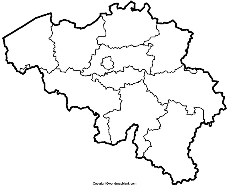
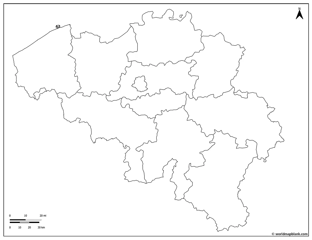
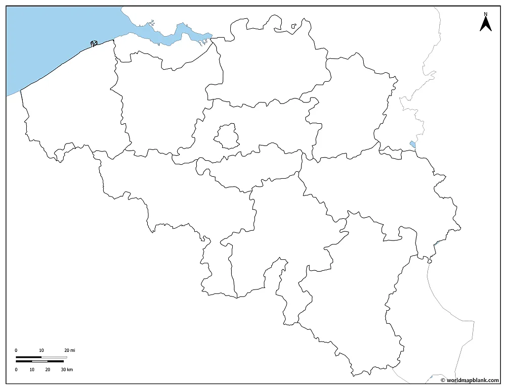
Blank Map of Belgium with Provinces
Belgium’s constitution, revised between 1970 and 1993, established a unique federal system that segregated political power into three levels. The country is divided into language areas, with the Flemish Community (Dutch-speaking), French Community (French-speaking), and German-speaking community as part of this structure.
Our following blank map shows not only Belgium’s outer international borders but also the inner borders between the Belgian provinces.
Download as PDF (A4)
Download as PDF (A5)
Furthermore, these divisions determine the official languages used in their respective municipalities and provide an outline for powerful institutions to hold jurisdiction over particular matters within each region.
There are three regions: the Flemish Region, the Walloon Region, and the Brussels region. The first two are then further divided into provinces, while the Brussels capital region is unique because it is not a province nor a part of one.
Outline map of Belgium with Neighboring Countries
Belgium shares borders with several countries, making it an important crossroads for Europe. To the north, the Netherlands, to the east, Germany. To the southeast, Luxembourg, and the southwest, France. Belgium has a coastline with the North Sea in the northwest direction.
The following map is a map of Belgium and surrounding countries. It’s great for teaching about history and current events between the nations.
Download as PDF (A4)
Download as PDF (A5)
With its divided political and language factions, Belgium has played a significant role in the development of many influential European art movements. Although each section now holds independent cultural activity, they constitute an impressive united sphere that is still gradually evolving today. The country has only two bilingual post-secondary institutes: the Maritime and the Military Academies.
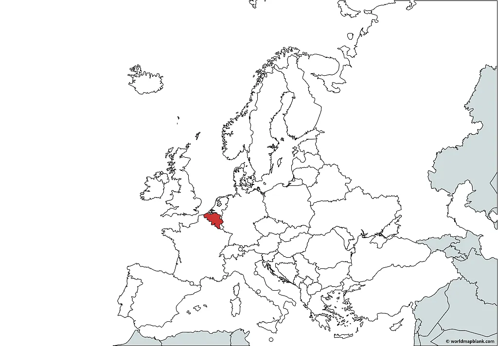
Where is Belgium on the Map?
The following Belgium location map can be used to learn about the size of the country in relation to its neighbors and its place in the greater context of Europe.
The location of Belgium on a world map can be found by the coordinates of Brussels, the capital city of Belgium: 50° N, 4° E. The country lies in the Central European Time Zone, one hour ahead of Coordinated Universal Time (UTC+1). It is part of continental Europe and is located in the northern hemisphere.
Download as PDF (A4)
Download as PDF (A5)
The above map was created with MapChart.
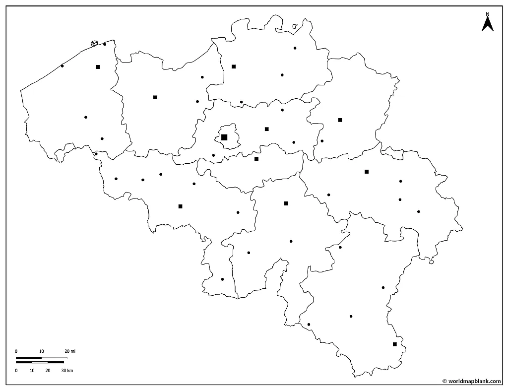
With the following map, we are focusing more on the country’s internal divisions, highlighting the locations of the cities of Belgium.
Blank Belgium Map with Cities
This Belgium outline map shows you where the Belgian capital, Brussels, is located on the map and includes many other cities and towns of the country. Try to color in the different languages each city speaks to create a great visual of how multilingual and multicultural Belgium is.
Brussels is not only the capital city of Belgium but also the seat of the European Commission and the Council of the European Union. For more information about Belgium and the EU, check out our map of the EU page.
Download as PDF (A4)
Download as PDF (A5)
Below is a list of the largest cities in Belgium with their populations as of 2021, rounded to the nearest thousand, and the language(s) spoken in each city:
- Brussels (1,208,000) – officially bilingual (French and Dutch)
- Antwerp (529,000) – Dutch
- Ghent (263,000) – Dutch
- Charleroi (201,000) – French
- Liège (198,000) – French
- Bruges (118,000) – Dutch
- Namur (111,000) – French
- Leuven (105,000) – Dutch
- Mons (97,000) – French
- Aalst (85,000) – Dutch
More Free Maps for Download
Check out our other maps of European countries and the rest of the world! We offer both labeled and blank maps for free download as PDF files. Our maps can be printed and are great resources to create worksheets and other learning materials. Below are a few links to pages where you will find more maps that might be interesting to you.
European Countries Maps
- Labeled Map of Belgium
- Blank Map of Germany
- Germany Map with States
- Blank Map of France
- France Map with Regions
- Blank Map of Ireland
- Map of Ireland with Counties
- Blank Map of Italy
- Italy Regions Map
USA Maps
World Maps
- Blank World Map
- Political World Map
- World Map with Latitudes and Longitudes
- Physical World Map
- World Map for Kids
- World Map with Oceans
Continent Maps
Related Posts


