Blank Map of Portugal – Outline Map of Portugal [PDF]
Welcome to the blank map of Portugal page! Here, you will find different versions of an outline map of Portugal that vary in detail and focus. We offer a simple outline map, a contextual region map, and other administrative division maps. Each Portugal blank map can be used to learn and teach about the country’s geography or other purposes.
Whatever your intention, these maps are guaranteed to be of use! Almost all of our PDF maps are available in A4 and A5 sizes – free to download or print directly from your browser!
We also have included interesting facts and activity ideas alongside each map. So browse through this page and start exploring our blank maps of Portugal!
Outline Map of Portugal
Portugal is located on the west coast of the Iberian Peninsula in the southwest of the European continent. Its total landmass is 35,560 square miles (92,212 km²). The country is officially known as the Portuguese Republic (República Portuguesa) and consists of mainland Portugal plus two autonomous regions: the Azores and Madeira.
Portugal first became an independent kingdom in 1143 and quickly grew into one of the world’s most powerful empires. A Portuguese, Fernão de Magalhães (sometimes referred to as Magellan), planned and commanded, between 1519 and 1522, the first circumnavigation of the globe.
Today, the country‘s population is just over 10,3 million (as of 2023). The official language is Portuguese, and the native people make up 95% of the population. This ethnic group is considered Iberian, with roots drawn back to the beginning of human activity on the Iberian peninsula. The country’s population has been greatly influenced by migration throughout history, especially by Portugal’s colonial past.
Download as PDF (A4)
Download as PDF (A5)
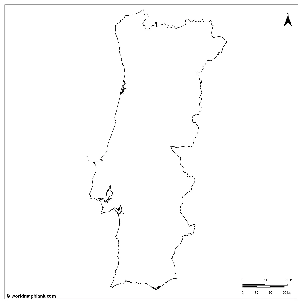
Our first outline of the Portugal map above is excellent for filling in geographic features like lakes, rivers, and mountains.
Activity idea: The largest rivers of Portugal are the Tagus, the Douro, the Guadiana, the Minho, and the Mondego. Can you identify their routes and draw them into the map?
Blank Map of Portugal with Districts
Portugal has two types of administrative divisions: municipalities and districts.
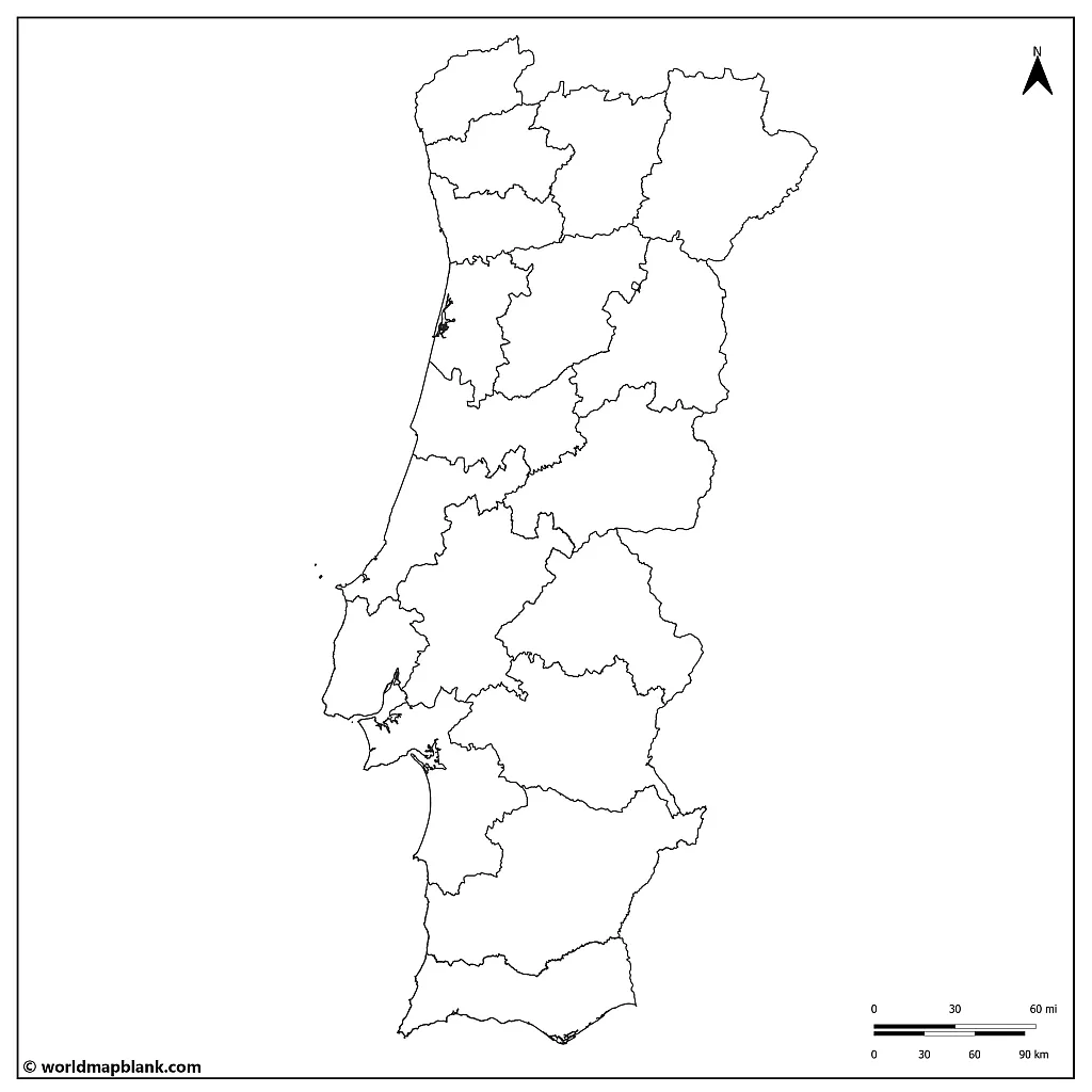
A district in Portugal is a higher-level administrative division responsible for coordinating and managing the various municipalities within its jurisdiction. In terms of size, districts are much larger than municipalities, with each district containing several municipalities.
There are 18 districts in mainland Portugal, each with its capital city and government. Districts are responsible for overseeing various public services, such as public safety, healthcare, education, and transportation, and they also have the authority to enforce national laws and regulations.
Download as PDF (A4)
Download as PDF (A5)
There are 308 municipalities in Portugal, each with its government and mayor. They are smaller administrative divisions responsible for providing services and managing local affairs. Varying in size, they can range from small rural villages to large urban centers.
Municipalities are responsible for various local services, including waste management, public parks, infrastructure, and social services. They also collect local taxes and fees, such as property taxes and parking fees.
It is worth noting that while the central government appoints districts, municipalities are elected by the local population. This means municipalities have more autonomy and can make more local decisions that directly impact their communities.
Below is a list of the 18 districts of Portugal in alphabetical order:
- Aveiro
- Beja
- Braga
- Bragança
- Castelo Branco
- Coimbra
- Évora
- Faro
- Guarda
- Leiria
- Lisbon (Lisboa)
- Portalegre
- Porto
- Santarém
- Setúbal
- Viana do Castelo
- Vila Real
- Viseu
Activity idea: Use this list to identify and label the districts on the map.
Where is Portugal on the World Map?
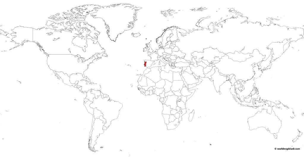
Do you know where Portugal is on a map? The map coordinates of the country tell us where we can find it. The Portuguese Republic extends between 30-42° N, and 32-6° W. The northernmost point of mainland Portugal is located at 42° and the southernmost point at 36°. The country is classified in both the western and northern hemispheres.
The Portuguese Republic adheres to two time zones. Mainland Portugal and Madeira observe UTC+ 00:00 while the Azores use UTC-01:00.
Historically, Portugal has changed its timekeeping system time and again! Trying to match up with European time structure while respecting their region’s sunrise time proved complicated.
It took decades, switches of governments, and civil complaints to finally settle on a medium that everyone could agree upon. In 1996, the national government switched back to the Western European Time Zone (from Central European Time).
Download as PDF (A4)
Download as PDF (A5)
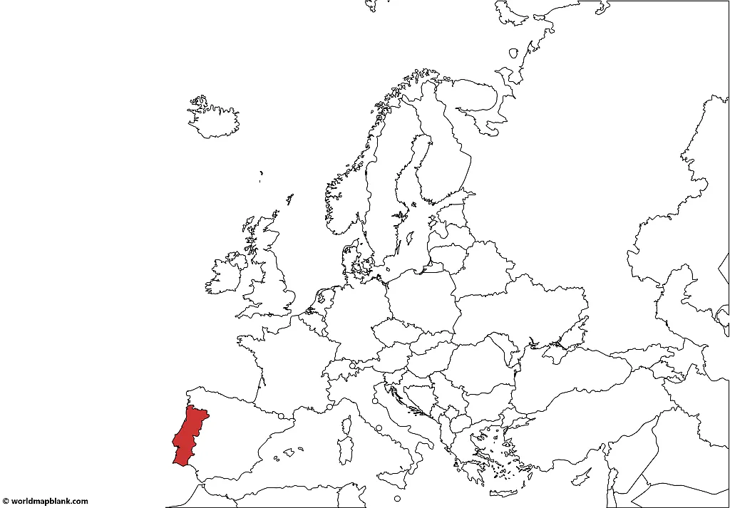
The above Portugal map was created with MapChart. In the next section, you will find a similar map with Portugal on a map of Europe.
Portugal on a Map of Europe
The mainland of Portugal has a 1,800 km coastline with the Atlantic Ocean. The archipelagos of the autonomous regions of the Azores and Madeira are found in the Atlantic Ocean. The island regions are west of the Iberian Peninsula, where Portugal is located.
The highest peak of the Portuguese Republic is found on the Island of Pico in the Azores. It is named Mount Pico and is an ancient volcano. It stands at 7,713 ft (2,351 m) above sea level.
Here is another map we created with MapChart showing the location of Portugal on a map of Europe.
Download as PDF (A4)
Download as PDF (A5)
Activity idea: Can you identify the Azores and Madeira? Can you further locate the island of Pico where Mount Pico is found? See if you can draw in and label the highest geographical point of the country!
Blank Portugal Map with Capitals
The climate of Portugal is, in general, Mediterranean and mild. However, it differs from a colder, wetter climate in the north (precipitation all year round) to a warmer, dried one in the south (rain in the winter). Throughout the country, the temperature rarely drops below freezing.
Download as PDF (A4)
Download as PDF (A5)
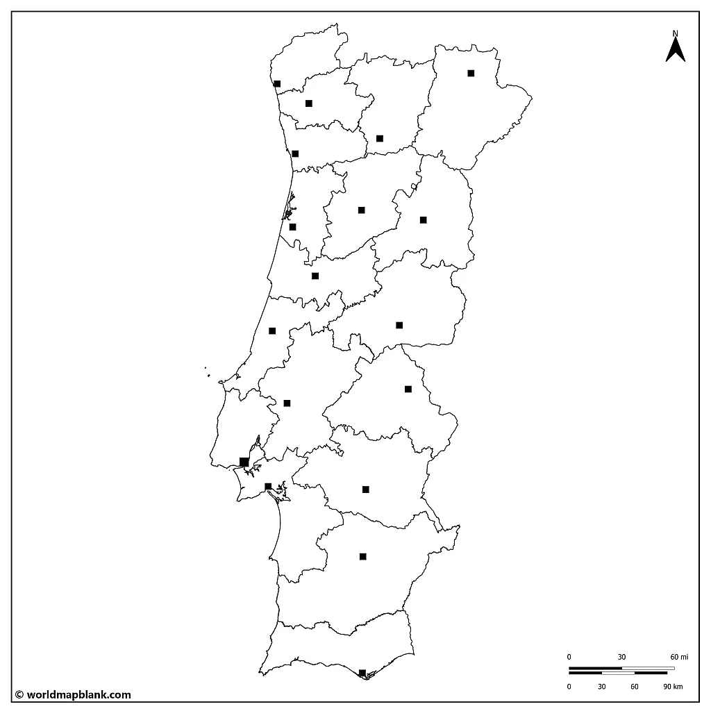
The above map has the capitals of each district marked. These capital cities carry the same name as their districts! Refer to the list in the previous section for all of these names.
Activity idea: Label and identify each capital and its district. Shade each district in a different color.
Portugal Map Outline with Cities
Portugal ranks 14th on the list of the most to least urbanized countries in the European Union, based on data from the European Commission. As of 2023, roughly 65% of its population is living in urban areas.
In general, a trend towards urbanization in the European Union will continue into the future. While Portugal has a relatively high level of urbanization, much of the country’s land area is still dedicated to agriculture, forestry, and natural landscapes. Portugal has a long history of sustainable land use practices, with traditional agricultural and forest management techniques prioritizing environmental conservation and preservation.
Download as PDF (A4)
Download as PDF (A5)
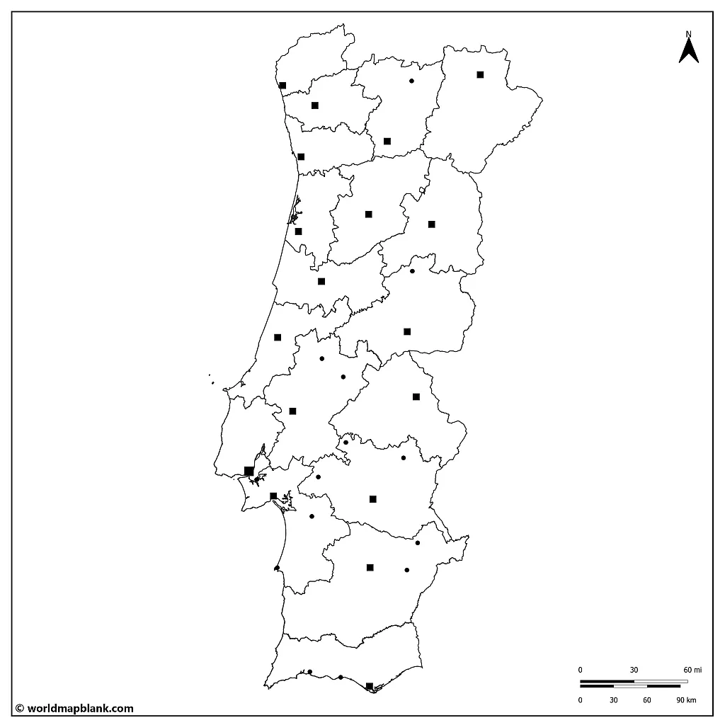
Below is a list of the ten most important cities of Portugal. They are listed together with the district they are found in, and their population is rounded to the nearest thousand. Included is a short description of each city’s outstanding features:
- Lisbon (508,000) – Lisbon District: capital and largest city of Portugal, with a thriving economy based on finance, tourism, and technology
- Porto (214,000) – Porto District: second-largest city of Portugal, known for its historic old town, port wine, and contributions to the textile, paper, and wine industries
- Braga (181,000) – Braga District: known as the “Rome of Portugal” due to its numerous churches and religious heritage
- Vila Nova de Gaia (180,000) – Porto District: across the Douro River from Porto, famous for its port wine cellars, tourism, manufacturing, and services
- Setúbal (118,000) – Setúbal District: a coastal city known for its seafood and the birthplace of the Portuguese poet Bocage
- Coimbra (101,000) – Coimbra District: the University of Coimbra, one of the oldest and most important universities in Europe
- Viseu (99,000) – Viseu District: a historic city with well-preserved medieval architecture, traditional crafts, and cuisine
- Faro (64,000) – Faro District: capital of the Algarve region with mainly fishing, agriculture, beaches, and tourism
- Santarém (61,000) – Santarém District: in central Portugal with historical landmarks such as the Church of the Holy Miracle and the Alcáçova Palace; an important hub for agriculture and food processing, particularly in wine, olive oil, and dairy products
- Bragança (20,000) – Bragança District: in northeastern Portugal with a historic castle; center for agriculture and forestry
Activity idea: Can you find and label these cities? Think about what symbol you could draw on the map to represent each city. Then, create a legend on the map’s side explaining the chosen symbols.
Blank Map of Portugal and Spain
Portugal is a member of the European Union and currently uses the Euro as its currency. Portugal and Spain joined the EU’s predecessor, the European Economic Community, in 1986. This was an essential shift towards democracy in the region, especially for Spain. Today, the Portuguese make up 2% of the EU’s population. You can learn more about the European integration process on our map of the EU page.
Download as PDF (A4)
Download as PDF (A5)
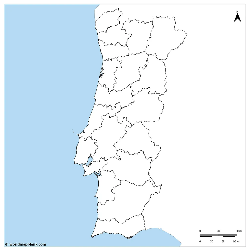
What country borders Portugal? Spain! Portugal and Spain share a long history due to their common border on the Iberian Peninsula. Both countries are predominantly Catholic and speak romance languages. There are close linguistic and cultural ties between Portugal and Spain due to centuries of exchange between these neighboring regions.
Portugal has no other land border but is surrounded by the Atlantic Ocean in the west and south.
Due to its geographic location, Portugal played a crucial role in exploring uncharted territories beyond the European continent.
Activity idea: Take a deeper look into the characteristics of the region. Can you identify other similarities between Portugal and Spain? The Iberian Peninsula shares climate and geographic zones that have contributed to the way of life of the people who inhabit the area.
Draw in features that represent the culture of the whole region! Remember to make a legend explaining your symbols.
Other Free and Printable PDF Maps
Have you found what you were looking for? Would you like to see other maps you can print or download? The site has several map sections, including world maps, continent maps, labeled maps, and country maps. Check the main menu or use the search option to explore our site.
We regularly add more content to our site. But if there is something you are looking for and have yet to find, please drop us a line! We would be happy to prioritize the information you need!
European Countries Maps
- Blank Map of Spain
- France Regions Map
- Blank Map of France
- Blank Map of Italy
- Italy Map with Regions
- Blank Germany Map
- Germany Map with States
- Blank Map of the Netherlands
- Denmark Outline Map
- Map of Ukraine
Continent Maps
- Blank Map of Europe
- Political Map of Europe
- Blank Map of Africa
- Political Map of Africa
- Blank Map of South America
- Political Map of South America
- Blank Map of Asia
World Maps
- Blank World Map
- World Map with Latitudes
- Political World Map
- World Map with Oceans
- World Map for Kids
Other Country Maps
- USA Map with States
- Blank Map of Brazil
- Argentina Outline Map
- Blank Map of Mexico
- Canada Map with Provinces
- Blank Map of Australia
With maps created by:
Edelweise Shane Angeles is a skilled GIS Analyst and Cartographer from Davao City, Philippines. Holding a Bachelor's in Geology and Earth Science, he specializes in creating practical, clear maps using tools like Global Mapper, ArcGIS, ArcMap, and Google Earth Pro. Edelweise creates both blank and labelled maps for World Map Blank.


