Oklahoma Outline Map – Blank Map of Oklahoma [PDF]
On this page, we invite you to explore various versions of an Oklahoma outline map or a blank map of Oklahoma. Like our other offerings, these maps can be downloaded for free as PDF files. They are excellent resources for gaining knowledge about Oklahoma’s counties’ geographical details and familiarizing oneself with this U.S. state.
Apart from these Oklahoma outline maps, we provide you with other maps of the United States, both labeled and blank. We offer a blank USA map, a US Interstate Highway map, and other individual state maps.
Moreover, you can find USA map worksheets in our store. Take a look!
Oklahoma Outline Map
Reputed as the “Sooner State”, Oklahoma boasts an abundant history linked to its indigenous roots and early settlers. Located in the South Central region of the United States, it is known for its diverse landscapes that range from arid plains to subtropical forests and mountains. The blank Oklahoma maps provided here can help you understand the state’s shape, county divisions, key cities, and more.
Download as PDF (A4)
Download as PDF (A5)
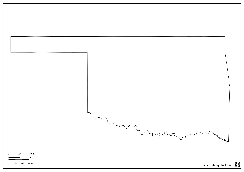
The most straightforward map of Oklahoma presented here portrays the state outline. It only incorporates the outer boundaries of the state, making it an ideal tool for sketching rivers, roads, or other geographical features onto the map.
You can easily download, save, and print any maps on our site by clicking the links beneath the images. They all are free to use according to our licensing terms.
Blank Oklahoma County Map
Oklahoma’s tale as a state of the United States unfolded in the late 19th century when the Indian Territory was opened to settlers in the Oklahoma Land Run. It was incorporated as the 46th state of the United States in 1907.
Rich in natural resources such as oil, natural gas, and agriculture, Oklahoma’s economy thrived from the beginning. The discovery of oil at the start of the 20th century led to an economic boom. Throughout the 20th century, Oklahoma expanded its economic portfolio to include aviation, energy, telecommunications, and biotechnology.
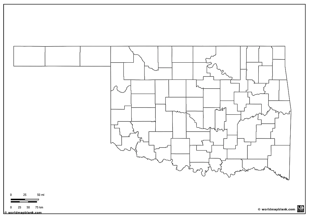
The subsequent map showcases Oklahoma’s county boundaries and offers an excellent resource for learning about the state’s counties.
Download as PDF (A4)
Download as PDF (A5)
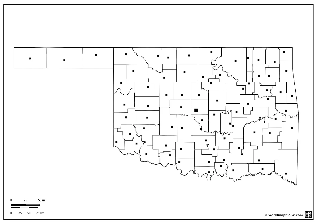
You can scroll down for more detailed Oklahoma county maps. We provide maps with all the county seats and another featuring additional cities. You can also use several of our maps in combination. This should make it easy to create interactive learning activities to practice all the names of the Oklahoma counties.
Oklahoma Outline Map with Capital and County Seats
Oklahoma City, the state’s capital and most populous city offers a vibrant blend of modern city life and traditional southern charm. The city holds a significant place in U.S. history and is renowned for its cowboy culture.
Famed for its vibrant arts scene and cultural landmarks like the Oklahoma City Museum of Art, the National Cowboy & Western Heritage Museum, and the Oklahoma City National Memorial, Oklahoma City offers much to its visitors and residents alike. It also has a thriving sports scene with notable teams like the Oklahoma City Thunder (NBA).
Oklahoma comprises a total of 77 counties. Here is a list of all of them, including the county names and the county seats:
- Adair County – Stilwell
- Alfalfa County – Cherokee
- Atoka County – Atoka
- Beaver County – Beaver
- Beckham County – Sayre
- Blaine County – Watonga
- Bryan County – Durant
- Caddo County – Anadarko
- Canadian County – El Reno
- Carter County – Ardmore
- Cherokee County – Tahlequah
- Choctaw County – Hugo
- Cimarron County – Boise City
- Cleveland County – Norman
- Coal County – Coalgate
- Comanche County – Lawton
- Cotton County – Walters
- Craig County – Vinita
- Creek County – Sapulpa
- Custer County – Arapaho
- Delaware County – Jay
- Dewey County – Taloga
- Ellis County – Arnett
- Garfield County – Enid
- Garvin County – Pauls Valley
- Grady County – Chickasha
- Grant County – Medford
- Greer County – Mangum
- Harmon County – Hollis
- Harper County – Buffalo
- Haskell County – Stigler
- Hughes County – Holdenville
- Jackson County – Altus
- Jefferson County – Waurika
- Johnston County – Tishomingo
- Kay County – Newkirk
- Kingfisher County – Kingfisher
- Kiowa County – Hobart
- Latimer County – Wilburton
- Le Flore County – Poteau
- Lincoln County – Chandler
- Logan County – Guthrie
- Love County – Marietta
- McClain County – Purcell
- McCurtain County – Idabel
- McIntosh County – Eufaula
- Major County – Fairview
- Marshall County – Madill
- Mayes County – Pryor
- Murray County – Sulphur
- Muskogee County – Muskogee
- Noble County – Perry
- Nowata County – Nowata
- Okfuskee County – Okemah
- Oklahoma County – Oklahoma City
- Okmulgee County – Okmulgee
- Osage County – Pawhuska
- Ottawa County – Miami
- Pawnee County – Pawnee
- Payne County – Stillwater
- Pittsburg County – McAlester
- Pontotoc County – Ada
- Pottawatomie County – Shawnee
- Pushmataha County – Antlers
- Roger Mills County – Cheyenne
- Rogers County – Claremore
- Seminole County – Wewoka
- Sequoyah County – Sallisaw
- Stephens County – Duncan
- Texas County – Guymon
- Tillman County – Frederick
- Tulsa County – Tulsa
- Wagoner County – Wagoner
- Washington County – Bartlesville
- Washita County – Cordell
- Woods County – Alva
- Woodward County – Woodward
Download as PDF (A4)
Download as PDF (A5)
Our downloadable PDF maps are ready for use, making them perfect for printing or incorporating into any educational or personal project. For instance, they could be used as teaching tools in a geography class, for tracing exercises, or for various crafts and DIY projects.
Remember, these maps are free to download, and you’re welcome to use them as you need.
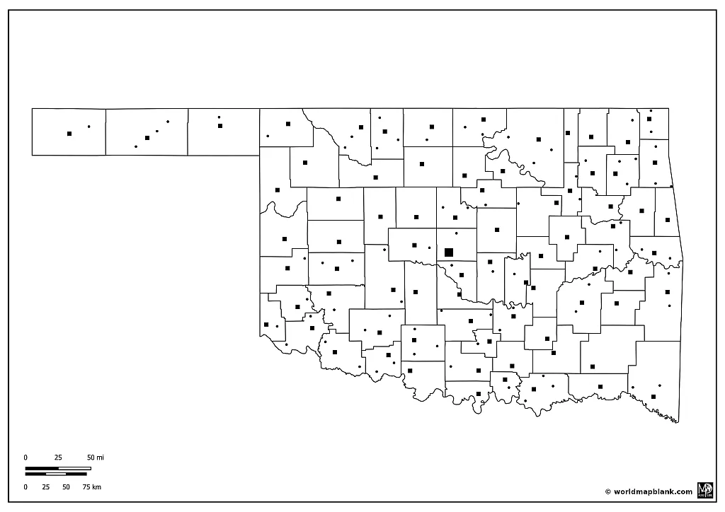
Blank Oklahoma Counties Map with Cities
Beyond Oklahoma City, the state boasts many other vibrant and notable cities. The city of Tulsa, for example, was once a hub for the nation’s oil industry and now hosts a rich cultural scene, including the Philbrook Museum of Art, the Gilcrease Museum, and the Tulsa Performing Arts Center.
Other noteworthy cities include Norman, home to the University of Oklahoma, and Stillwater, where Oklahoma State University resides. Each of these locations contributes to Oklahoma’s unique blend of history, culture, and natural beauty.
Download as PDF (A4)
Download as PDF (A5)
All maps provided here offer excellent resources for understanding Oklahoma’s geographical, cultural, and historical aspects. They can be a helpful tool for teachers, students, or anyone interested in learning more about this fascinating state.
Blank Map of Oklahoma with Neighboring States
Here is a short overview of the neighboring states of Oklahoma with links to relevant maps:
Texas: The Lone Star State is located directly south of Oklahoma. The two states share a long history and a sports rivalry known as the Red River Showdown. Texas is famous for its diverse landscapes, ranging from deserts and mountains to coastal areas, and its significant influence in the energy sector with a large number of oil and natural gas reserves.
Kansas: Positioned directly north of Oklahoma, Kansas is known for its vast plains and agricultural productivity, particularly in wheat and sunflowers. The state played a significant role in the American Civil War and is remembered for its role in the Brown v. Board of Education case, which led to the end of racial segregation in public schools.
Missouri: Northeast of Oklahoma, Missouri has a diverse geography encompassing the Ozark Mountains, the Mississippi River, and large urban areas like Kansas City and St. Louis. Missouri is also known for contributing to music with the Kansas City Jazz and St. Louis Blues genres.
Arkansas: East of Oklahoma, Arkansas is characterized by its diverse landscapes that include mountains, dense forests, fertile plains, and abundant rivers. It is known for its agriculture, specifically poultry, cotton, and rice production. The state is also home to Walmart, the largest retail corporation in the world.
Colorado: Northwest of Oklahoma, Colorado is recognized for its diverse landscapes of arid desert, river canyons, and the snow-covered Rocky Mountains. Industries like technology, aerospace, and outdoor recreation drive Colorado’s economy.
New Mexico: Located west of Oklahoma, New Mexico is known for its vibrant mix of Hispanic, Native American, and Anglo cultures, reflected in its architecture, food, and arts. It features diverse landscapes, including deserts, mesas, mountains, and the Rio Grande.
Download as PDF (A4)
Download as PDF (A5)
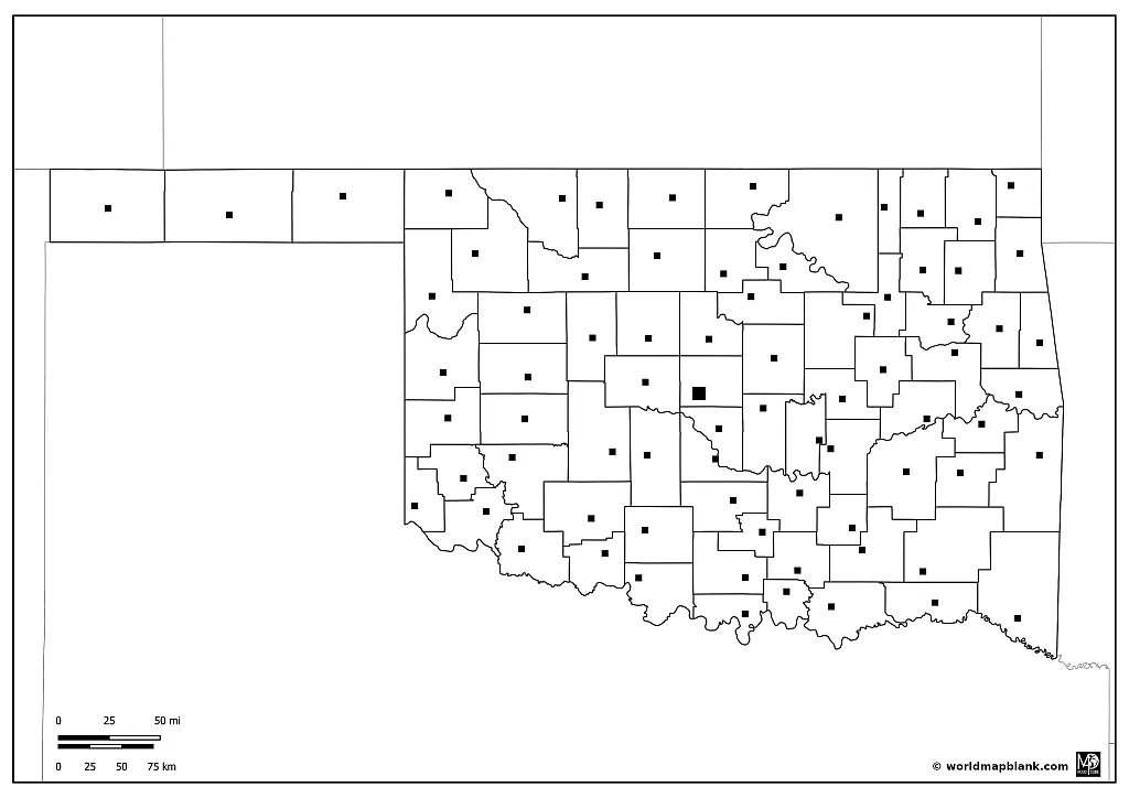
Accordingly, our last map above shows all the counties of Oklahoma with their county seats and the borders of Oklahoma with other US states.
More USA Maps
If you found these maps helpful, we would appreciate sharing this page with others. If you have any questions or suggestions, feel free to reach out via our contact form. Your feedback is important to us.
Here are some more USA maps for your collection. We offer both blank and labeled maps of the United States, which can be printed as often as needed:
- Blank USA map
- Interstate Map
- Map of the United States
- California Outline Map
- California Map
- Blank Hawaii Map with Cities
- Arizona Outline Map
- Blank Map of Texas
Other Free PDF Maps
But of course, we do not only provide maps of America. We also offer various types of world maps, country maps, and continent maps. All of them are available for free as PDF files. Please find below a curated list of some of our most popular maps. If the desired map is not listed, you can use the search feature at the top of this page.
World Maps
- Blank World Map
- Map of World Continents
- Latitude Map of the World
- Political World Map
- World Ocean Map
- World Map for Kids
Continent Maps
- Africa Map Labeled
- Africa Blank Map
- Europe Map Labeled
- Europe Rivers Map
- Europe Countries Map
- Blank South America Map
- Asia Map Labeled
- North America Outline
- Australia Map Labeled
Country Maps
- Map of Ireland Counties
- Map of Canada with Cities
- Brazil Outline
- Map of China Labeled
- Printable Map of Italy with Cities
- Germany Map Cities
- France Map Cities
- India Map Cities
With maps created by:
Edelweise Shane Angeles is a skilled GIS Analyst and Cartographer from Davao City, Philippines. Holding a Bachelor's in Geology and Earth Science, he specializes in creating practical, clear maps using tools like Global Mapper, ArcGIS, ArcMap, and Google Earth Pro. Edelweise creates both blank and labelled maps for World Map Blank.


