Printable Blank Map of Wisconsin – Wisconsin Map Outline
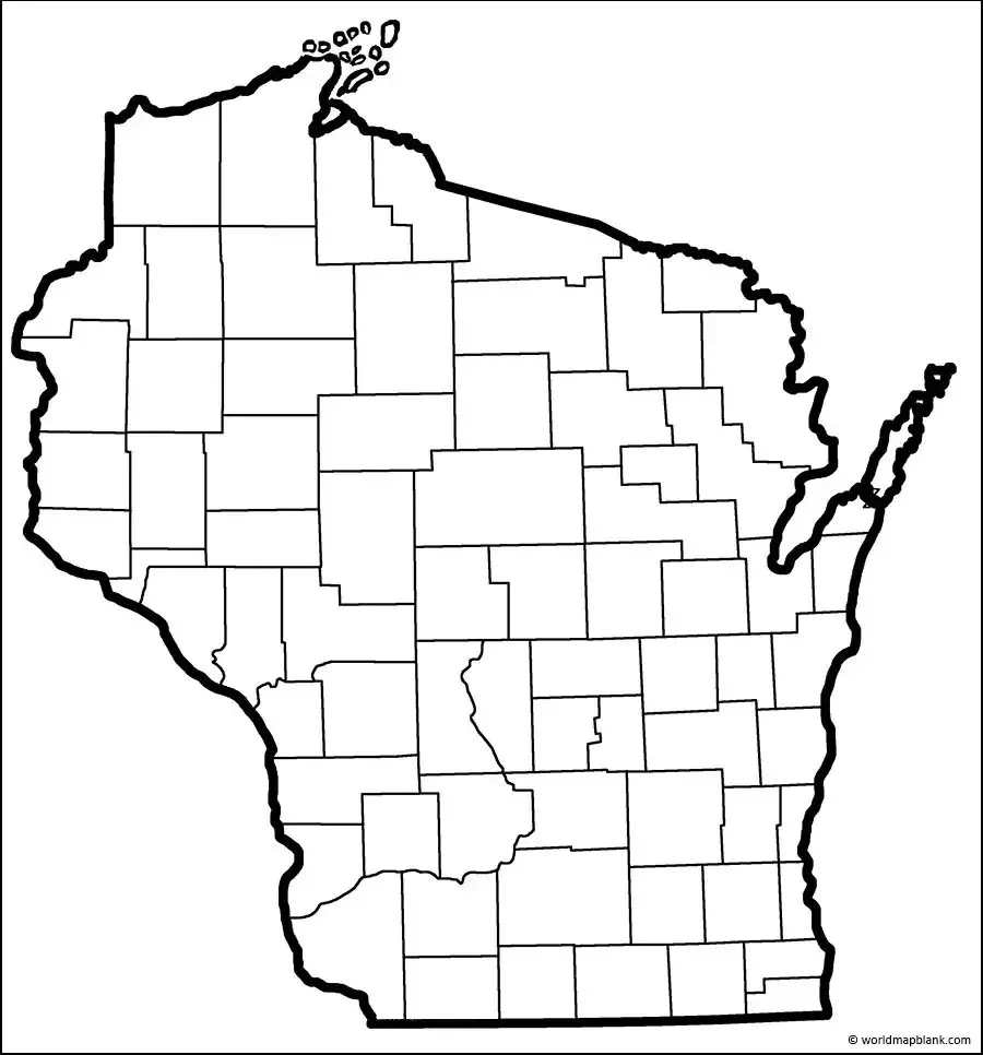
Any user can find out information about Wisconsin state, in the US, by referring to a Blank Map of Wisconsin in its printed version. Such a map will help the user to identify, locate and mark places. It is also possible to highlight information on the map about regions, cities, rivers, and mountains that are relevant to the geography of Wisconsin.
Blank Map of Wisconsin Outline
This is one among the East North Central states located in the north-central region of the mainland in the US. It has borders with Michigan and Lake Superior in the north, and in the east with Lake Michigan. In the south, it has borders with Illinois; the River Mississippi forms sections of its state borders with Minnesota and Iowa, in the West. Wisconsin state ranks twenty-third in the US in an area with a total area of 65,496 square miles or 169,634 square kilometers. This state is smaller than half the size of Germany.
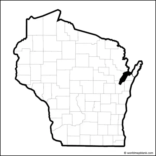
When compared with other US states, Wisconsin might fit into Texas slightly more than four times. Seventeen percent of Wisconsin’s territory consists of an area covered by water and about forty-six percent of Wisconsin state is covered by forest. The blank map of Wisconsin state provides the outer boundaries of the state, which acts as a guideline by which the user can easily draw a full-fledged map. The outline blank map can be offered to the early schooling kids to teach them mapping skills of Wisconsin without making any mistakes.
Printable Map of Wisconsin
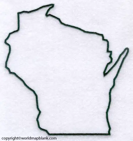
The user will be able to visualize all the geographical details of Wisconsin state by referring to a printable map of Wisconsin. The user prefers to possess a printable map of Wisconsin in this modern age of the internet as it needs little effort while accessing the map from the web. Everyone can use this map, which will be helpful for study purposes or for exploring the geographical details of the state.
Transparent PNG Blank Map of Wisconsin
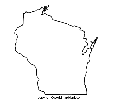
It is possible for the user to find many versions of the Wisconsin map in the market. But possessing a transparent PNG Wisconsin version map is always found to be unique. Besides, the user will be able to view a detailed picture of several regions related to the geography of the state in this transparent PNG Wisconsin state map. On the other hand, if the user intends to perform some research on the landscape features, he or she can have a transparent PNG map of Wisconsin that reflects the details of the mountains or rivers flowing in the state.
Wisconsin Blank Map Worksheet
Learners and researchers of geography can perform the regular practice of working on the practice worksheet of Wisconsin. It is designed especially for this purpose and this exercise can improve the user’s knowledge of the geography of Wisconsin state. The worksheet has been formulated with the integration of some general questions related to the geography of Wisconsin. This enables the learner to answer questions based on his or her previous knowledge, easily.
More Free Printable Maps for Download
Here is a collection of other maps you can get on our website for free in PDF.
USA 50 States Maps Blank
Printable Blank Map of Arkansas
Printable Blank Map of Colorado
Printable Blank Map of Florida
Printable Blank Map of Indiana
Printable Blank Map of Louisiana
Printable Blank Map of Maryland
Printable Blank Map of Mississippi
Printable Blank Map of New Jersey
Printable Blank Map of New York
Printable Blank Map of Oklahoma
Printable Blank Map of South Dakota
Printable Blank Map of West Virginia
United States Maps
Blank Map of the United States
World Maps
Continent Maps
South America Map with Countries

