
🌍 Blank Map of Africa
🌍 Blank Map of Africa
Download a printable blank map of Africa for geography teaching, practice worksheets, classroom exercises, quizzes, travel planning, and more.
Couldn't load pickup availability
Add multiple maps to the cart to download them all at once.
🗺️ Blank Map of Africa for Practice, Learning, or Projects
Download your free blank map of Africa as a JPEG image and a PDF file. You can also explore our blank continent maps or use a blank map of Asia for more continent map practice.
Blank maps are great for classroom activities, geography quizzes, worksheets, or creative projects like coloring, planning trips, or marking visited countries.
Whether you're looking for a blank map of Africa, an outline map of Africa, or a blank map of Africa with seas and oceans, this download offers versatile options, optimized for clear printing and educational use.
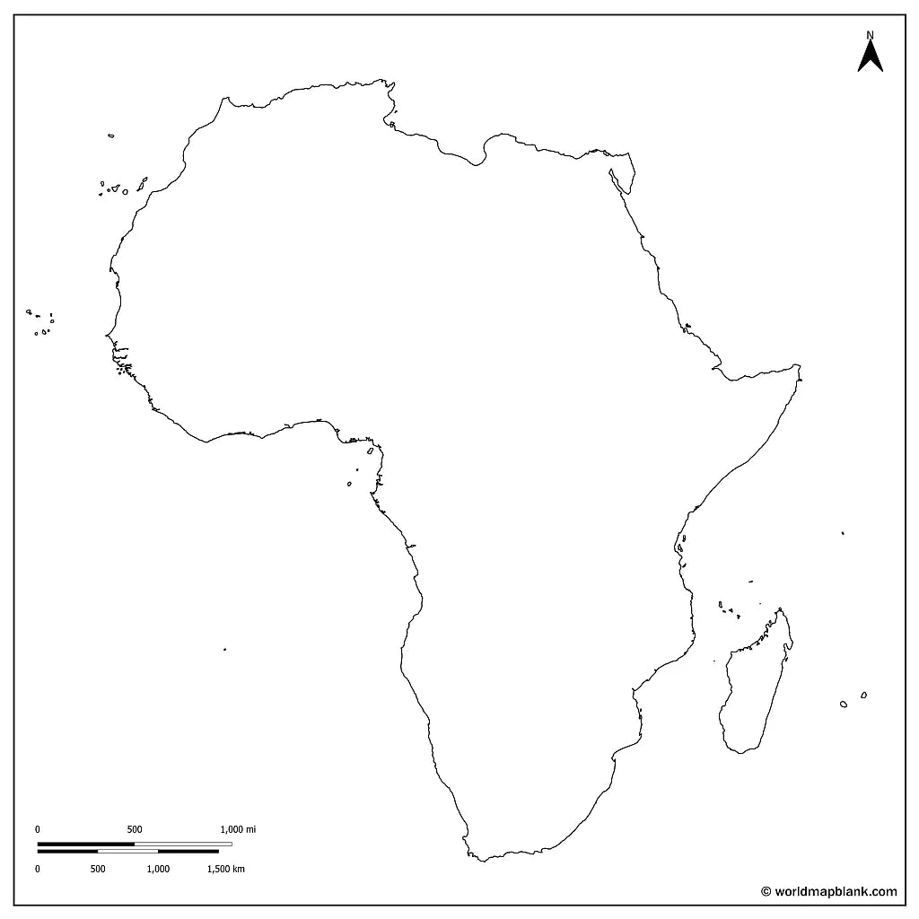
The below image shows a printable blank map of Africa with country borders.

We offer several other versions of a blank map of Africa for free download.
📁 Africa Outline Map and More
Each file is available in high-resolution PDF and JPEG formats, ready for download and immediate use.
Available styles:
Or get your Africa blank maps bundle, including several variations for different learning and reference needs.
- Blank map of Africa
- Outline map of Africa
- Blank map of Africa with seas and oceans
- Blank Africa map with capitals
- Labeled Africa map for reference
The bundle includes PDF and JPEG versions of all maps. The maps with countries and/or capitals include all borders between the African countries and markers for their capital cities.
The blank map with seas and oceans includes the Atlantic Ocean, the Mediterranean, the Red Sea, and the Indian Ocean.
✅ Blank Map of Africa Features
This printable blank map of Africa is designed for easy printing and clear geographic reference, making it ideal for both classroom and personal use.
- High-resolution PDF and JPEG formats
- Blank and outline versions for flexible use
- Maps with country borders and capital markers
- Versions with seas and oceans for added reference
- Labeled Africa map for reference and study support
🛒 How to Get Your Printable Map
- Add all your preferred map(s) to the cart
- Proceed to checkout
- Download your maps instantly
🎓 Who It's For
A blank map of Africa is ideal for students, teachers, homeschoolers, and travelers. It works well for labeling exercises, geography worksheets, study projects, and continent map practice.
You can also check out our ready-made and customizable Africa map worksheets and our free labeled map of Africa to complete your collection.
Download your blank map of Africa now and start using it for learning, geography practice, or your own projects.


What Can I Do with a Blank Map?
A blank map is especially useful for learning geography, understanding regions and borders, and visualizing spatial relationships in a clear and simple way.
Maybe you're a teacher planning tomorrow's lesson. Maybe you're a parent pulling together a homeschool unit, a student studying for a geography test, or a traveler dreaming up your next trip. Whatever the reason, a blank map is one of those surprisingly useful tools that work in a hundred different ways.
Teachers can have students label countries, capitals, mountain ranges, rivers, and oceans. They can also show how borders shifted over centuries to make a history lesson click. Blank maps are also perfect for creating geography tests and printable worksheets, from simple labeling exercises to full quizzes tailored to your lesson. Hand out a map of Europe and ask students to draw the boundaries before and after World War I. Or use a world map to track current events by shading in countries as they come up in the news. Over a few weeks, students start to notice how much of the world they actually recognize.
Parents and homeschoolers can use blank maps the same way. Have your kids color-code the continents, label the five oceans, or mark the capitals of every country in South America. For older students, print a map with latitude and longitude lines and let them figure out which city sits at each set of coordinates. You can also pair a blank map with a labeled one and turn it into a self-grading quiz.
For younger students, coloring a map is one of the easiest ways to lock in geographic knowledge. Scavenger hunts and quiz games keep review sessions from getting stale. Set a timer and see how many states or countries everyone can label from memory. It gets competitive fast.
If you're learning a language, try writing a local greeting or a few vocabulary words on each country. It's a small thing, but tying words to a place on a map makes them stick better than flashcards alone.
Travelers can turn a blank map into a kind of visual journal. Color in the places you've been, trace your travel adventures an routes, and scribble a favorite memory next to each one. Print a second copy and use it as a bucket list. Mark the places you still want to see.
Blank maps are handy outside the classroom too. Drop one into a business presentation to show sales territories, office locations, or where you're planning to expand. Or print a large one, frame it, and hang it as wall art. Add pins for places you've been, stickers for places you want to go, or a few watercolor washes to make it your own.
All you really need is a pencil, some colored markers, and a little imagination. From there, a blank map can turn into just about anything.